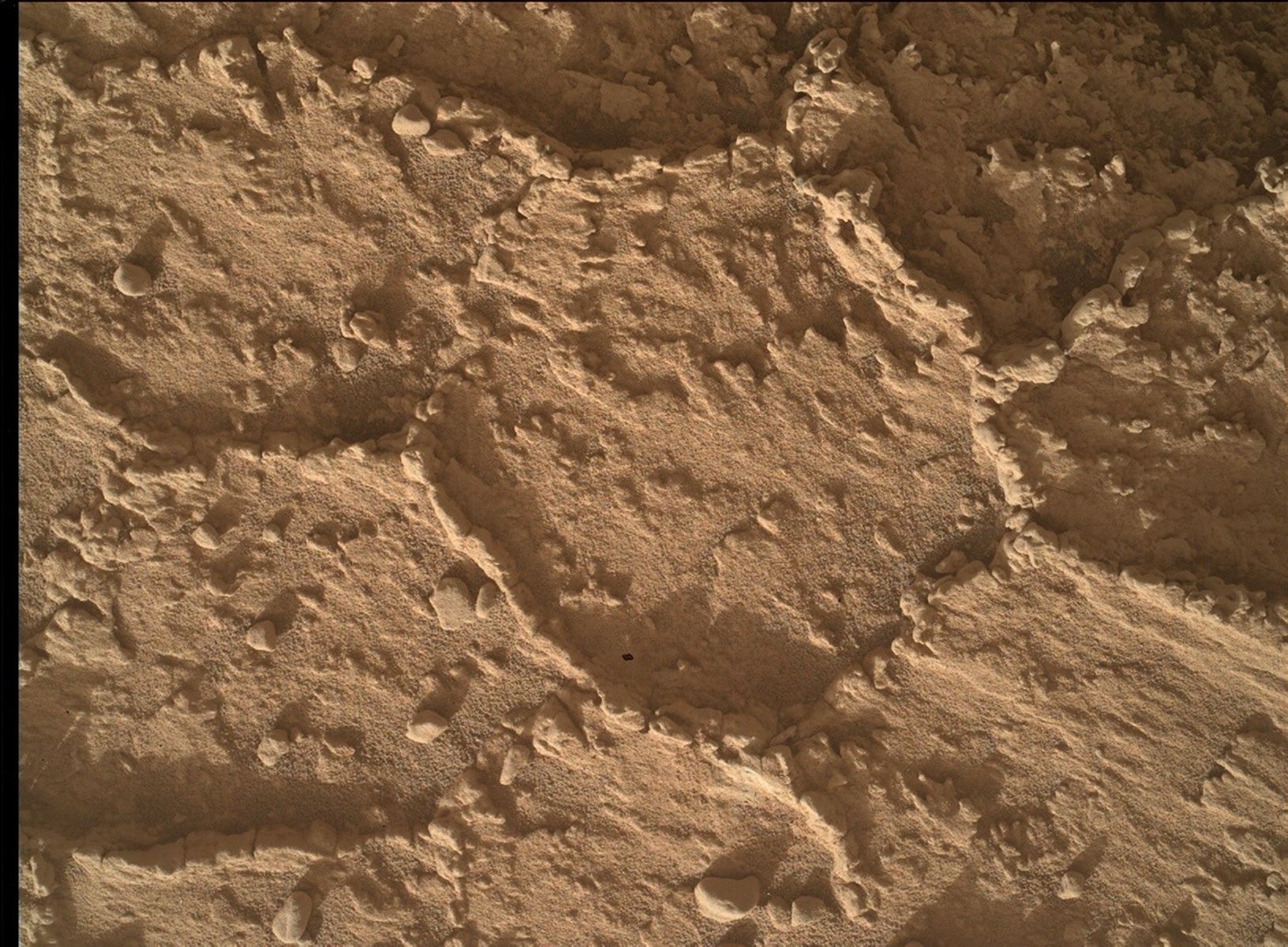
Well it was an exciting day for space exploration! As we were working operations this morning many space enthusiasts on the team were keeping tabs on the launch and splashdown of the Orion capsule – the new spacecraft that might someday take astronauts to Mars. It was fun to think about future human exploration on Mars as we were putting together our rover plan for the day. It was also great to have all three USGS bloggers working together today. I was on duty as the Geology and Mineralogy Science Theme Lead and Ryan was the Keeper of the Plan, so collectively we assembled the geology tasks that Curiosity will carry out over the weekend (Sols 830-832). Ken was the Mars Hand Lens Imager (MAHLI) Payload Uplink Lead today, meaning that he was responsible for the details of all of the MAHLI activities (figuring out the right pointing, standoff distance, priorities etc. to get good high-resolution images using the camera on the end of the rover’s arm). And we certainly gave Ken a lot of work to do today! The plan includes contact science (using the instruments on the rover’s arm) on the targets "Pickhandle" and "Goldstone" to characterize the lower and middle parts of the Chinle outcrop. First we’ll use the Dust Removal Tool to clean off a fresh surface at "Goldstone" (we cleaned off "Pickhandle in the Sol 828 plan). This MAHLI image from Sol 828 shows "Goldstone" before brushing. Then we’ll acquire several MAHLI images on each target, taken at different distances and offsets to get both context and stereo imaging. Then we’ll place the Alpha Particle X-ray Spectrometer (APXS) on "Goldstone" to figure out the bulk chemical composition. On the third sol of the weekend plan, we’ll move the arm out of the way and use ChemCam and Mastcam to characterize the targets that we brushed. The plan also includes some extra Mastcam imaging to make a nice mosaic of the outcrop, several observations of the ChemCam calibration targets, and a Navcam observation to monitor the atmosphere above Mount Sharp. I love these days when we get to use so many different instruments to characterize a place on Mars! Dates of planned rover activities described in these reports are subject to change due to a variety of factors related to the Martian environment, communication relays and rover status.
Written by Lauren Edgar, Planetary Geologist at USGS Astrogeology Science Center

