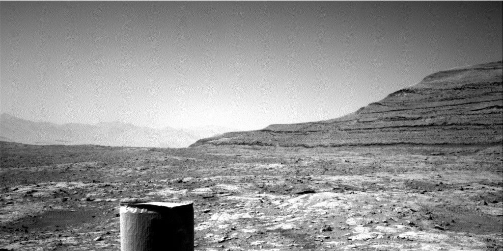
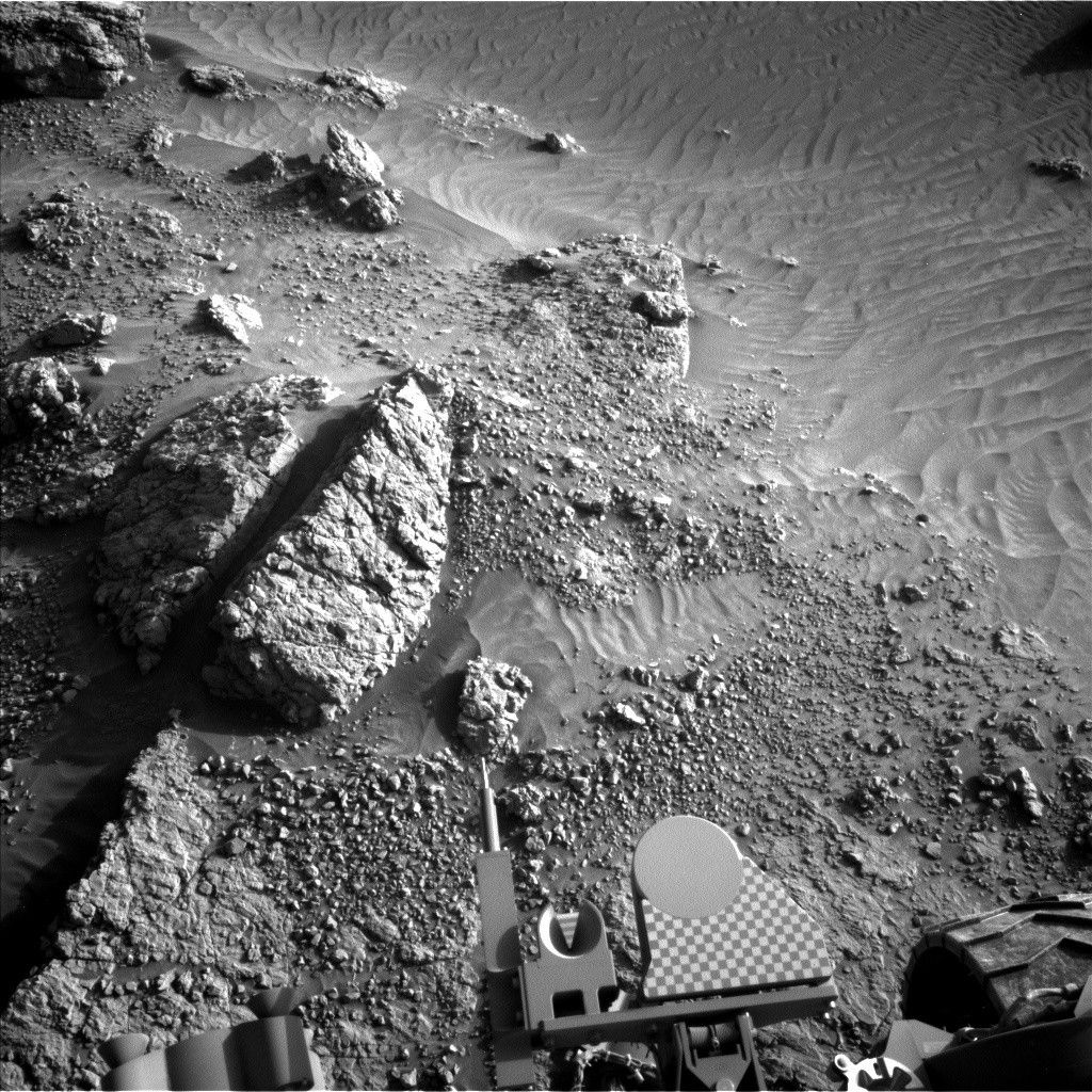
The 5-meter drive planned for Sol 837 placed the rover near dubbed "Whale Rock" as intended.
The 5-meter drive planned for Sol 837 placed the rover near dubbed "Whale Rock" as intended.
Front Hazcam images show blocks that appear to have fallen from the outcrop and in-place bedrock patches; both can be reached by the arm instruments, so the Sol 840 plan includes MAHLI images from 25 cm standoff distance of the block and bedrock targets "San Andreas," "Tecoya," "Gem Hill" and "San Bernardino." The arm will also be used to image the wheels and clean out CHIMRA (the sample handling equipment).
I'm SOWG Chair today, and all has gone well so far. But, as usual, the risk of rover slip must be assessed before arm activities can be planned. The rover is now tilted over 18 degrees, more than it has been tilted for any arm activities during the mission so far, so slip risk assessment requires more time and effort than it has in the past. As I write this, we are still "go" for arm activities, and of course I'm hoping that won't change.
by Ken Herkenhoff
Dates of planned rover activities described in these reports are subject to change due to a variety of factors related to the Martian environment, communication relays and rover status.
Written by Ken Herkenhoff, Planetary Geologist at USGS Astrogeology Science Center


