![Request for Information – Potential [Placeholder for Prize]](https://assets.science.nasa.gov/dynamicimage/assets/science/psd/solar/2023/09/s/solarsystem_0.jpg?w=1024)


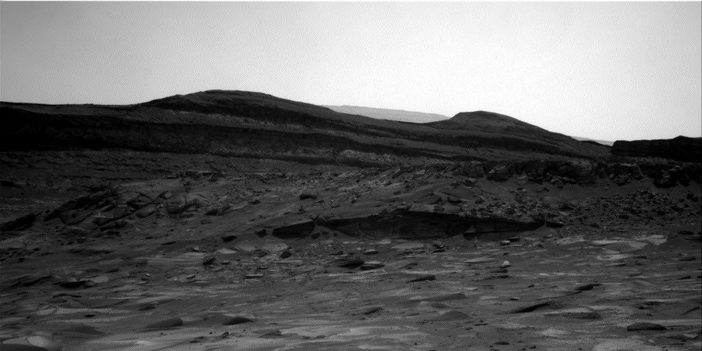
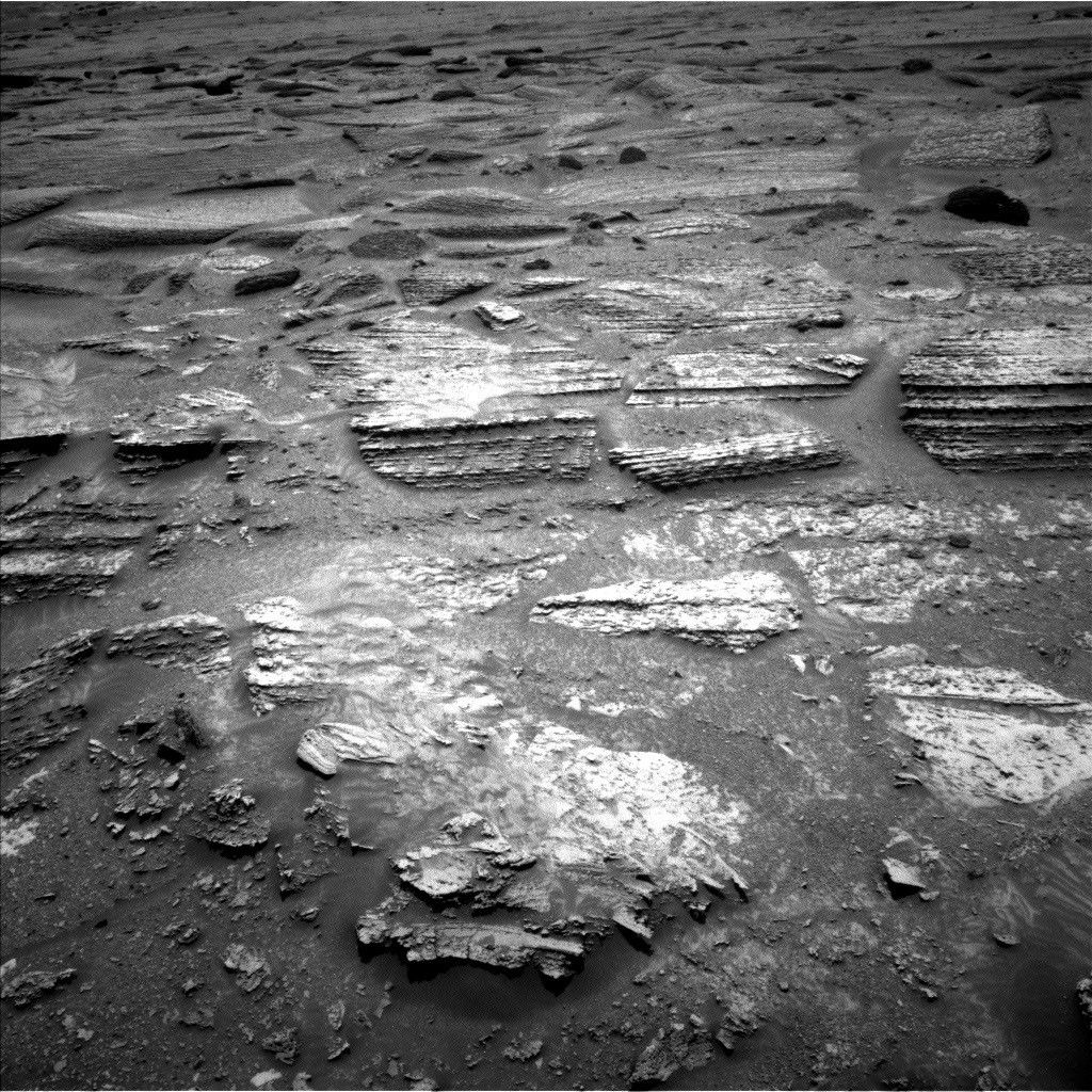
It’s time to hit the road again! In the Sol 862-863 plan, we
are wrapping things up at "Whale Rock" and then driving about 85 m toward "Pink
Cliffs", where we hope to drill sometime soon. On Sol 862, Mastcam will take a
few parting shots of Whale Rock and "Western Cliffs" before we drive away.
After driving, we will do our standard post-drive imaging with Navcam and
Mastcam to get a good look at our surroundings.
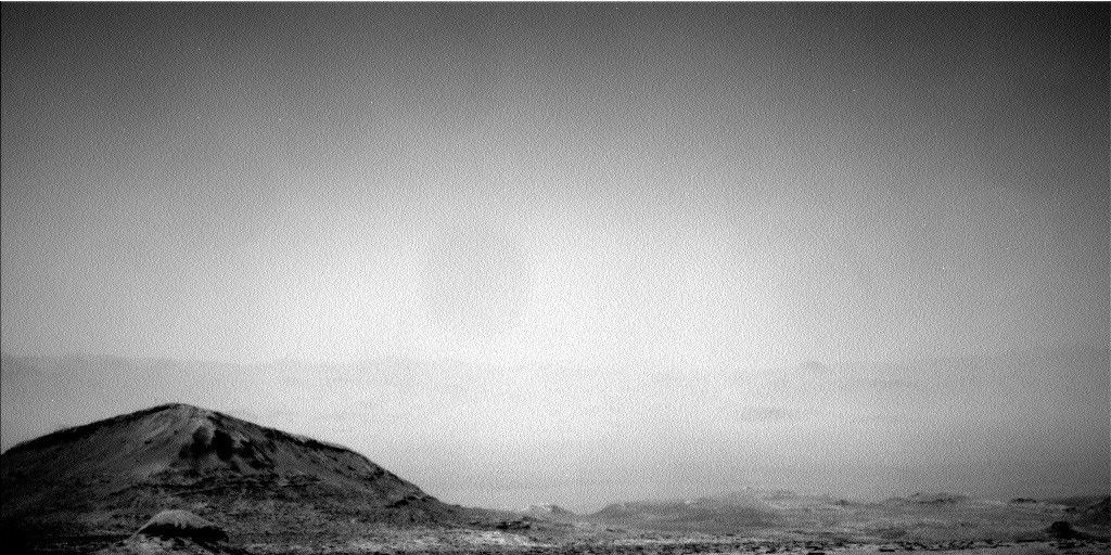
On Sol 863, Mastcam will look at the sun to measure how much
dust is in the atmosphere (this measurement is called a "tau" because that’s
the symbol used in the equation that shows how much the sun’s light is
attenuated). Navcam will watch for clouds above Mt. Sharp, and ChemCam will
make a passive sky observation. ChemCam will also make some measurements of the
on-board calibration targets. by Ryan Anderson --Ryan is a planetary scientist at the USGS Astrogeology Science Center and a member of the ChemCam team on MSL. Dates of planned rover activities described in these reports are subject to change due to a variety of factors related to the Martian environment, communication relays and rover status.
Written by Ryan Anderson, Planetary Geologist at USGS Astrogeology Science Center