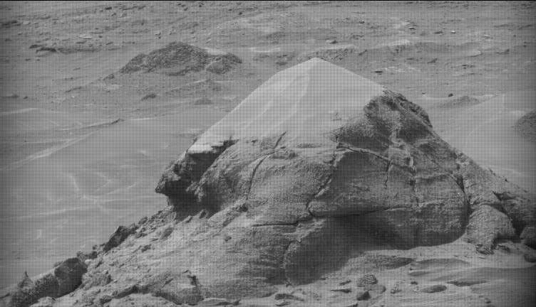
MSL drove almost 27 meters on Sol 1610 to a location with several potential targets , so the planning team spent some time discussing priorities. A dark patch of bedrock, appropriately named "Patch Mountain" was chosen for ChemCam, Right Mastcam, and MAHLI observations. The MAHLI imaging was moved after the ChemCam observation so that the LIBS impact spots would be visible. An additional MAHLI image was added to the standard full suite, to provide a 3-image mosaic from 5 cm. Then the rover will drive again, and take images afterward to enable planning more activities on Sol 1612. Just before sunset, Navcam will search for dust devils and REMS will complete the second part of their flight software update.
by Ken Herkenhoff
Dates of planned rover activities described in these reports are subject to change due to a variety of factors related to the Martian environment, communication relays and rover status.
Written by Ken Herkenhoff, Planetary Geologist at USGS Astrogeology Science Center