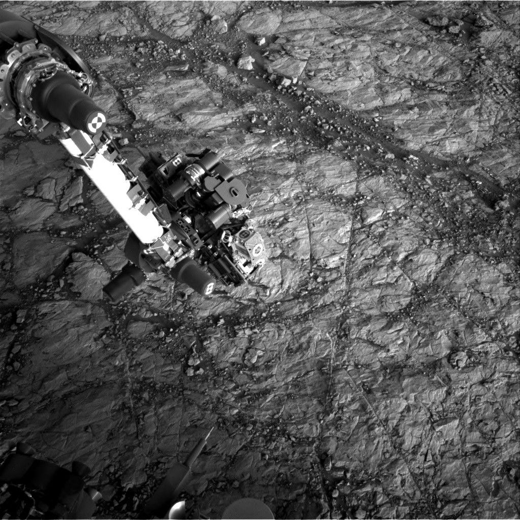
After Monday's communications hiccup (detailed here) that prevented us from uplinking our two-sol plan, today we're hoping to redo most of what we had in Monday's plan. This primarily includes a remote science block, during which we'll shoot a few ChemCam targets named "Hartley," "Hooggenoeg," and "Beaufort" to study nearby pebbles and bedrock. We'll also look behind us to take some Mastcam mosaics of Aeolis Palus, the Gale crater plains to the north of Mount Sharp. We'll take some additional Mastcam images to document local bedrock features as well as the Vera Rubin Ridge terrain just in front of the rover.
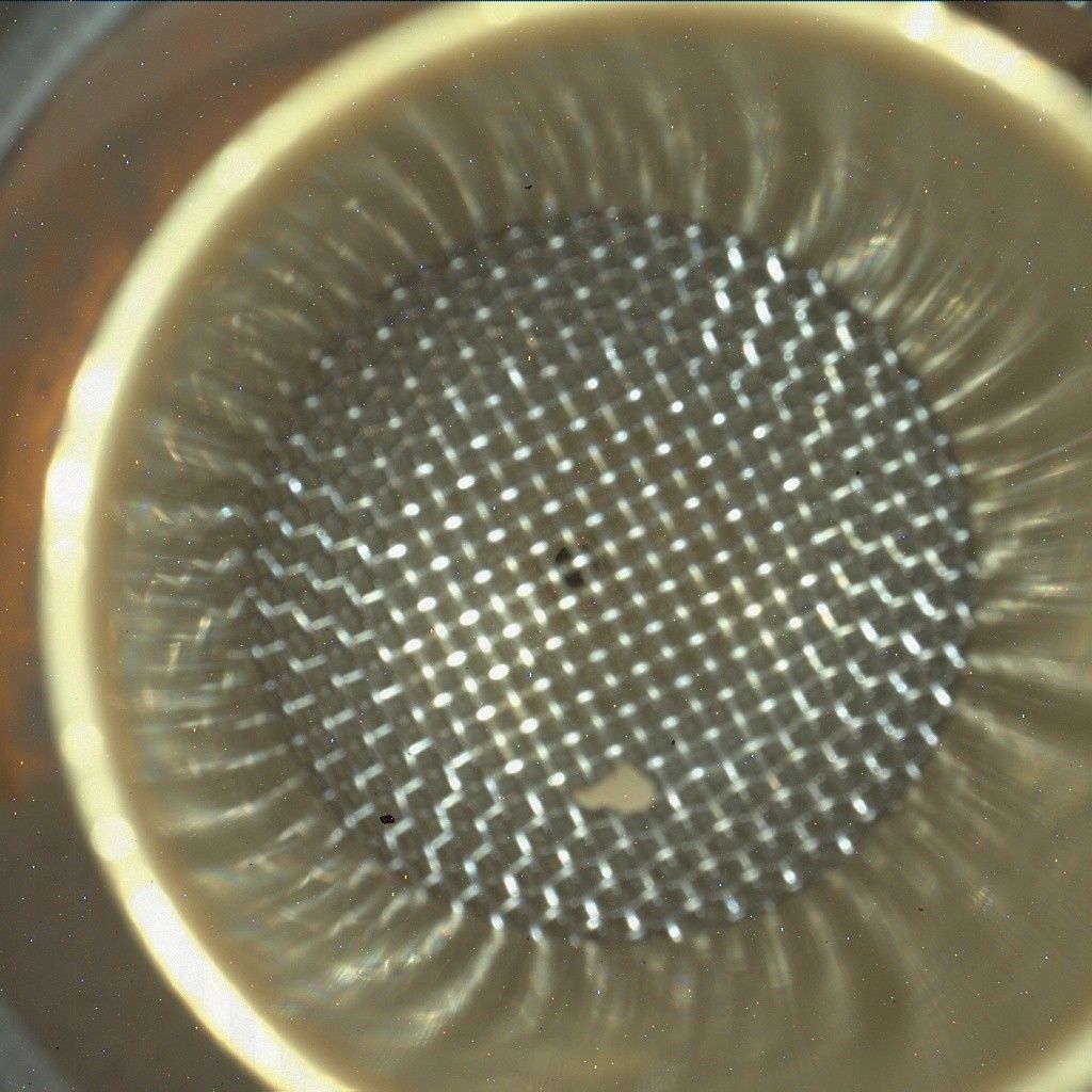
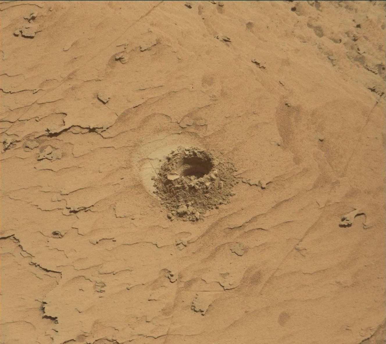
We originally planned to do a SAM analysis of our stored "Ogunquit Beach" sand sample, but we came across a late breaking issue that caused us to remove the activity from the plan. It turns out that Mastcam images showed that the sample may not have made it into the SAM instrument. As a precautionary measure, we decided to forego the analysis for today since there is a chance that the SAM sample cup is empty. Better luck on Friday!
Written by Rachel Kronyak, Planetary Geologist at NASA's Jet Propulsion Laboratory