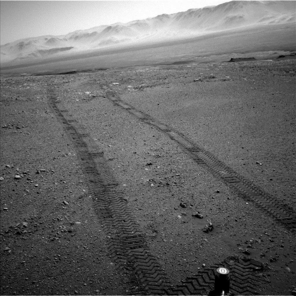
As indicated by our long wheel tracks in the Navcam image above, our planned ~25-meter drive on Sol 1896 was successful, bringing us to another stop along our route on the Vera Rubin Ridge (VRR). We'll actually spend a few days at this stop, where we plan to assess the surrounding bedrock, soil, and what we think might be a small impact crater.
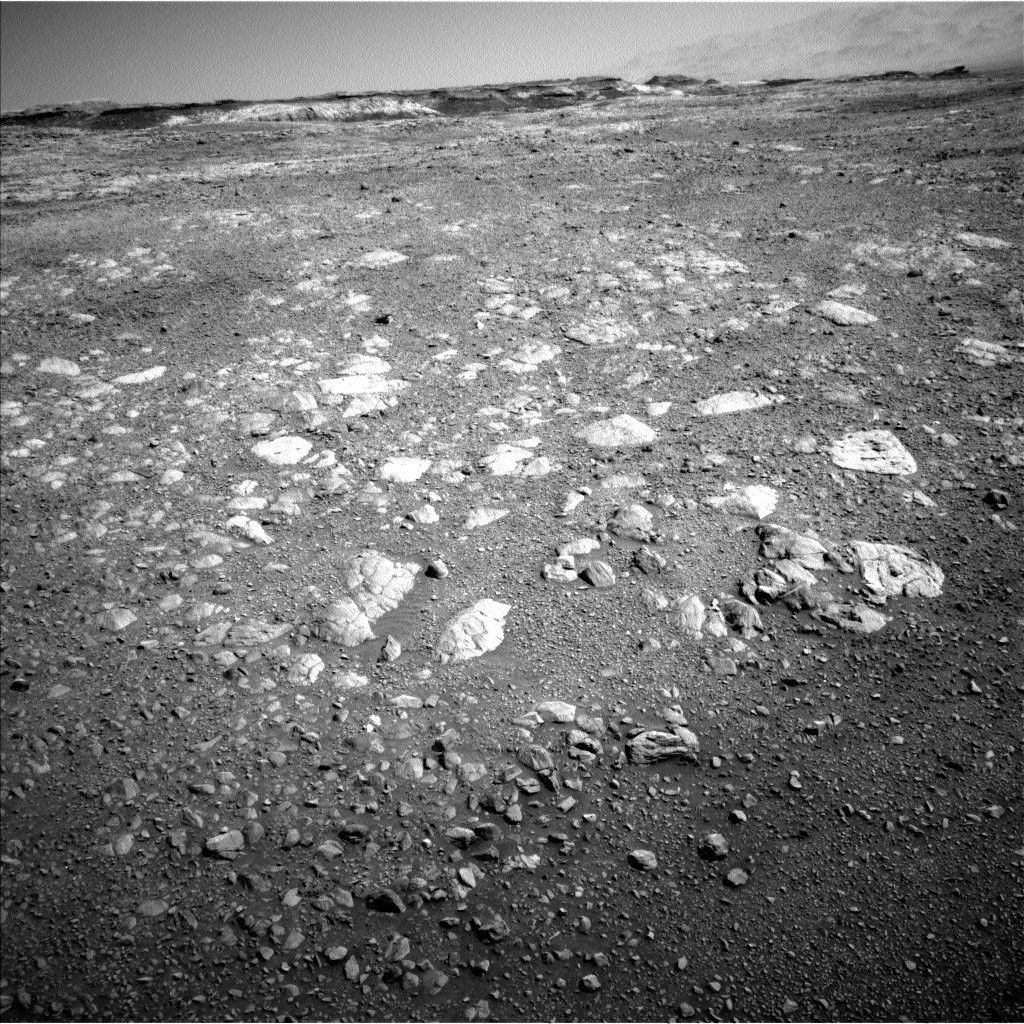
The bedrock around the rover at this stop is quite rubbly, which made choosing targets for APXS and MAHLI measurements slightly more difficult, as it's often hard to place the arm in contact with rough surfaces. Nevertheless, we planned a very busy 2 sols of science activities! We'll spend Sol 1897 using the robotic arm to collect APXS and MAHLI data on 2 bedrock targets (named "Muck" and "Wick") and a soil target named "Sandness." Overnight on Sol 1897, we'll be conducting a SAM preconditioning activity that will set us up to perform an exciting geochrononology experiment over the weekend on our stored "Ogunquit Beach" sand sample.
Sol 1898 is primarily devoted to remote science. First, we'll take some ENV measurements, including a suprahorizon movie, dust devil survey, Mastcam tau, and line-of-sight extinction. Next, we'll analyze the soil target "Sandwick" with ChemCam, along with an automated AEGIS target. To wrap up our observations, we'll take a series of Mastcam mosaics to capture the local geology, including the sand ripple target named "Loch Eil" and the coarse sandy target named "Ballantrae." We'll also take a few images of the terrain ahead to help assess our drive path along the VRR. We'll remain at this location for the weekend as well.
In other exciting news, Curiosity has crossed into a new section of the science team's geologic map. This means we have a new theme for naming targets, which was reflected in today's target names. The new quadrangle is named after Torridon, a village in the Northwest Highlands of Scotland that is near the Torridonian Supergroup, a geological formation that contains some of the oldest evidence of life of any rocks in the United Kingdom. We hope that this life-inspired Torridon quadrangle will give us good luck as we explore the ancient (and potentially habitable) environments along our trek up Mount Sharp!
Written by Rachel Kronyak, Planetary Geologist at NASA's Jet Propulsion Laboratory