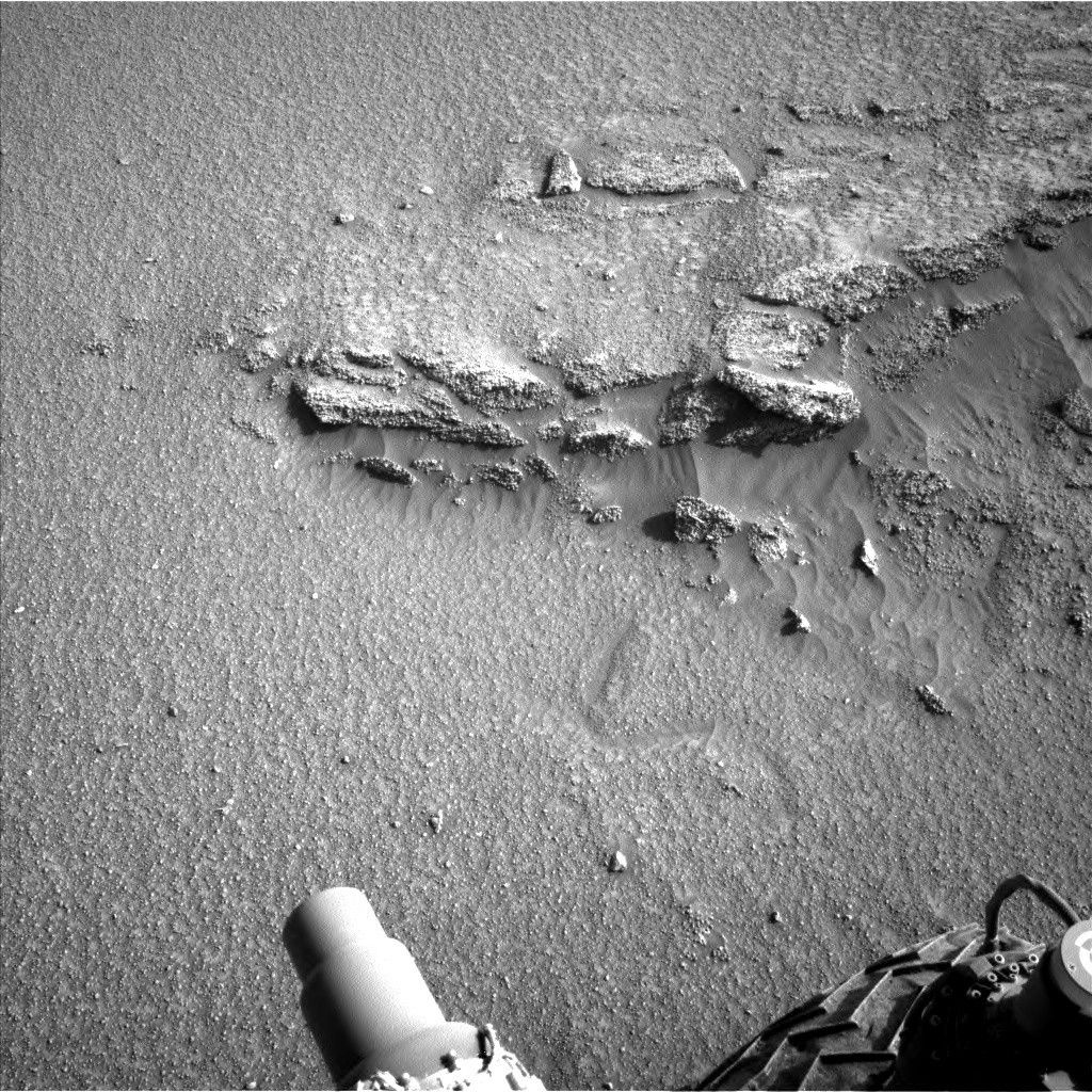
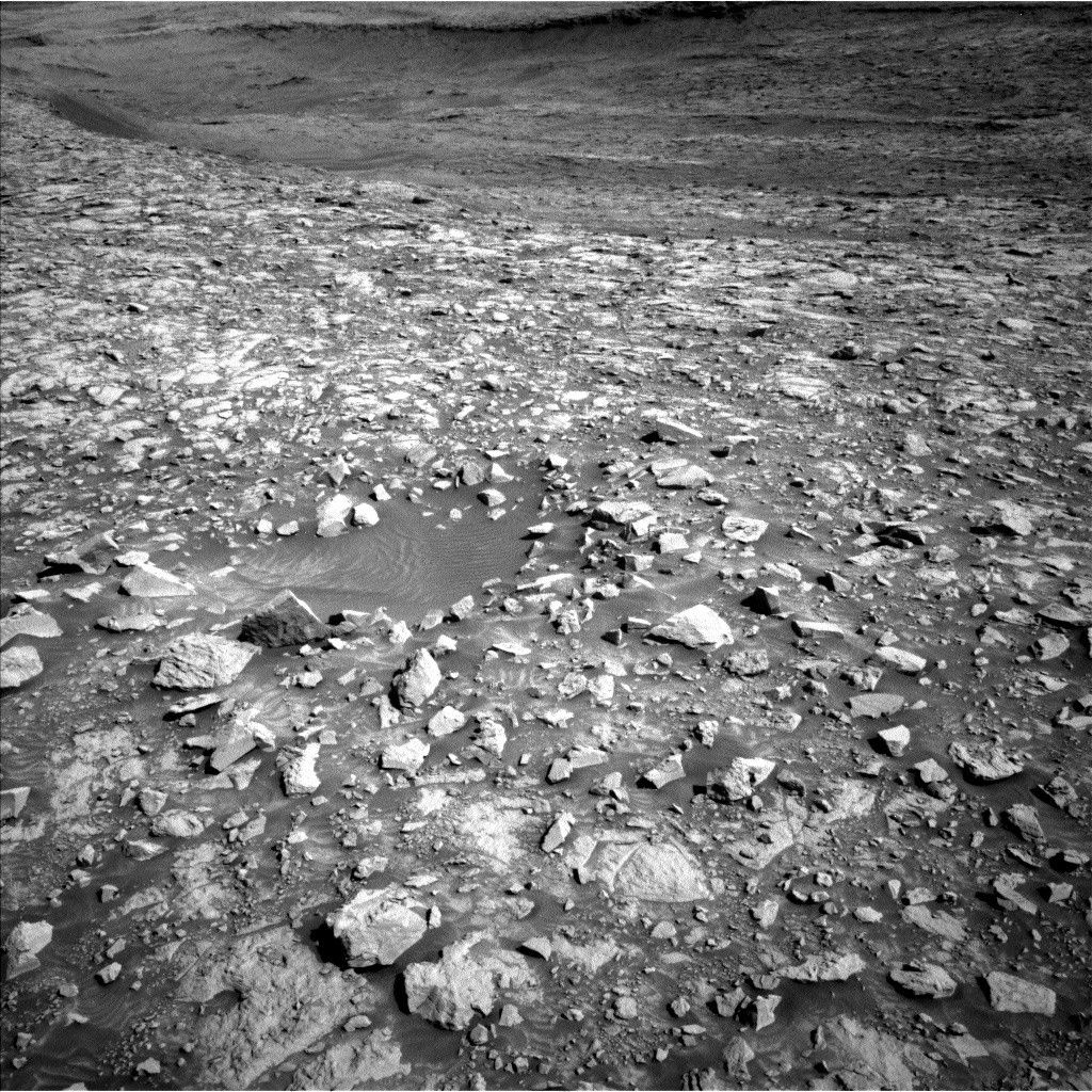
As you can see in the above image, the terrain our rover drivers is navigating is challenging - slippery sand surrounding big, wheel-unfriendly rocks. These contrasting regimes contributed to us not-quite-arriving at our planned workspace with all six wheels confidently on known terrain. Thus, we had to pivot from a combined contact and remote science day, to one with remote science and a drive. But the interesting textures in the workspace and the surrounding terrain motivated the science team to not want to stray too far from this area. So the rover drivers planned a short bump toward another intriguing rock that gives us a bit more confidence that we can arrive at it to enable arm work in the next plan.
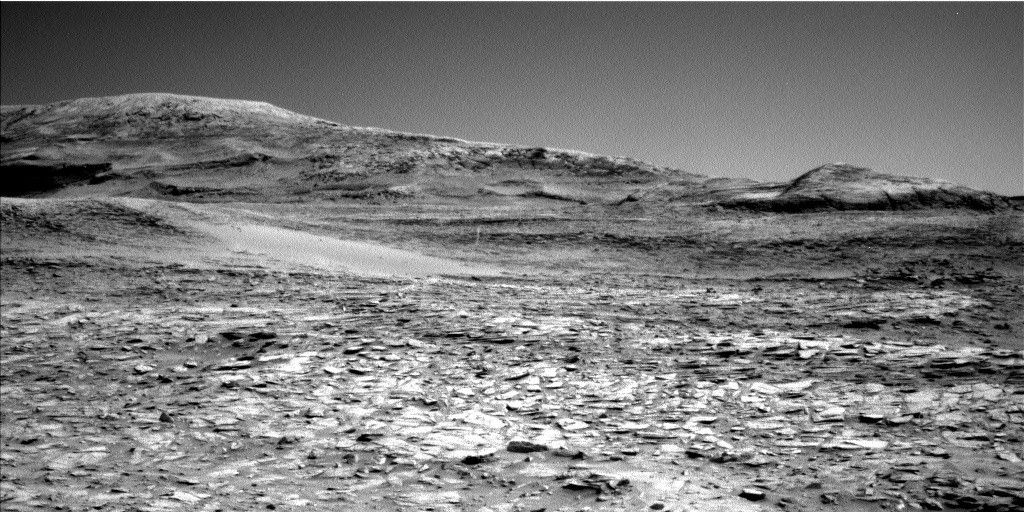
With no arm work in the plan, our GEO and ENV planning groups ably filled up our pre-drive science time with ChemCam, Navcam, and Mastcam observations. Navcam will start things off with a dust devil survey. Mastcam planned a series of stereo images and mosaics at targets that all shared regularly-spaced, resistant features paralleling the layering of this area; despite being geographically dispersed, their similarities earned them the same name, “Teotonio.” Layering patterns on another target, “La Macarena” (pause to sing it to yourself…), earned another Mastcam mosaic, as did one of the blocks in the area (“La Vueltosa”) exhibiting a scalloped fracture pattern that we have not seen for quite awhile. This pattern is also present on the block we are bumping toward, “Regina.” The Mastcam images we planned on Regina should be returned to Earth in time to help us plan our analysis of it tomorrow. ChemCam targeted yet another scalloped fracture block, “Chiles,” with its lone LIBS analysis in the plan. Farther afield, Mastcam will capture the west side of “Owenteik” butte, and ChemCam will collect an RMI mosaic of a hypothesized inverted channel structure on Gediz Vallis Ridge.
In parallel with all the pre-drive science and the drive, DAN passive will run for four hours, adding an active measurement post-drive, as well. Post-drive, Navcam will acquire a cloud altitude observation, and MARDI will give us a view of the ground beneath our left front wheel. RAD and REMS will keep their regular watch on the weather and radiation conditions in Gale.
Written by Michelle Minitti, Planetary Geologist at Framework


