The RPs are going to take a little more time to diagnose the drill fault before we drive or use the arm again, so today’s plan is focused on targeted remote sensing.
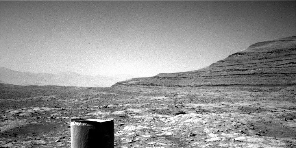
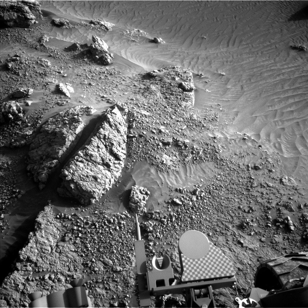
The RPs are going to take a little more time to diagnose the drill fault before we drive or use the arm again, so today’s plan is focused on targeted remote sensing. We’re still at the "Precipice" site, assessing the composition and sedimentary structures in the Murray bedrock and carrying out some long distance observations. Today’s plan includes a long distance ChemCam RMI mosaic to monitor linear features observed from HiRISE and another RMI mosaic to investigate the stratigraphy exposed in a butte called "Ireson Hill." The plan also includes a Mastcam mosaic to search for fracture patterns in the vicinity of "Squid Cove," and a Mastcam clast survey for change detection. By Lauren Edgar --Lauren is a Research Geologist at the USGS Astrogeology Science Center and a member of the MSL science team.
Dates of planned rover activities described in these reports are subject to change due to a variety of factors related to the Martian environment, communication relays and rover status.
Written by Lauren Edgar, Planetary Geologist at USGS Astrogeology Science Center


