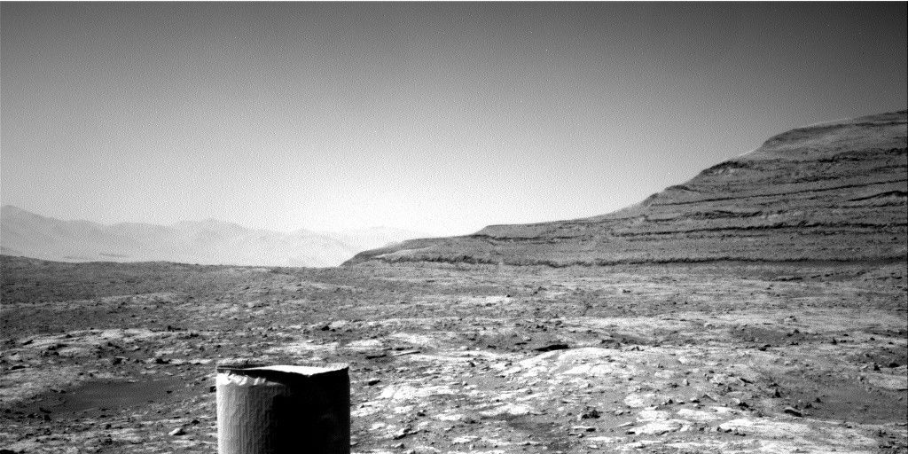
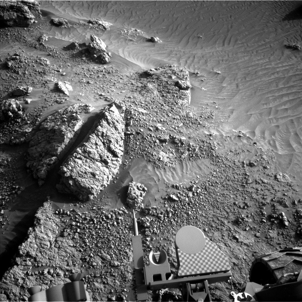
The Sol 1612 drive went well, and there is a nice bedrock block in the arm workspace.
The Sol 1612 drive went well, and there is a nice bedrock block in the arm workspace. We received a bit more data than expected before planning started, but not enough to finalize drive plans and contact science targets. As expected, we received more data during planning, including color images of the arm workspace that were very useful in selecting contact science targets. The late arrival of the necessary data caused delays in the standard uplink planning timeline, but the tactical team did a great job and we have an excellent weekend plan. It's good to see REMS extended blocks back in the plan after the successful software upgrade.
On Sol 1614, ChemCam and Right Mastcam will observe bedrock targets named "Columbia Falls," "Spider Lake," and "Loon Stream." Mastcam will measure dust in the atmosphere and acquire a 3x3 mosaic of a layered block dubbed "Aroostook River." Late that afternoon, MAHLI will image the REMS UV sensor and acquire mosaics of another bedrock target named "Chain Lakes" and of Spider Lake. The APXS will then measure the chemistry of the Spider Lake area at overlapping locations to look for spatial variations in composition. Early the next morning, Mastcam will again measure dust in the atmosphere and Navcam will search for clouds. Later on Sol 1615, more drill diagnostic tests are planned, then the APXS will be placed on its calibration target for an overnight integration. A short drive to the dark dunes south of the rover is planned on Sol 1616, followed by unstowing the arm and post-drive imaging. Another busy (sometimes hectic) day for me as SOWG Chair!
by Ken Herkenhoff
Dates of planned rover activities described in these reports are subject to change due to a variety of factors related to the Martian environment, communication relays and rover status.
Written by Ken Herkenhoff, Planetary Geologist at USGS Astrogeology Science Center


