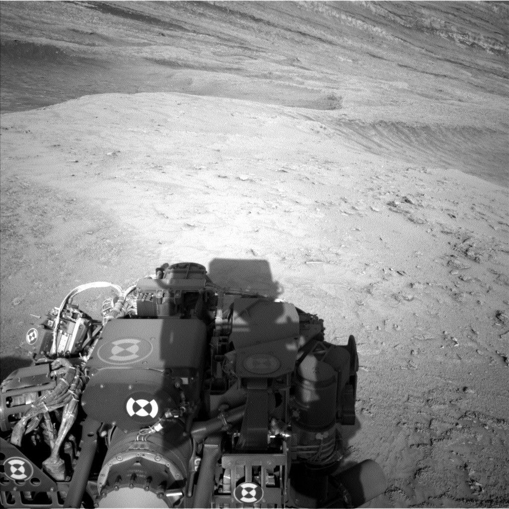
As this is my first time contributing to the MSL blog, I'd like to quickly introduce myself to you all. I'm Mark, an MSL Participating Scientist and a faculty member at Northern Arizona University, trained in geochemistry, spectroscopy, and remote sensing. I'm excited to help walk you all through the daily endeavors of this wonderful rover and mission!
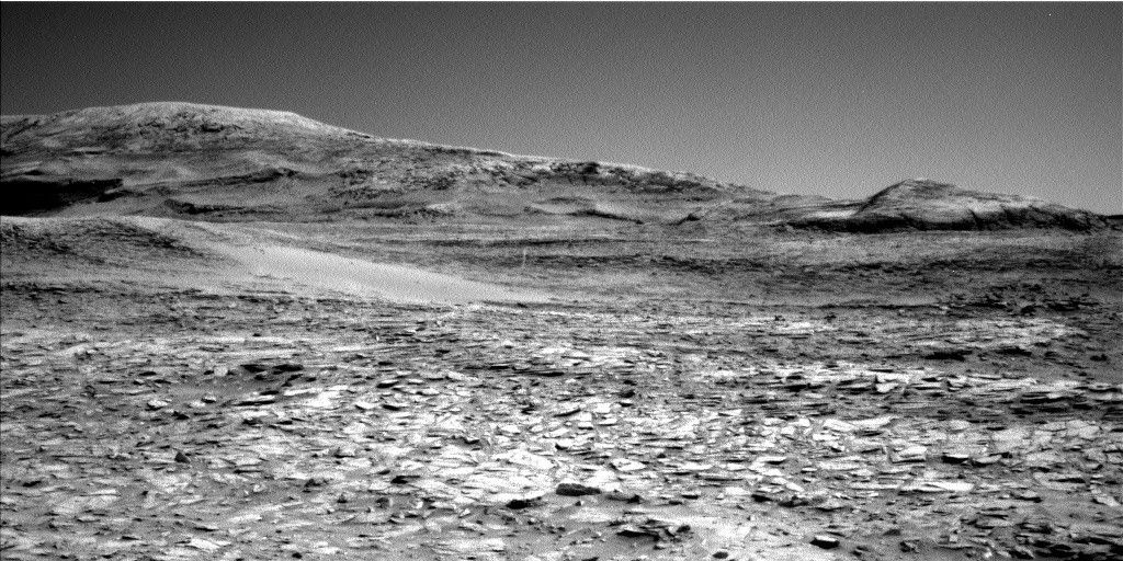
Curiosity continues to make progress along its planned ascent route up Mt. Sharp, and is quickly approaching the hematite-bearing Vera Rubin Ridge. As a refresher, Vera Rubin Ridge is a high-standing unit that runs parallel to and along the eastern side of the Bagnold Dunes. From orbit, Vera Rubin Ridge has been shown to exhibit signatures of hematite, an oxidized iron phase whose presence can help us to better understand the environmental conditions present when this mineral assemblage formed.
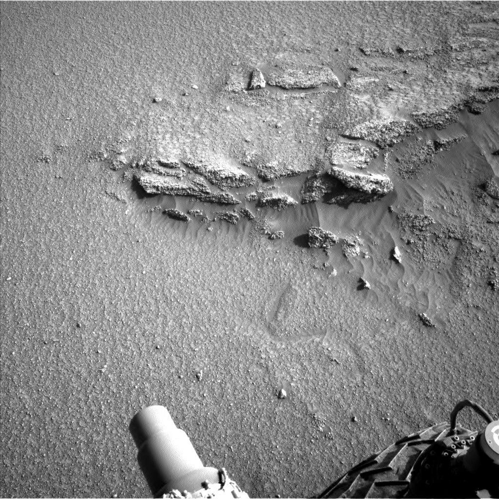
Over the weekend, Curiosity drove approximately 32 meters and parked in front of a large rocky slab (about the size of a large dining room table) with smaller rocky patches nearby, perfect for our continued documentation of the local bedrock. This slab will be extensively imaged using Mastcam. In addition to imaging, three rocky targets will be chemically analyzed by the rover. "Pierce Head" represents an unremarkable piece of the Murray formation, and will be investigated using ChemCam and APXS (and MAHLI context imaging) to fully characterize the bedrock chemistry at this location. Alternatively, "Mosely Point" and "Leland Point" appear darker in tone and exhibit slightly rougher and smoother textures, respectively, and will be investigated using only ChemCam.
Following these analyses, Curiosity will set off on another drive over rough terrain to the east, where the rover will document its surroundings using its automated ChemCam targeting capabilities and its suite of cameras. In particular, the rover will turn its cameras to Vera Rubin Ridge for another suite of high resolution color images, which will help to characterize any observed layers, fractures, or geologic contacts. These observations will help the science team to determine how Vera Rubin Ridge formed and its relationship to the other geologic units found within Gale Crater.
Another super interesting observation that will be made during this planning period is an opportunistic nighttime astronomical observation of Mars' smallest moon Deimos, which will be imaged using Mastcam. Even though Deimos is only ~8 miles in diameter, Mastcam's incredible resolution and pointing capabilities make these observations seem routine. Imaging Mars' moons allows scientists to better understand the evolution of their orbits over time.
We are currently in a phase of "restricted planning," where the offset in time between the Earth and Mars prohibits our ability to downlink data with sufficient time to plan on a daily basis. So, the science and engineering teams planned two days' worth of rover activities today. We will reconvene on Wednesday to produce a similar two-day plan, and will do so through next week. Despite this offset, the crafty and efficient science and engineering teams are able to successfully create rover plans that ensure Curiosity is busy as it continues its journey up Mt. Sharp.
Written by Mark Salvatore, Planetary Geologist at University of Michigan


