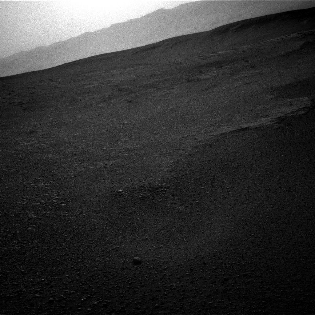
Curiosity has been a bit down lately-in elevation. After exploring the top of Vera Rubin Ridge (VRR) last year, the rover descended into a trough south of the ridge, dropping as much as 15 meters in elevation this spring to explore part of the clay-bearing unit. Curiosity is now back to the highest elevation that it achieved before it left the ridge, about -4140 meters relative to the reference level representing zero elevation on Mars. The image shows the rim of the crater once again visible above Vera Rubin Ridge. Curiosity will continue to climb higher as it explores the rest of the Glen Torridon and then moves on to the sulfate unit and Greenheugh Pediment.
The reference level for Mars elevation is the mean of its areoid, as measured by altimetry and gravity measurements. The pressure at this elevation is very close to the triple point of water, where stability fields of liquid, ice, and vapor come together. In fact, Mars' areoid was at one time based on the elevation where the atmosphere was at the triple point of water. However, it is easier to define this elevation from gravity and altimetry data.
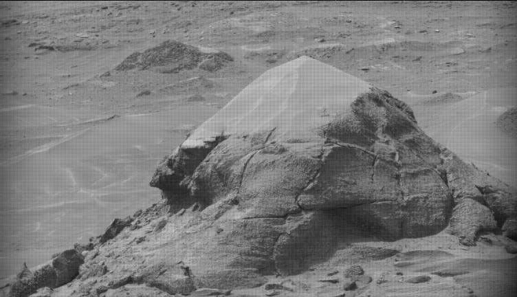
Today the rover team planned activities for the rover over the weekend. Curiosity is wrapping up activities at the base of "Harlaw Rise" and will then drive further up the rise. On the first sol of the weekend plan the rover will mostly nap to recharge batteries. Some Hazcam imaging will be done and Mastcam will take some nighttime images. On the second sol, ChemCam will shoot three targets near the rover: "Red_Point" (same block as yestersol's "Tayside" target), "North_Sea," and "Roineva." Mastcam will take a crater rim extinction image. The arm will be deployed for imaging of these gnarly rocks with MAHLI and analysis with APXS. Target names are "Earn" (below yestersol's "Buckie" target) and "Magnus_Bay" (same block as "Tayside" and "Red_Point"). The following morning Navcam will take zenith and superhorizon movies, and Mastcam will take another crater rim extinction image. Later in the day Mastcam will image "Harlaw_Rise" and the "Tayside" and "Buckie" targets. After that it will do some deck monitoring; Navcam will do a 360 degree dust devil survey. The rover will drive 35 meters, which should take it up "Harlaw Rise." Images will be taken to set up for Monday's plan.
Written by Roger Wiens, Geochemist at Los Alamos National Laboratory