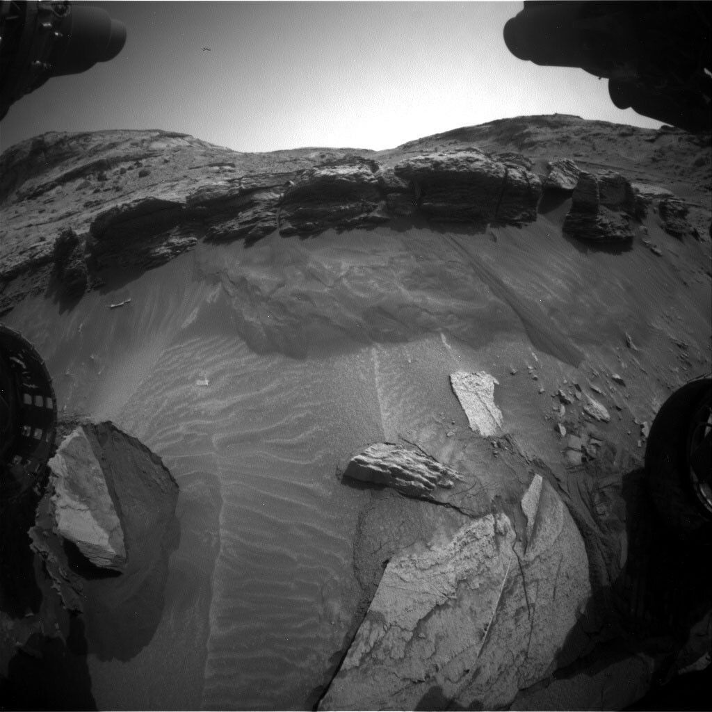
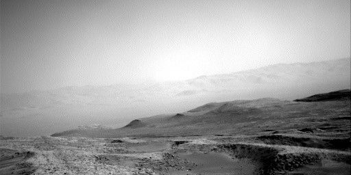
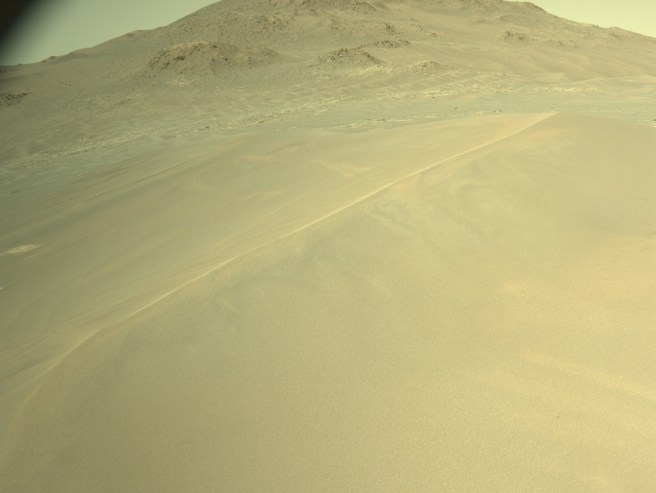
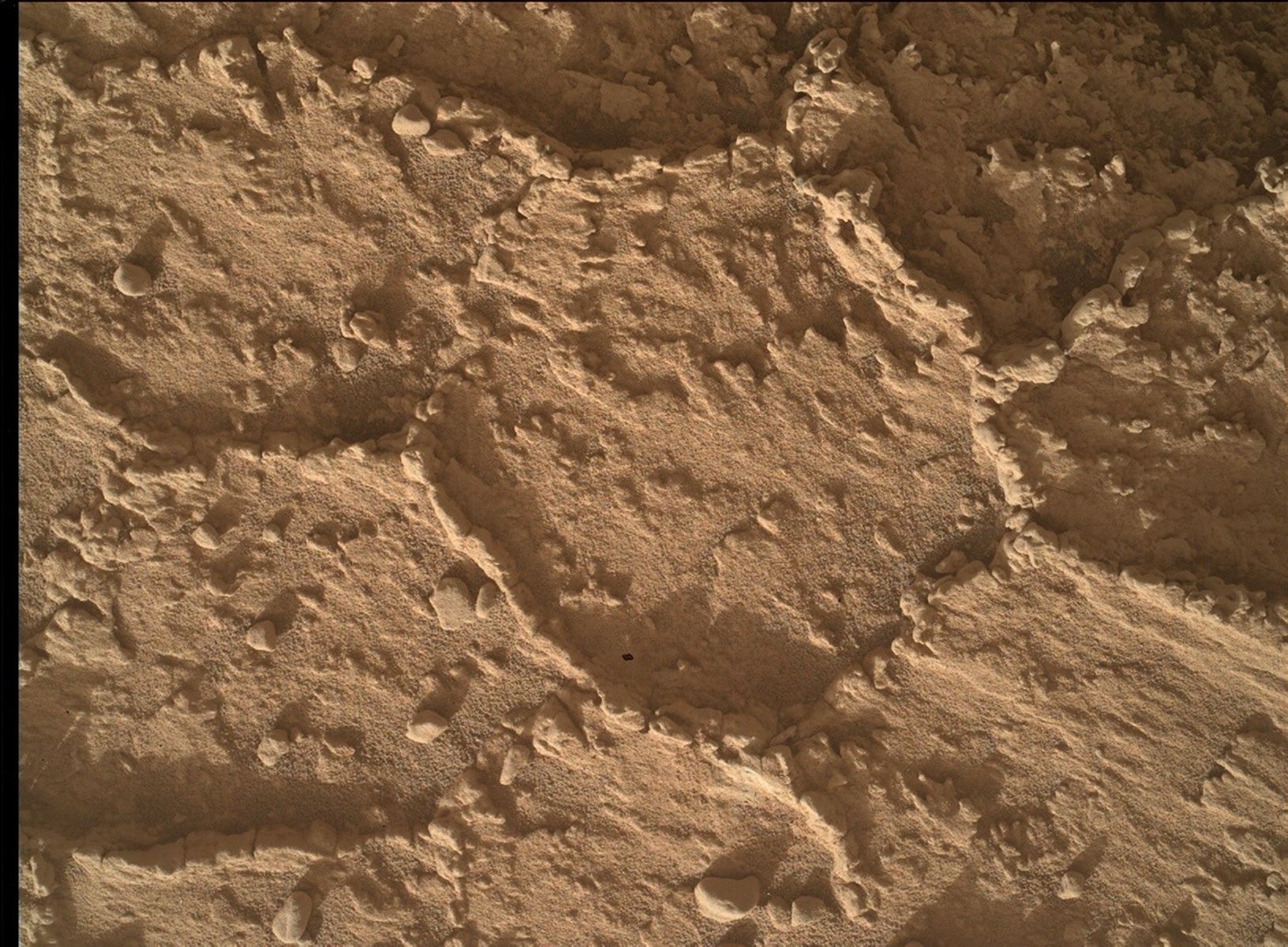
In the last blog my colleague Lucy expressed excited hope for today’s planning of close-up imagery of the rocks we tried to approach at ‘The Prow.’ But, well, sometimes Mars does not read the script. If you ever drove off-road (or in heavy snow, for that matter), you’ll know that the landscape always rules. There is no point trying to fight it, it will win. Our attempt to drive to the outcrop showed that the terrain is tricky, and that sand under the wheels caused slippage which meant we once again ended up with our left front wheel perched on a rock (you can see it in the image above). While we expected it, and factored it into the planning, approaching carefully, keeping the rover safe, hoping our six-wheel drive would give us the upper edge… it proved too difficult. Mars wins. This time. (There is a German proverb, though, that says that the smarter one back off first ...) The image above gives you a good impression why. Therefore, to keep our rover safe, we decided to back off and look out for another place where we could find similar structures in the future, and onto which we can safely deploy MAHLI and APXS. That said, we are not leaving empty handed, because our mast-mounted cameras, Mastcam and the ChemCam remote imager, will have imaged every important inch of the structure, and ChemCam will get chemistry too. Good bye to this section of ‘The Prow,’ but we’ll be looking out for your siblings in the future.
Before we move, there is a lot of science to be done. ChemCam investigates the target ‘Sorowape’ in active mode and takes high-resolution mosaics of the targets ‘Kambaouk’ and ‘Chimanta’ near the rover and of the target ‘Mirador’ in the distance. Mastcam will be busy doing documentation images of the ChemCam active target and do imaging on the targets ‘Toron’ and ‘East Cliffs’ as well as a multispectral investigation on ‘Kambaouk.’
After backing off and reaching a flat area, we will do our regular full MAHLI wheel imaging that we do to keep an eye on our hardware. There will be a Mastcam clast survey image and the post drive imaging from Navcam for planning on Friday. Of course, we also have atmospheric monitoring in the plan and DAN is measuring the water in the rocks beneath the rover, too. MARDI will continue to take an image after the drive, documenting the rocks under the rover. Curiosity will have a busy day at the office while we will very closely inspect all the images we have – and that we will get from this plan, too – to spot a sibling of ‘The Prow.’ It’s a very diverse area, and if you haven’t done so, have a look at all the images that Curiosity took in the past few days, it’s a feast for geologists, and for anyone else who likes to admire the wonderful structures that sedimentology has to offer.
Written by Susanne Schwenzer, Planetary Geologist at The Open University


