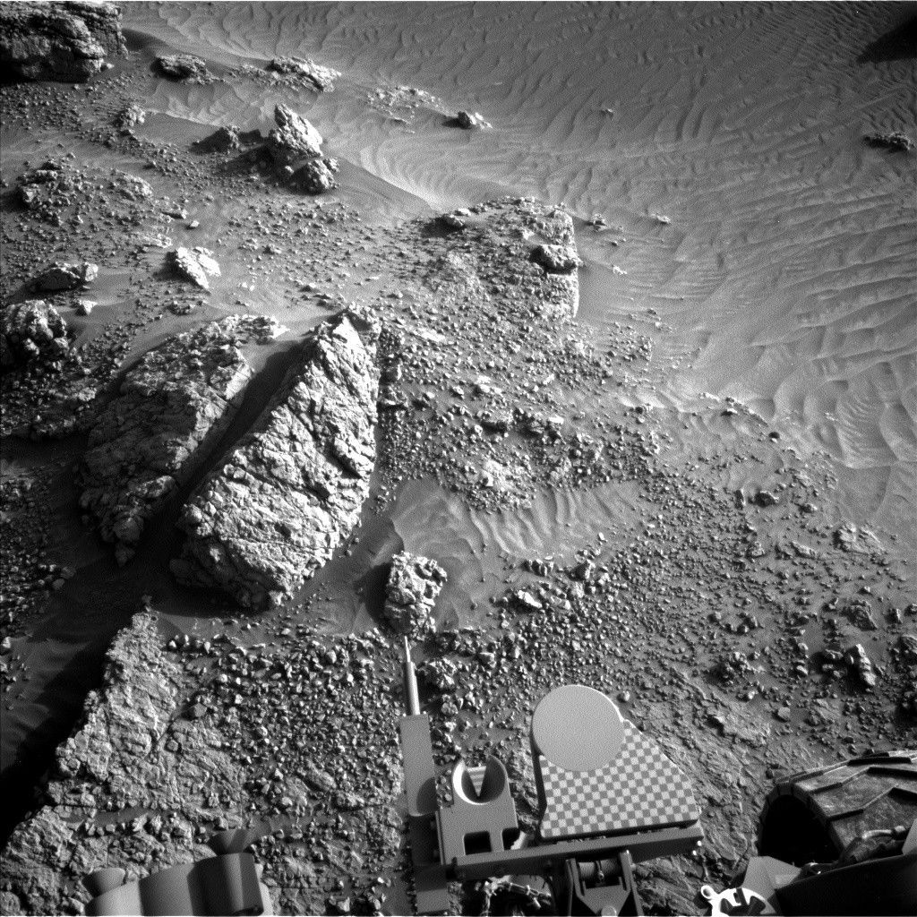
Curiosity is continuing to press on through Paraitepuy Pass with the successful completion of last plan’s drive and another coming up on the first sol of today’s two-sol plan.
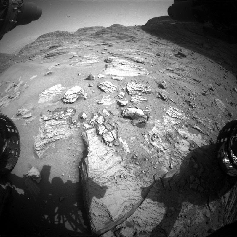
Curiosity is continuing to press on through Paraitepuy Pass with the successful completion of last plan’s drive and another coming up on the first sol of today’s two-sol plan. The terrain continues to be tricky, with lots of sand and rocks, as you can see in the Hazcam image, and the rover planners are working hard to determine the best and safest way forward. In between carefully creeping along, we’re pausing to take in the views – by which I mean do a lot of science!
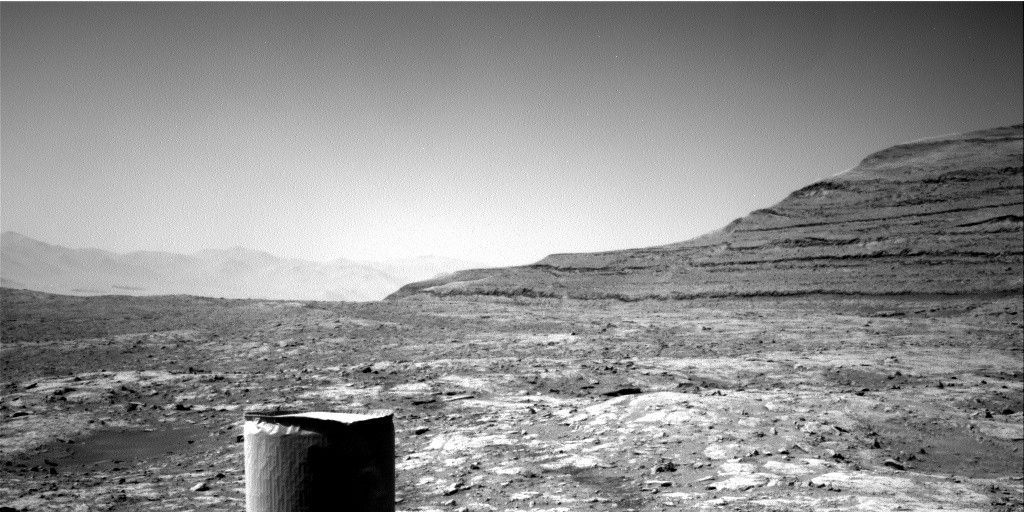
Before we leave our current location, we’ve packed in a whole host of observations. These start with ChemCam on the nearby DRT target ‘Annai,’ and two RMI mosaics looking further afield at the lower part of ‘Kukenan’ (the most distant hill in the Hazcam image) and the marker band near the top of ‘Deepdale.’ Mastcam is also documenting Annai, as well as looking at the side of Deepdale in order to study the processes of its formation. To round out the morning of imaging, MAHLI is getting up close with two targets, Annai and ‘Mirizal.’ We finish up this sol with a drive and post-drive imaging to help find the best path onwards.
Our second sol seems relatively calm in comparison, with a ChemCam aegis and some ENV observations. As always, ENV is keeping tabs on the environment of Gale Crater not only with the REMS and DAN instruments, which maintain their standard monitoring, but also with some observations of dust and clouds. We have a suprahorizon movie, looking just above the horizon for clouds, followed by a line of sight and basic tau to measure atmospheric dust. We are also casting a wide net in hopes of spotting dust devils, with a 360 degree survey and extra-long targeted movie.
Written by Alex Innanen, Atmospheric Scientist at York University


