Suggested Searches

LunaH-Map (Lunar Polar Hydrogen Mapper)

    NASA’s LunaH-Map Mission Ends, Validates Science Instrument Performance

    Several technicians in white smocks, masks and head coverings work around a small briefcase-sized piece of hardware.

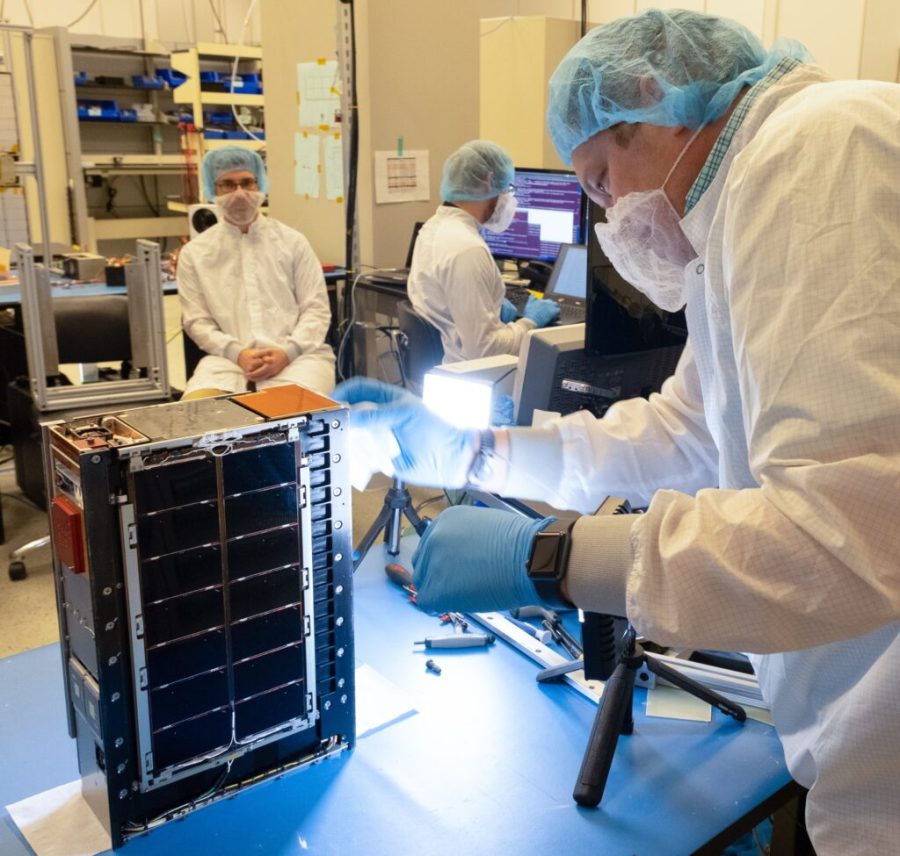
    NASA's LunaH-Map (Lunar Polar Hydrogen Mapper) mission, a briefcase-sized lunar orbiter that launched as a ride share on NASA's Artemis I mission last year, has ceased operations after successfully demonstrating its neutron spectrometer can detect water and ice at the lunar surface. The LunaH-Map CubeSat was designed to map ice deposits across the Moon's South …

    Read Full Post

    NASA’s LunaH-Map Captures Image of Auriga Constellation

    Image shows the constellation Auriga against black space.

    On Nov. 28, NASA's LunaH-Map spacecraft acquired its first star tracker image, showing the constellation Auriga and its two brightest stars, Menkalinan and Mahasim. The LunaH-Map navigation team used these images to test a new type of autonomous optical navigation software that can be run on the spacecraft's flight computer. On Dec. 2, LunaH-Map also …

    Read Full Post

    NASA’s LunaH-Map Post-Launch Update

    After deploying from the Artemis I Space Launch System rocket, NASA's LunaH-Map spacecraft was powered on and communicating with Earth 5 hours and 33 minutes following launch on Nov. 16. Shortly after deployment, the operations team made first radio contact with the spacecraft and transitioned it out of beacon mode. Over the next 24 hours, …

    Read Full Post

    NASA’s Luna-H Map to Study Moon Water

    NASA's Lunar Polar Hydrogen Mapper (LunaH-Map) CubeSat was launched by the Space Launch System (SLS) rocket for the Artemis I mission on Nov. 17. LunaH-Map, developed by Arizona State University and sponsored by NASA's Science Mission Directorate (SMD), will measure the distribution and amount of hydrogen throughout the Moon's South Pole. If successful, the LunaH-Map …

    Read Full Post