


Changing Teeth
Stepanova, Siberia 58.67 N 86.76 E
11:05 pm Siberia local; 12:05 pm next day EST
High 74 F Low 52 F Scattered Rain
Once again I’ve had to spend a day in camp. I have gotten so frustrated and disgusted with being sick, that I’ve gone to the medical kit and started taking amoxicillin. I’ve had two doses and three days of rest, and I am feeling better. But not quite fit enough to tromp around the woods. Not yet. I’m sure I will be back in the field very soon.
I had a great plan to make myself useful in camp. When we go to the field, we measure all the trees that are over 6 cm in diameter. But we also need to estimate the biomass of the smaller trees. We have some ways to estimate that, but I thought that since I was hanging around, that I could use a protocol to get actual measurements of local biomass of the small sizes.
To do this, one goes and cuts down up to 30 small trees of each diameter class. That would be 0-2 cm, 2-4 cm, and 4-6 cm. Then we tie them together and weigh them. This can be important, because some trees are not very dense and have a relatively low biomass to those which grown more densely. Lower density means a lower weight. There are ways to estimate this, but actual measurements are most helpful. My plan was well received by everyone, and I looked forward to being useful.
There was just one small little problem, however. We did not bring a scale. Slava went into town, but couldn’t find a scale anywhere. There was no way to go forward with these measurements. So it was another day of rest.
Today the guys on the motorcycle were back, and they were more talkative. They said that they had good luck catching a carp-like fish on the far side of the river. That’s the same fish that Slava had brought back from the store a few days ago. Now we know where our meal began – this very river!
They also said that we would not catch much pike right now. They are changing their teeth, they said, and pike will not bite when they do that. They said that by the full moon they will have all new teeth, and they will be very hungry and then we can catch very big pike from the Ket.
I had never heard of such a thing – pike changing teeth. I’ve checked around and it seems to be true. Northern Pike do shed their teeth, but they don’t usually do it all at one time. They tend to shed old teeth and grow new ones around the peak fishing season, when the water is warmest, which usually occurs sometime in August. When they are shedding, their old teeth start to fall out and their mouth develops small swellings where the new teeth are erupting. Their mouths are sore, so they don’t like to bite.
I also learned that pike are adapted to very cold water and are quite sensitive to temperature change. As water temperature increases, the tooth-shedding cycle becomes more rapid. They also respond to warm temperatures by refusing to eat – regardless of the state of their teeth. Russia has had a very hot summer, which has warmed up some lakes and rivers. I wonder if it is more the teeth, or the warmth, that is bothering our pike?
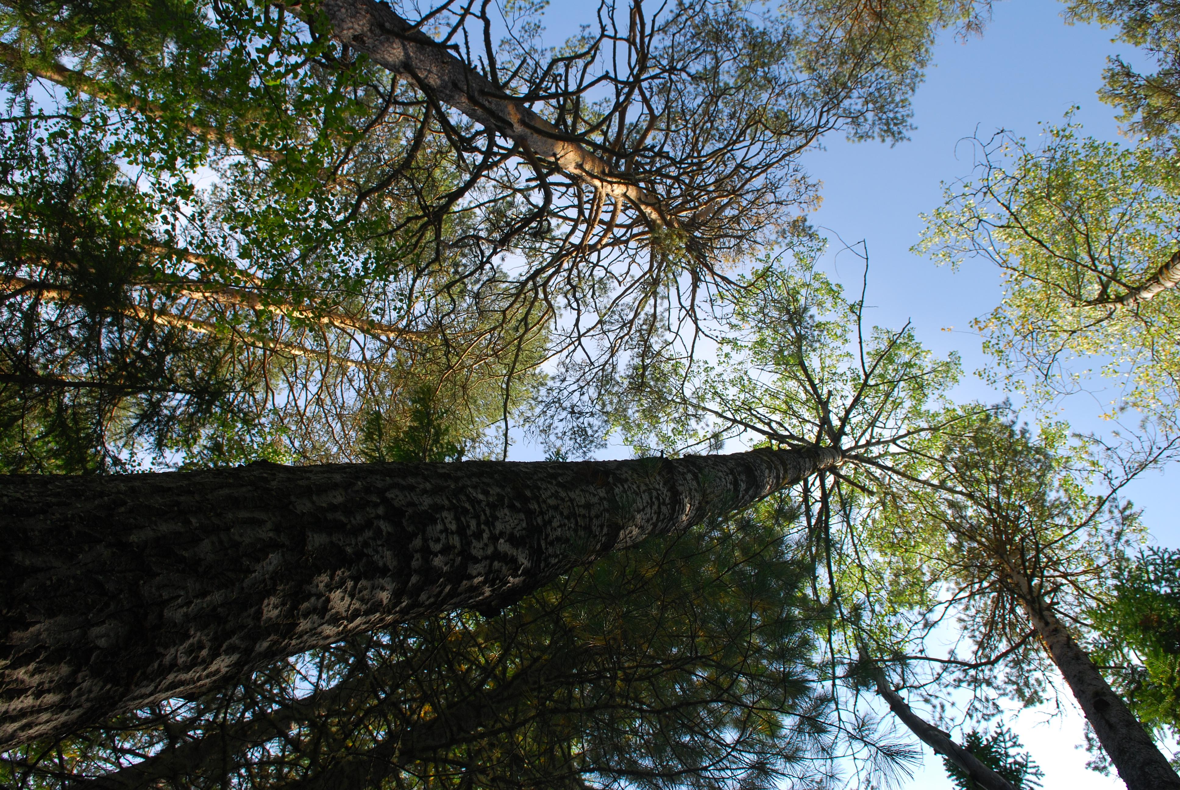
When the crew returned from the field, they had completed 16 plots. They said the forest was extremely dense, and again they had a lot of very large aspen. Marsha said that some of the plots were in forest that had never been visited before by anyone. They were extremely difficult to reach, with no sign of any human intervention – a true rarity in our experience here. But our satellites have been there – at least overhead – and we have the data to prove it. It was fabulous that they could get in the area and get those measurements.
I should explain that we have GLAS footprints from many overflights of the ICESat satellite. ICESat stands for Ice, Cloud and land Elevation Satellite. It was a mission for measuring ice sheet mass, cloud and aerosol heights as well as vegetation and land topography. It flew from 2003 until the instruments shut down in early 2010. It flew the GLAS instrument, or the Geoscience Laser Altimeter System, which was a LIDAR (LIght Detection And Ranging) system. LIDAR measures properties of scattered light to collect various information about a distant target. It is this data, in waveform, that we use to understand the forest.
During its flight, ICESat passed over the same area about every 91 days, measuring 70 m footprints about 170 m apart. In this area, we have multiple tracks over multiple years. Most of the measurements were taken in the 2003 – 2008 range, and that creates a little bit of a problem, because it is now 2010. The forests have changed since the measurements were taken, some more than others. We have mathematical formulas to correct for anticipated forest change over the years, so today’s data is still valuable for us, even on 2003 data.
Right now, there are still satellites that are measuring these forests. There are instruments like Landsat, built to view the world’s landscape, and MODIS, the Moderate Resolution Imaging System, flying. These give us a two-dimensional view of the vegetation. However, in order to accurately measure biomass, we really need to be able to see the third dimension – height. Right now, there is no viable instrument that will do that for us. We need one, very badly, in order to gather crucial information on biomass that is so important for decision making.
We are working to create new and better instruments. They will be put aboard DenDynI, the Deformation, Ecosystem, Structure and Dynamics of Ice satellite. It will have five times as many beams as ICESat, and, if it is built as planned, will give a more accurate measurement of the forest that ICESat could do. It is supposed to fly in 2016. Every measurement we make in this forest will be used to analyze data to create new, more accurate algorithms, so that the instruments on DesDynI will be the best possible. They will take us to the third dimension, accurately measuring the height of vegetation from space.
Height is the missing piece for biomass studies. With the other instruments, you get enough data to make a very gross estimate of forest biomass, but without a height measurement, it can only be a guess. It can’t be accurate. We hope with a better instrument, we will be able to close the carbon budget.
What do I mean by that? Well, we know there is only so much carbon in the world. We have a pretty good idea of atmospheric carbon. We also have a pretty good idea of how much is taken up by the ocean. We can measure how much carbon people put into the atmosphere from burning fossil fuels and other things. But what we don’t know is how much carbon is put into the atmosphere from land cover change, such as burning or logging. We also do not know how much is taken up by the vegetative biome. Plants use photosynthesis to absorb carbon and sequester it, and that is a good thing for keeping climate steady. By getting accurate measurements of the biomass of the forest, we can begin to get a realistic view of the carbon stored here.
So that’s the carbon budget – the amount of carbon going into the atmosphere should be balanced with the amount stored. The thing is, we don’t know the storage capacity of the vegetation, especially the forests. That’s what we need to know.
Closing the carbon budget will allow for sound policy decisions. The world’s forests are a powerful provider of carbon sequestration. They remove carbon from the atmosphere, storing it in roots and trunks. We know people release a lot of carbon. If you can manage the forests well, then they can take up this carbon; the forests can keep the balance. Policy makers don’t need a way to figure out how to get rid of the excess carbon we are producing, such as storing it in the ocean, as has been discussed. All we need to do is to manage the forests, and they will absorb the excess carbon for us.
But one can’t manage the forests or manage the carbon budget without accurate information. So that’s where science comes in – we need good instruments and we need accurate data. That’s why better instruments are so important, and why we are here, working so hard. It’s a job worth doing, I think.
