CASCADES is an international, multidisciplinary expedition bringing together glaciologists, marine-mammal observers, microbiologists, geologists, and biogeochemists.
CASCADES: A Journey Along Greenland’s Coast Where Ocean Meets Ice





















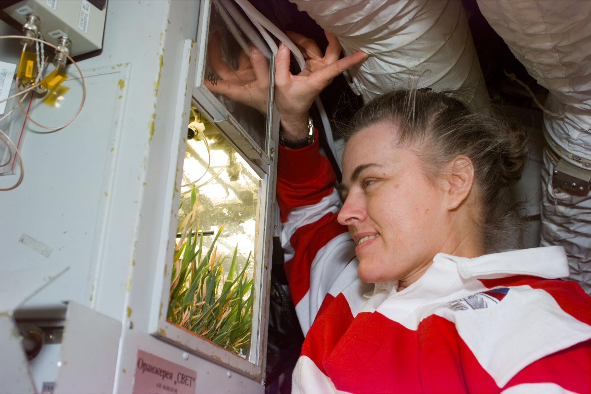



CASCADES is an international, multidisciplinary expedition bringing together glaciologists, marine-mammal observers, microbiologists, geologists, and biogeochemists.

Laying groundwork for using airborne remote sensing to better understand the characteristics of forest species diversity.
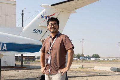
NASA’s FireSense Technology program goes into the field to test our newest instruments that could help with wildland fire management.

The Gulf of Maine North Atlantic Time Series, or GNATS, produces data that is used to validate NASA’s suite of ocean color satellites.
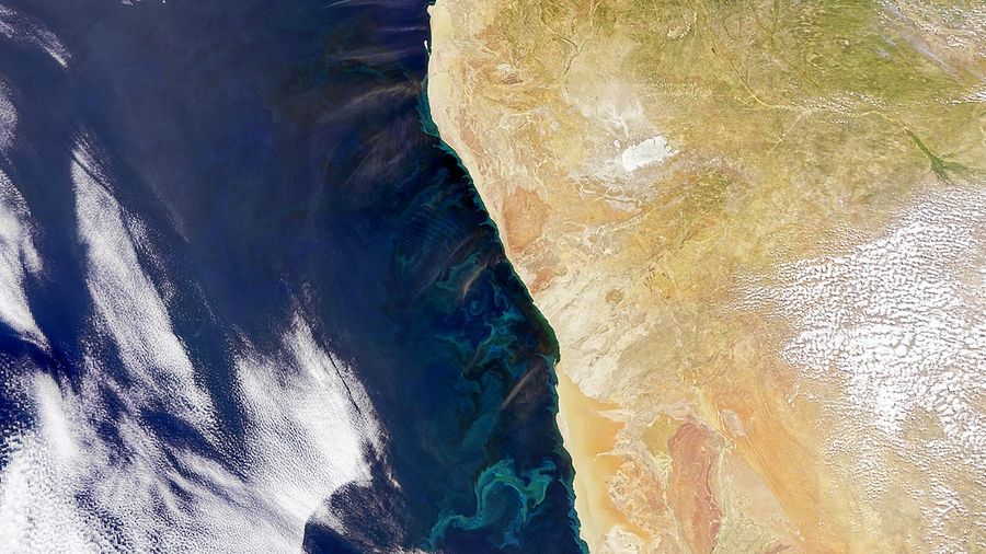
The primary goal of this collaboration was to support and validate science data products from NASA's recently launched Plankton, Aerosol, Cloud, ocean Ecosystem (PACE) satellite mission

A dozen students participating in NASA’s 2026 Student Airborne Research Program collected data about the atmosphere, using a weather balloon that measures ozone concentrations as it rises.
48 undergraduate students from across the country are gathered to participate in a once-in-a-lifetime experience of hands-on science and data-gathering with NASA scientists and university mentors.

Data collected from the ground, aircraft, and communities are helping scientists piece together how carbon moves across the state's diverse wetland landscapes.
The waters and ocean sediments offshore of Uruguay are highly understudied, making it a unique location for a PACE PVST field campaign and an exciting opportunity to work alongside SPARC scientists.