Wildlife
Filters

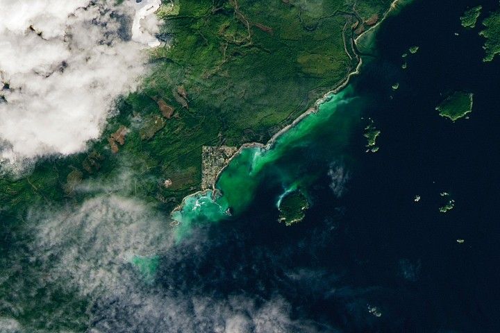
The activity of herring around Vancouver Island in British Columbia brightened coastal waters enough to be detectable from space.

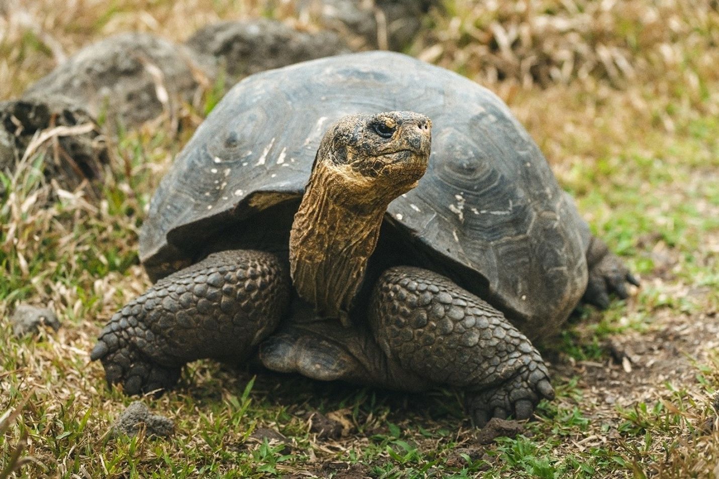
Giant tortoises are returning to Floreana Island after more than 150 years, guided by NASA data that shows suitable areas…

Satellites are helping land managers track ecological shifts as reserves reconnect and landscapes return to a more natural state.
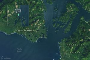
A late-season herring spawn in a British Columbia inlet created a vibrant patch of turquoise water.
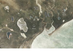
Satellite imagery and local data helped researchers assess how landscape features, such as watering holes and vegetation, influence elephant movement.
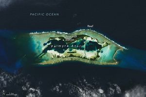
The remote atoll in the tropical Pacific Ocean is a haven for animals of all kinds, though scientists find that…

Using Landsat satellite imagery, researchers have mapped the locations of prime rail habitat to help land managers prioritize management actions…
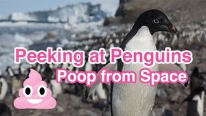
Did you know that satellites can be used to find penguin populations by looking at what they leave behind? EO…
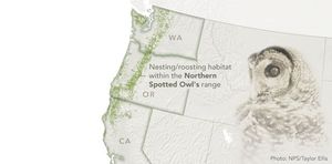
Maps of forest cover type show where the composition and structure of the forest is sufficient for the threatened species…