Natural Disasters
Filters

The blaze burned more than 150 square miles and swept through parts of a ski resort.
With the North American fire season underway, and a record number of acres already burned nationwide, NASA’s Plankton, Aerosol, Cloud,…
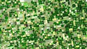
NASA develops technology and missions to observe agricultural landscapes, enhancing food security, stabilizing markets, and supporting productive farming.

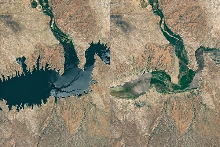
Drought and water releases drained the Arizona reservoir to levels that have led to widespread fish deaths.
Data from a NASA campaign in Panama and Peru will help communities prepare for tropical floods in cloud-covered areas, improve…

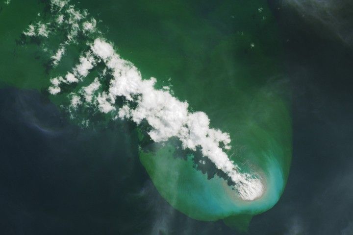
Buoyant volcanic rock fragments from an underwater eruption drifted across the Bismarck Sea and choked island coasts.

In fire-prone ecosystems in Australia's Northern Territory, prescribed burns are lit to minimize the severity of fires later in the…
.png?fit=clip&crop=faces%2Cfocalpoint&w=300)
Over the last decade, wildfires have worsened ground-level ozone pollution across much of the contiguous United States, creating unhealthy air…

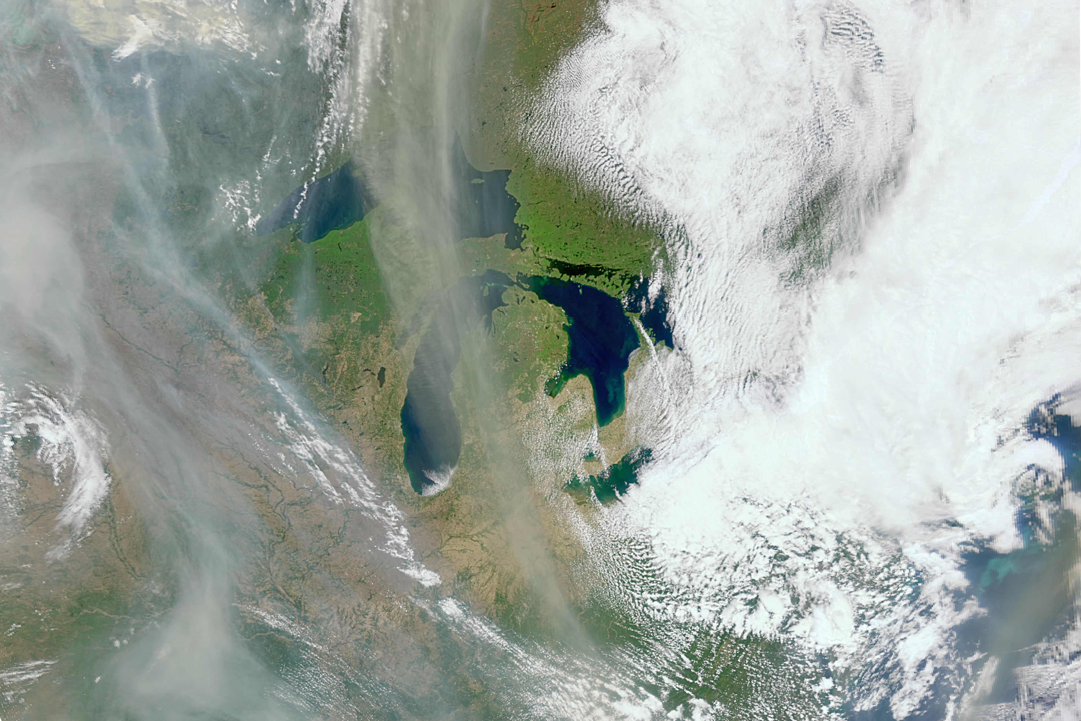
The sprawling storm promised to deliver torrential rain across a wide swath of southern Japan.