Chesapeake Water Watch
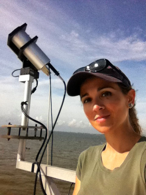
The Chesapeake Bay, our nation's largest estuary and home to Maryland’s famous blue crabs, faces threats from runoff, pesticides, population growth, overharvesting, and climate change. Monitoring the quality of the bay’s water helps guide actions to protect and preserve this ecosystem. The Chesapeake Water Watch project asks you to help monitor the bay using a free smartphone app or by collecting water samples. Project researchers will use your measurements to help "train" NASA satellites to fill in the complete water quality picture of this large and complex estuary.
project task
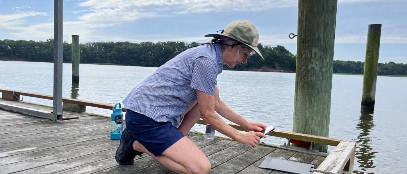
Collecting data with a smartphone
DIVISION
Earth Science
WHERE
Outside, Chesapeake Bay (Maryland, Virginia or Delaware)
LAUNCHED
2022
What you'll do
- Use a free smartphone app to collect and report water clarity data.
- Collect water samples for in-lab testing.
- Explore data taken by volunteers plus the relevant satellite data in real time.
Requirements
- Time: 5-10 minutes
- Equipment:
- Smartphone
- Access to a dock or a boat that can take you 100 feet from the shore of the Chesapeake Bay.
- Knowledge: None. Training provided.
Get started!
- Go to the project website.
- Visit the Get Involved page to sign up for a virtual or in-person training session.
- Pick the best time and day to make your observations. The best times are when the sun is high in the sky and one of the key NASA satellites is flying overhead.
- Get started making and reporting water quality observations!
Learn More
To receive project announcements, results, and training opportunities, sign up the project’s mailing list.
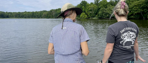
Get to know the people of Chesapeake Water Watch