In August 2016, a destructive brush fire burned in Cajon Pass and threatened several communities in San Bernardino, California.
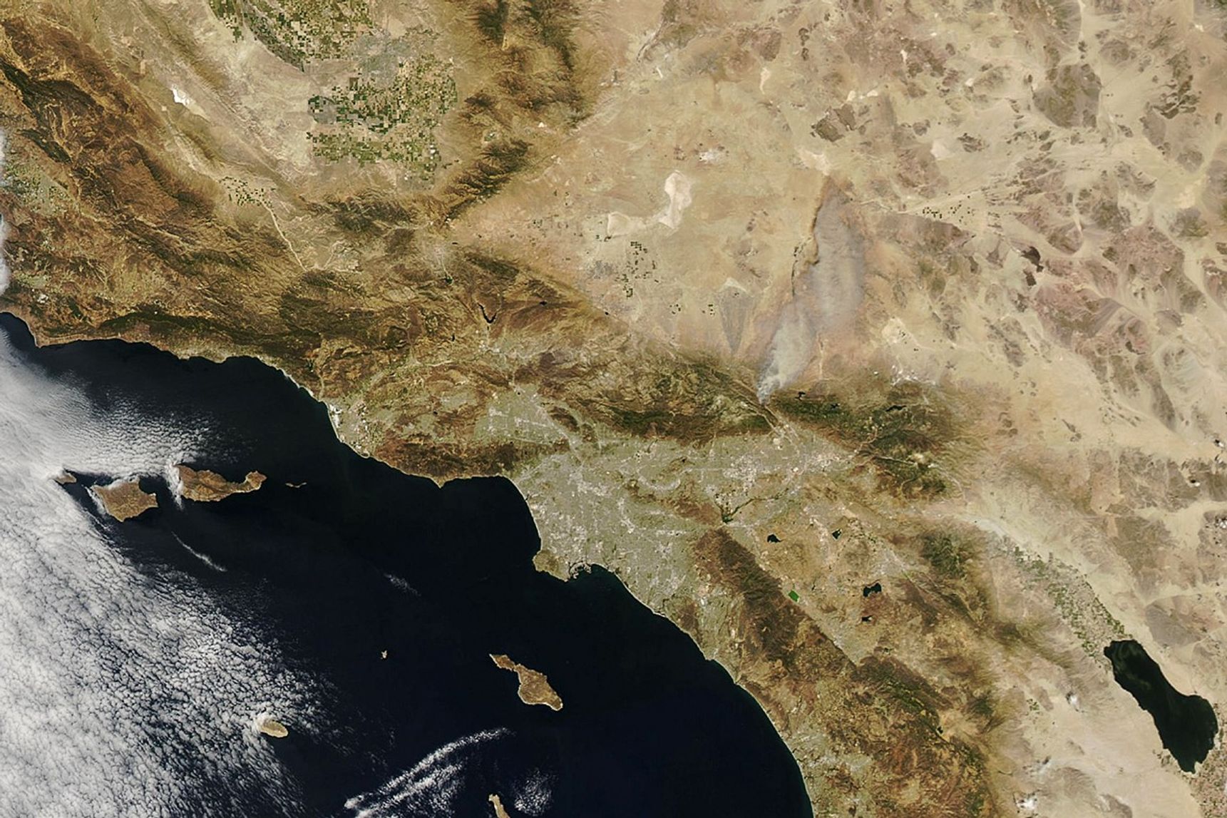
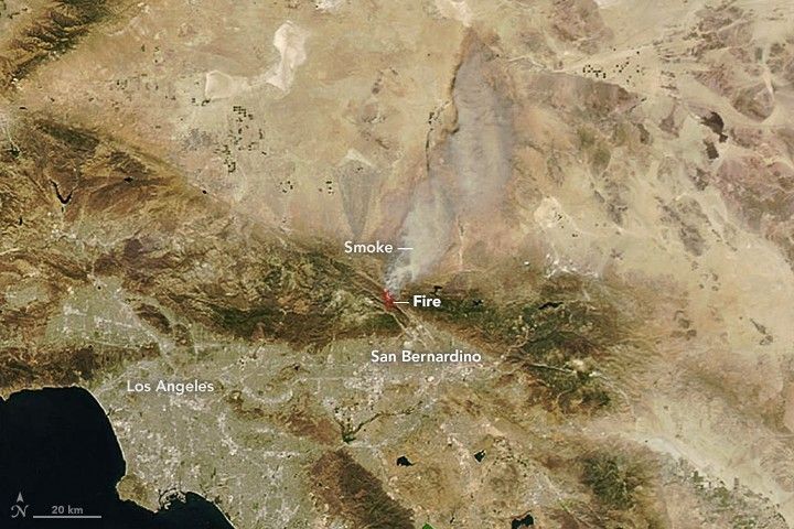
On August 16, 2016, the Moderate Resolution Imaging Spectroradiometer (MODIS) on the Aqua satellite captured this image of the Blue Cut fire. Red outlines indicate hot spots where MODIS detected the warm surface temperatures associated with fires. Thick plumes of smoke were blowing to the northeast.
According to InciWeb, the fire had burned 30,000 acres as of August 17, 2016. The unpredictable blaze has forced more than 82,000 people to evacuate their homes. Gusty winds, hot weather, and low humidity have made the fire particularly fast-moving and difficult for firefighters to contain.
References & Resources
- Accuweather (2016, August 17) 80,000 forced to evacuate as Blue Cut fire rages east of Los Angeles. Accessed August 17, 2016
- The Los Angeles Times (2016, August 17) Homes burn, thousands flee as out-of-control brush fire chars 30,000 acres in Cajon Pass. Accessed August 17, 2016
- Inciweb (2016, August 17) Bluecut fire. Accessed August 17, 2016.
NASA Earth Observatory image by Joshua Stevens, using data from the Land Atmosphere Near real-time Capability for EOS (LANCE). Caption by Adam Voiland.