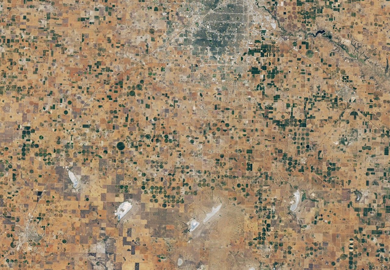
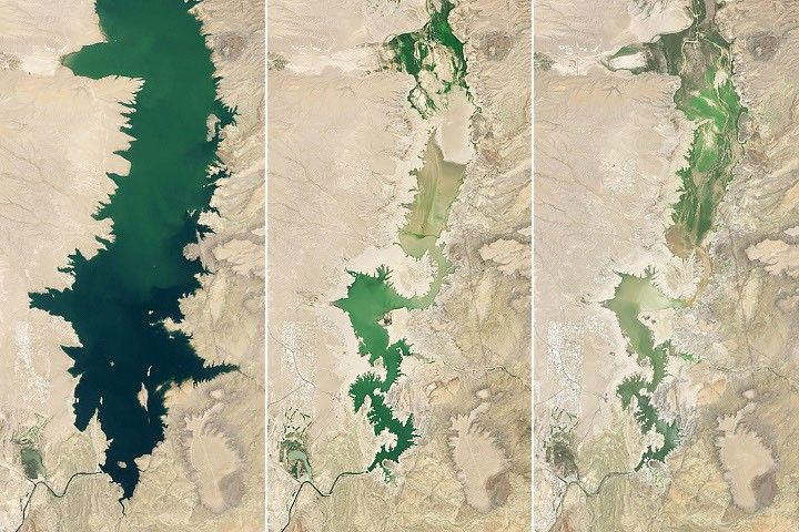
It may not be sudden and dramatic like most natural disasters, but drought is just as devastating. Drought withers crops and shrinks rivers, lakes, and reservoirs, affecting agriculture, transportation, recreation and tourism, forestry, and energy production. The National Drought Mitigation Center estimates that damage inflicted by drought amounts to $6-8 billion per year in the United States. It is the most costly natural hazard.
In the summer of 2009, the region of the United States most affected by drought was southern and central Texas. The U.S. Drought Monitor classified the drought in Texas as exceptional or extreme, the two highest classifications for drought intensity. According to the Wall Street Journal, the drought had caused $3.6 billion in crop and livestock losses as of July 28.
This image shows the impact of drought on vegetation in southern Texas. The image is a vegetation index, which depicts the relative health of plants in 2009 compared to average conditions observed between 2000 and 2008. The image was made with data collected by the Moderate Resolution Imaging Spectroradiometer (MODIS) flying on NASA’s Terra satellite. Areas in which plants were growing less than average are brown, while average conditions are cream colored, and better-than-average conditions are green.
Most of Texas is brown in this image, revealing the negative impact drought had on plants. Missing data along the coastline is gray; clouds covered this region during most or all of the satellite overpasses during the observation period. While the clouds may have brought some rain, drought conditions still prevailed, said the U.S. Drought Monitor.
Unusually high temperatures have increased the impact of the intense drought, said the Wall Street Journal. Many cities, including Houston, Dallas, Austin, and San Antonio, implemented water restrictions as water levels in reservoirs and aquifers dropped.
References & Resources
- Benning, Tom. (2009, July 28). Texas scorched by worst drought in 50 years. Wall Street Journal. Accessed August 11, 2009.
- U.S. Drought Monitor. (2009, August 4). National Drought Summary—August 4, 2009. Accessed August 11, 2009.
- U.S. Drought Monitor. (2006). Planning for Drought. Accessed August 11, 2009.
NASA image created by Jesse Allen, Earth Observatory, using data provided by Inbal Reshef, Global Agricultural Monitoring Project . Caption by Holli Riebeek.