


July 21, 2010
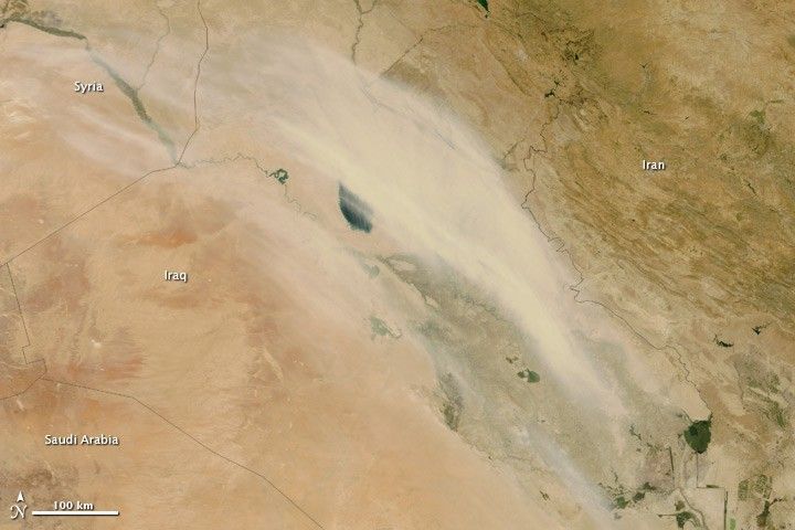
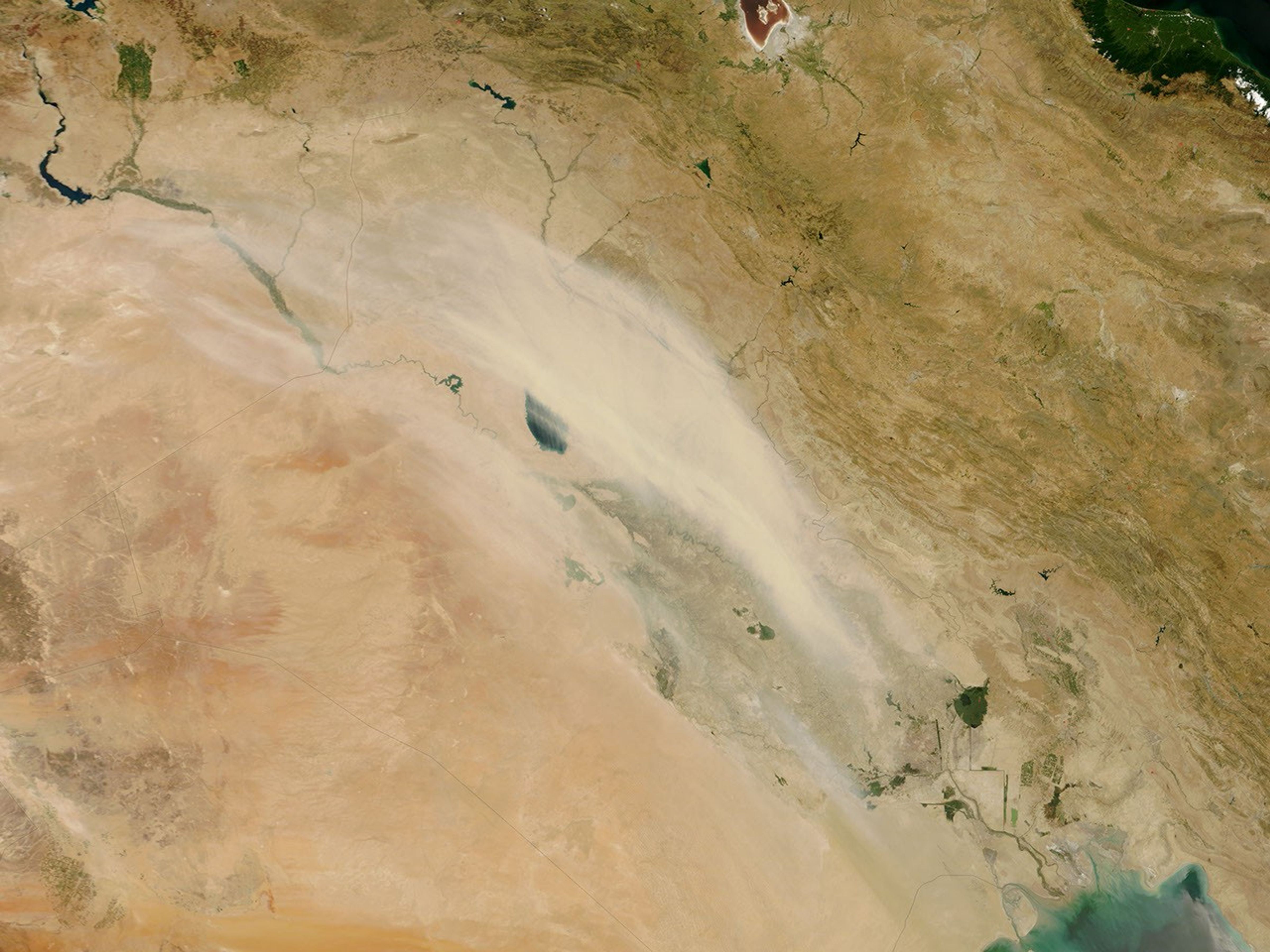
July 21, 2010, turned out to be a dusty day in parts of Iraq, including Baghdad. A long plume of dust extends down the length of the country in this photo-like image captured by the Moderate Resolution Imaging Spectroradiometer (MODIS) on NASA’s Terra satellite. The pale dust plume covers the brown-green web of plant-covered lands and wetlands that span the area between the Tigris and Euphrates Rivers. A steady west-blowing wind generated the dust storm.
The large image is the highest-resolution version of the image. The image is available in additional resolutions from the MODIS Rapid Response Team.
References & Resources
- Weather Underground. (2010, July 21). History for Baghdad, Iraq. Accessed July 21, 2010.
NASA image courtesy Jeff Schmaltz, MODIS Rapid Response Team at NASA GSFC. Caption by Holli Riebeek.


