Suggested Searches

1 min read

Earth at the Turn of the Century

Earth at the Turn of the Century

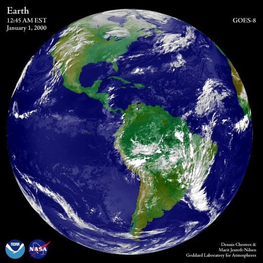
The first full-disk (hemispheric) image of the Earth after the turn of the century on the East Coast of the U.S. was aquired by a NOAA Geostationary Operational Environmental Satellite—GOES-8— at 12:45 AM Eastern Standard Time, January 1, 2000. For more high-resolution color images of the earth, see: http://rsd.gsfc.nasa.gov/goes/test/goes.fulldisk.html

References & Resources

Image courtesy GOES project
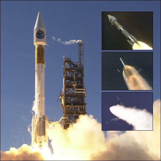
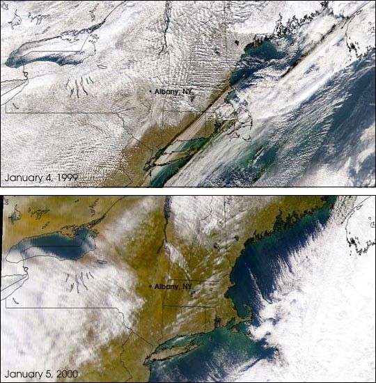
None

You may also be interested in:

Stay up-to-date with the latest content from NASA as we explore the universe and discover more about our home planet.

A Moonlit Earth as Seen From Artemis II
4 min read

An astronaut’s photo, taken en route to the Moon, reveals our planet and its place in space in a novel…

Article
Earthset From the Lunar Far Side
2 min read

The crew of NASA’s Artemis II mission captured extraordinary images of our home planet during their journey around the far…

Article
June 2026 Satellite Puzzler
2 min read

Your challenge is to tell us the location of the satellite image and why it is interesting.

Article