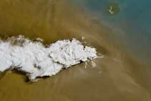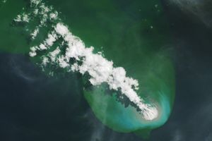






















Ash rained down on Saipan, the main island in the chain of islands that make up the Northern Mariana Islands, and its neighbor Tinian on April 6, 2005. The sky over the islands darkened when the Anatahan volcano exploded late on April 5, and nearly 12 hours later, when the Moderate Resolution Imaging Spectroradiometer (MODIS) on NASA’s Aqua satellite captured this image, the islands were still completely obscured by a brown cloud of ash. No one was injured in the eruption, but residents have been warned to remain indoors and avoid drinking ash-contaminated water. The fourteen islands of the Northern Mariana Islands, including Anatahan, form a U.S. territory. Sitting 320 kilometers south of the volcano, Guam (a separately administered U.S. Territory) does not appear to have been affected by the ash.
The Anatahan volcano itself is actually two volcanoes with overlapping summit calderas. The volcano forms the tiny island of Anatahan, which measures 9 kilometers long by 3 kilometers wide. The larger of the two peaks rises 788 meters from the surface of the sea, while the smaller peak is just 68 meters above sea level. The volcano’s first recorded eruption was in May 2003. The April 5 eruption is the largest the volcano has produced since May 2003.
References & Resources
NASA image courtesy Liam Gumley, University of Wisconsin-Madison, made from data provided by NOAA/NESDIS.