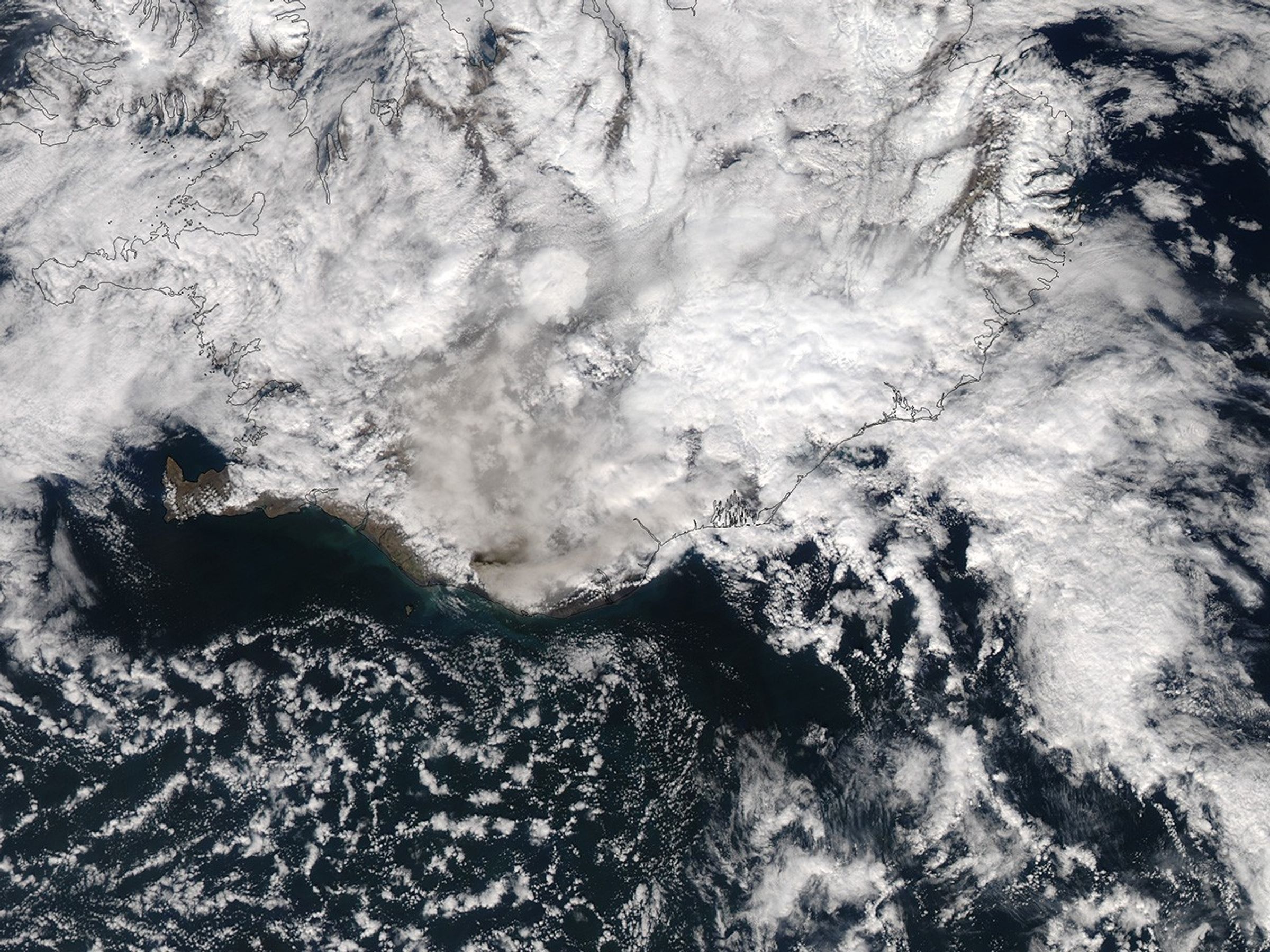
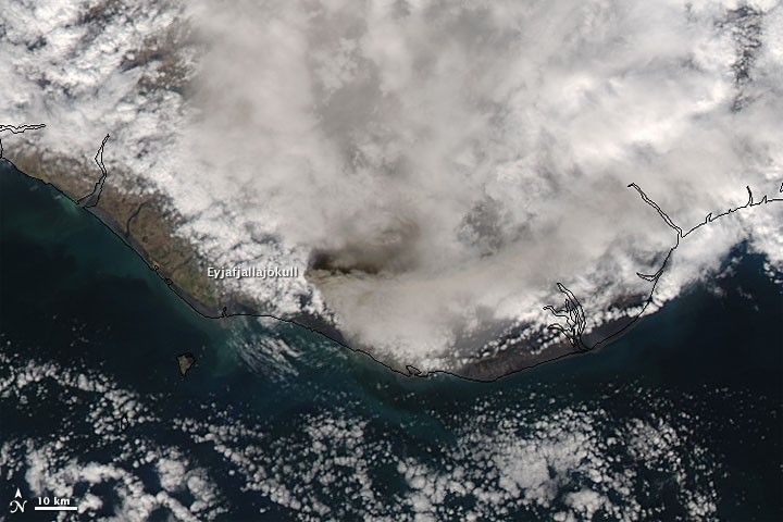
Iceland’s Eyjafjallajökull Volcano continued emitting ash on May 17, 2010. As the Moderate Resolution Imaging Spectroradiometer (MODIS) on NASA’s Aqua satellite passed overhead and acquired this natural-color image, the volcano sent an ash plume toward the east, roughly mimicking the southern Iceland coastline. Most intense near the summit, the faint brown volcanic plume gradually thins and blends with a mixture of older ash plumes and water vapor over southern Iceland.
On May 16, 2010, the Iceland Meteorological Office reported that Eyjafjallajökull’s plume reached a height of 7 to 9 kilometers (24,000 to 30,000 feet), blowing southeast and east-southeast. Ashfall had been observed southeast of the volcano’s summit. More than 150 lightning strikes had been recorded above the volcano between May 15 and 16. As it had in earlier bulletins, the Iceland Meteorological Office warned that the volcano gave no indication that its eruptive activity was slowing.
References & Resources
- Iceland Meteorological Office and Institute of Earth Sciences, University of Iceland. (2010, May 16). Eruption in Eyjafjallajökull status report: 17:00 GMT, 16 May 2010. Accessed May 17, 2010.
NASA image by Jeff Schmaltz, MODIS Rapid Response Team at NASA GSFC. Caption by Michon Scott.