Suggested Searches

1 min read

Fires in Mexico and Central America

Instruments:
Topics:
Fires in Mexico and Central America
March 1, 2003

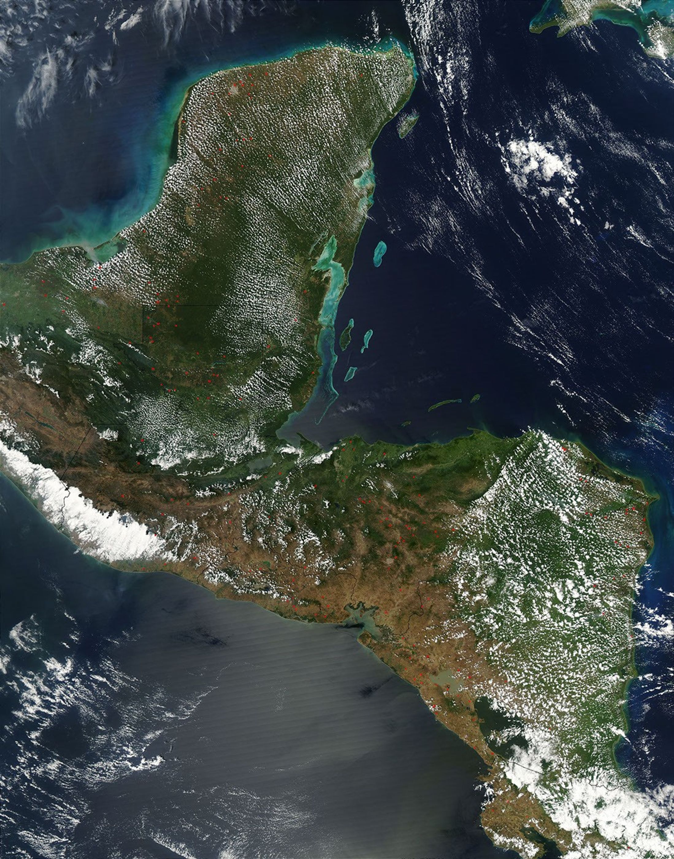
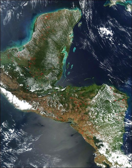
On March 1, 2003, the Moderate Resolution Imaging Spectroradiometer (MODIS) on the Aqua satellite detected widespread fires (red dots) scattered across Mexico’s Yucatan Peninsula, Belize (to the southeast), Guatemala (to the southwest), El Salvador (center, west coast), Honduras (center, east coast), Nicaragua, and the northern part of Costa Rica (bottom right). At upper right is the Caribbean Sea, and at lower left is the Pacific Ocean.

The high-resolution image provided above is 500 meters per pixel. The MODIS Rapid Response System provides this image at MODIS? maximum spatial resolution of 250 meters.

References & Resources

Image courtesy Jeff Schmaltz, MODIS Rapid Response Team, NASA GSFC

You may also be interested in:

Stay up-to-date with the latest content from NASA as we explore the universe and discover more about our home planet.

El Niño Is Underway
4 min read

Satellite observations of sea surface height indicated that the 2026 event continued to strengthen in early June.

Article
Signs of Thaw in the Bering Sea
3 min read

Drifting sea ice fragments near Alaska’s Saint Lawrence and Nunivak islands and colorful water around the Yukon Delta heralded the…

Article
Barents Sea Tied to Low Arctic Sea Ice
4 min read

Patches of open water in the region contributed to low sea ice extent across the Arctic in March 2026, which…

Article