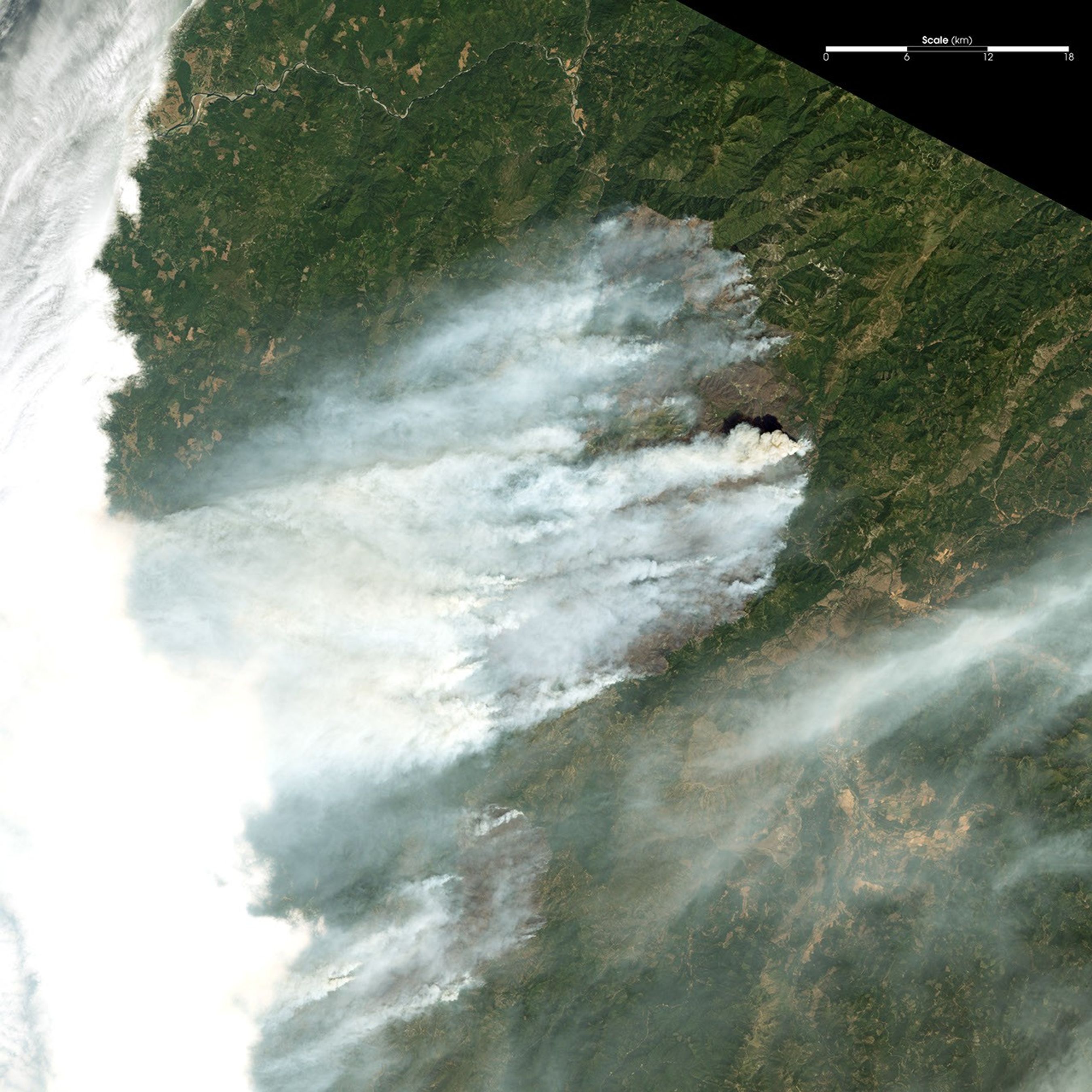
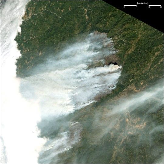
Suggested Searches

1 min read

Fires Scorch Oregon

Instruments:
Topics:
2024-07-29 12:00:00
July 29, 2002

In southwestern Oregon, the Florence Fire (north) and the Sour Biscuit Fire (south) continue to grow explosively. This image from the Landsat 7 Enhanced Thematic Mapper Plus was captured on July 29, 2002. The Florence Fire had grown to 50,000 acres and the Sour Biscuit Fire had grown to 16,000 acres. Numerous evacuation notices remain in effect.

Thick smoke from the actively burning eastern perimeter of the Florence Fire is billowing southward and mingling with the Biscuit Fire smoke.

References & Resources

Image provided by the USGS EROS Data Center Satellite Systems Branch.

You may also be interested in:

Stay up-to-date with the latest content from NASA as we explore the universe and discover more about our home planet.

Fires on the Rise in the Far North
3 min read

Satellite-based maps show northern wildland fires becoming more frequent and widespread as temperatures rise and lightning reaches higher latitudes.

Article
B.C. Wildfires Send Smoke Skyward
2 min read

Lightning likely ignited several large fires that sent smoke pouring over the Canadian province in early September 2025.

Article
Smoky Skies in the Pacific Northwest
3 min read

Smoke filled river valleys in northeastern Washington and parts of British Columbia.

Article