


- January 21, 2008 (5.19 MB JPG)
- December 30, 2007 (3.97 MB JPG)
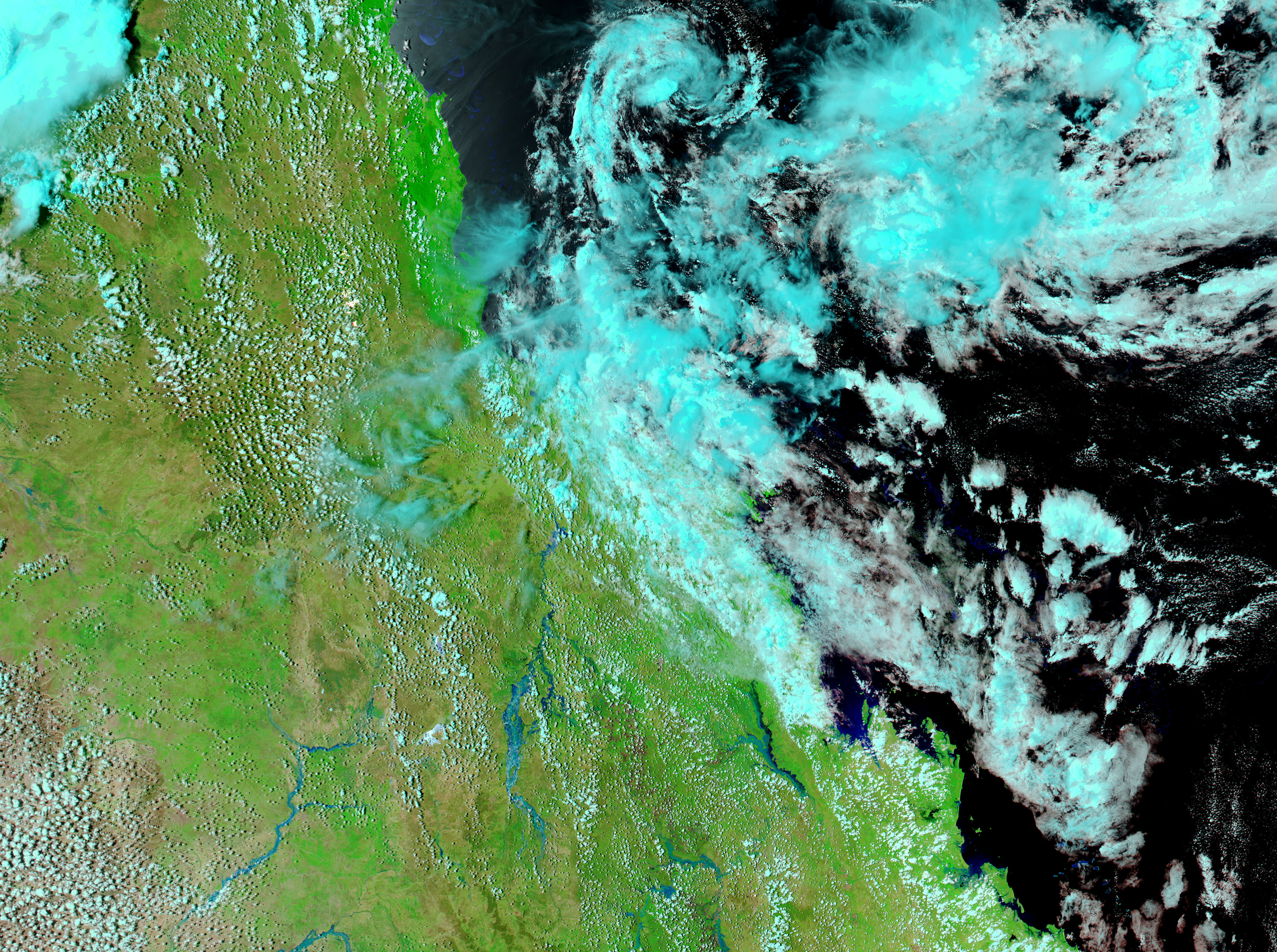
Unusually heavy summer rains left much of northeastern Australia flooded in January 2008. The Moderate Resolution Imaging Spectroradiometer (MODIS) on NASA’s Aqua satellite captured the top image of floods in Queensland on January 21. The lower image, taken by the MODIS sensor on NASA’s Terra satellite, shows the same region on December 30, 2007, before the heaviest rains started. In the weeks that passed between the time the two images were acquired, rivers seem to have sprung up across Queensland. Wide ribbons of blue run across the January 21 image where no water was evident in December.
Sediment colors the water dusty blue; clear water, such as the sliver of the Coral Sea in the upper right corner of the images, is black. Reflected sunlight has turned the seasonal river shown on the left side of the image silvery blue. The plant-covered landscape is bright green in these images, which are made with both infrared and visible light to make water more visible. Bare earth is tan, and clouds are light turquoise and white. Daily images of the floods are available from the MODIS Rapid Response System.
References & Resources
NASA images courtesy the MODIS Rapid Response Team at NASA GSFC. Caption by Holli Riebeek.


