


- January 12, 2004 (2.1 Mb JPEG)
- November 7, 2003(2.8 Mb JPEG)
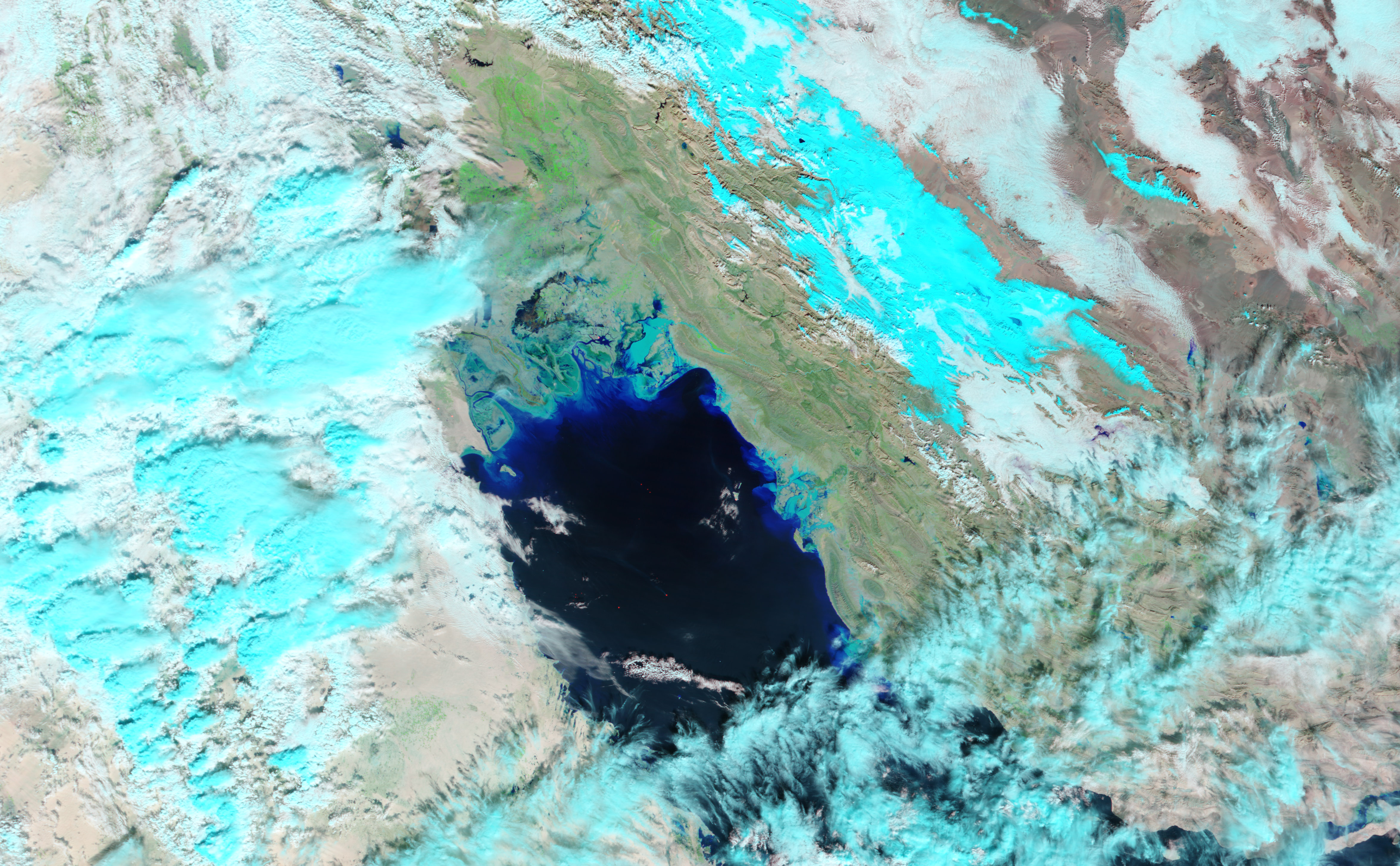
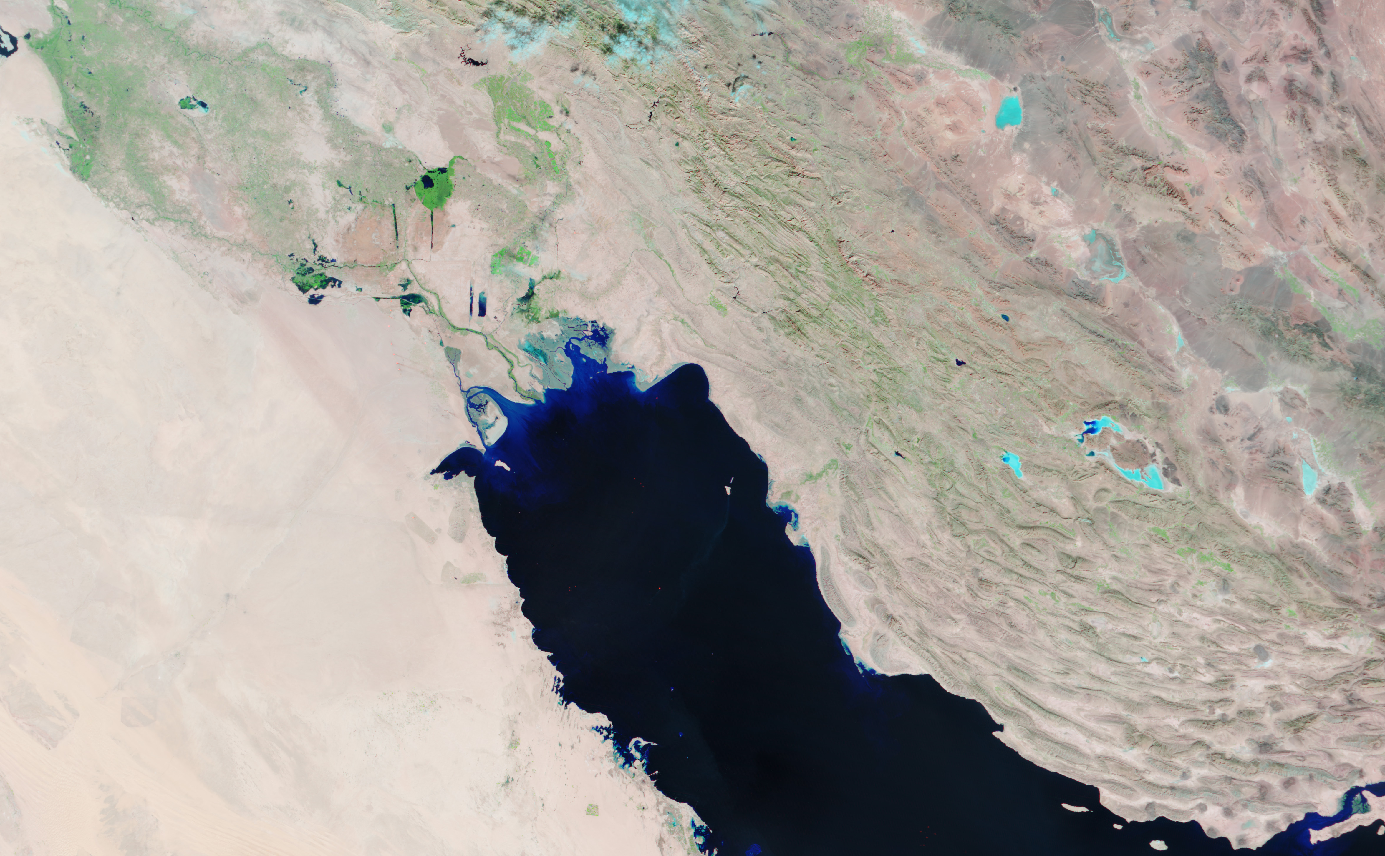
Two days of heavy rain spurred flash floods throughout Iranâs Fars and Bushehr Provinces starting on January 10, 2004. Iranâs official news agency reported that 6 people have died in Southern Fars Province, and 50 villages have been evacuated. The Moderate Resolution Imaging Spectroradiometer (MODIS) on the Terra satellite captured this false-color image of flooding in Bushehr on January 12, 2004. The image shows light-blue ponds of water in areas that were dry on November 7, 2003, lower image. In these images, vegetation is bright green, clouds are light blue, and bare earth is pink. The devastating floods in Southern Fars are southeast of the floods shown here, hidden by the clouds.
The high resolution images provided above are at MODISâ maximum resolution of 250 meters per pixel.
References & Resources
Image courtesy Jesse Allen, based on data from the MODIS Rapid Response Team at NASA GSFC


