


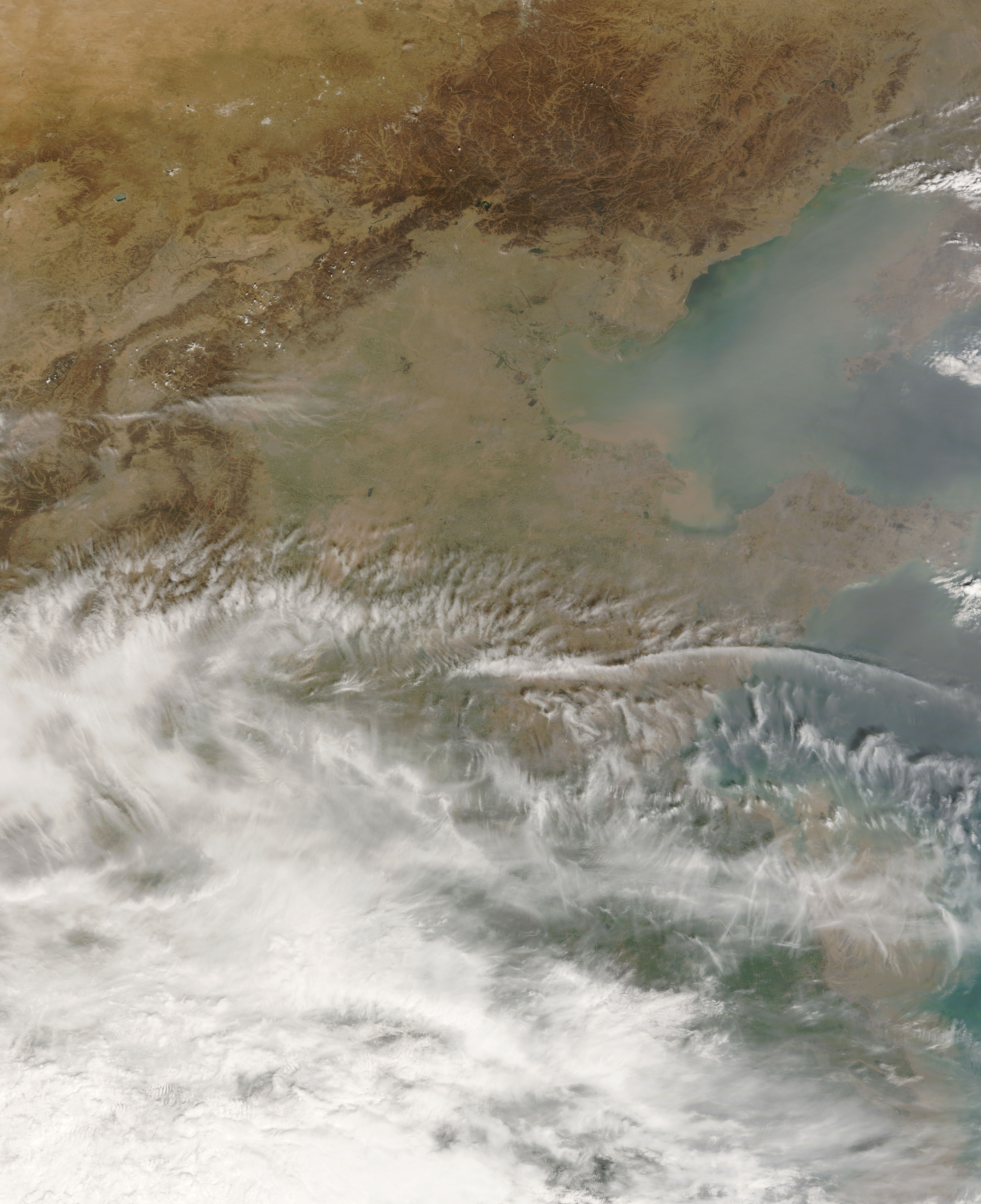
- True Color (2.4 MB JPG)
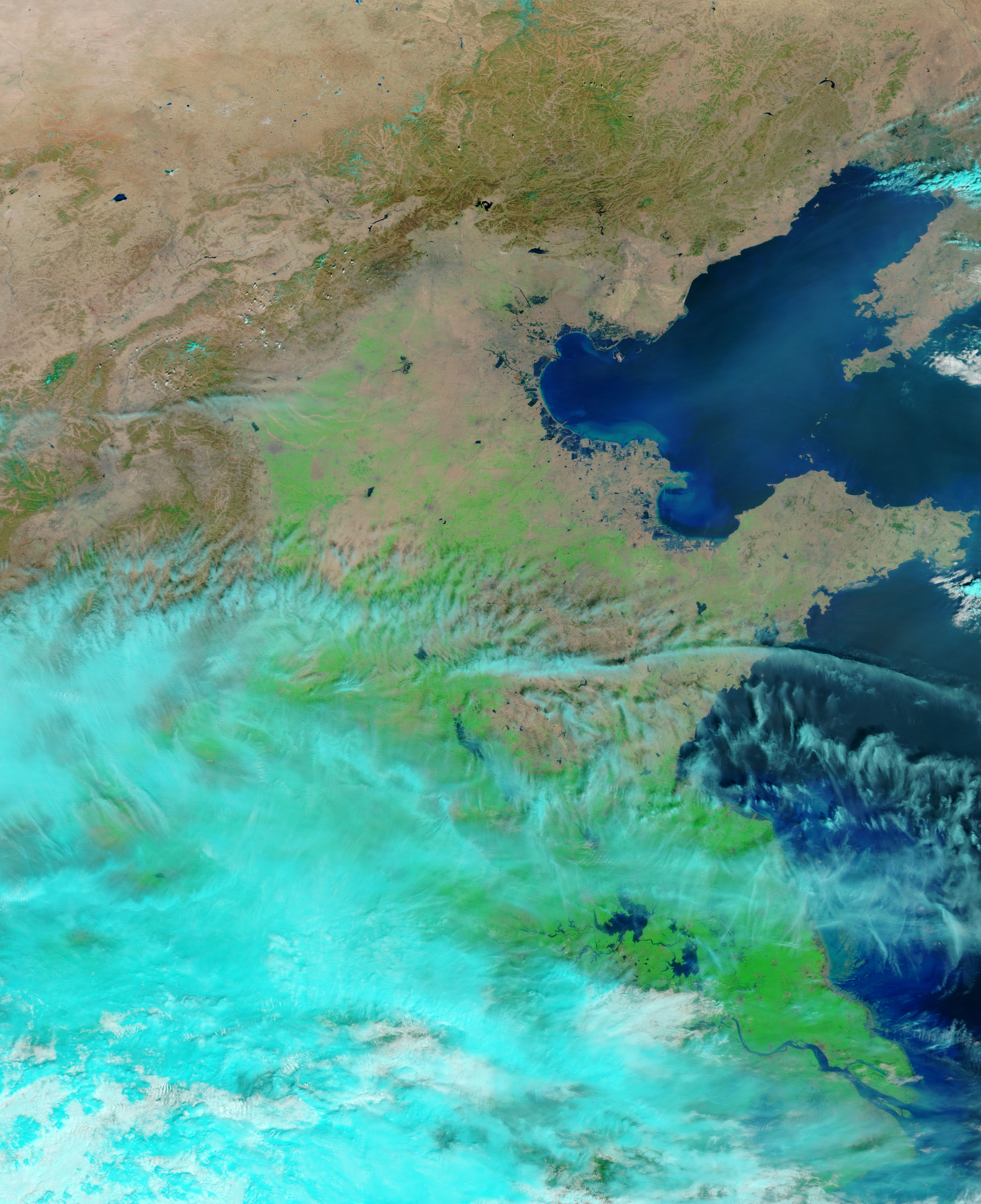
- False Color (3.5 MB JPG)
Just days after thick haze collected over the Beijing region, more haze clouded the skies over Bo Hai, east of the capital city. The Moderate Resolution Imaging Spectroradiometer (MODIS) flying onboard the Terra satellite captured these images of Bo Hai on March 26, 2007. The top image is a “true-color” picture, similar to a digital photo. The bottom image is a “false-color” picture that uses a combination of visible and infrared light to give a clearer picture of vegetation, water, and clouds.
Besides clearly showing vegetation, water, and clouds, the false-color image, when paired with a true-color image, helps the viewer discern haze. In the top image, thick haze dominates the image, but the same haze barely appears in the bottom image. The pollutants comprising most of the haze have little water content, rendering them largely invisible in the false-color picture.
References & Resources
NASA image courtesy the MODIS Rapid Response Team at NASA GSFC. The Rapid Response Team provides daily images of this region.


