


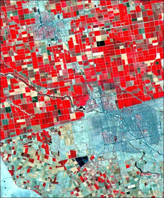
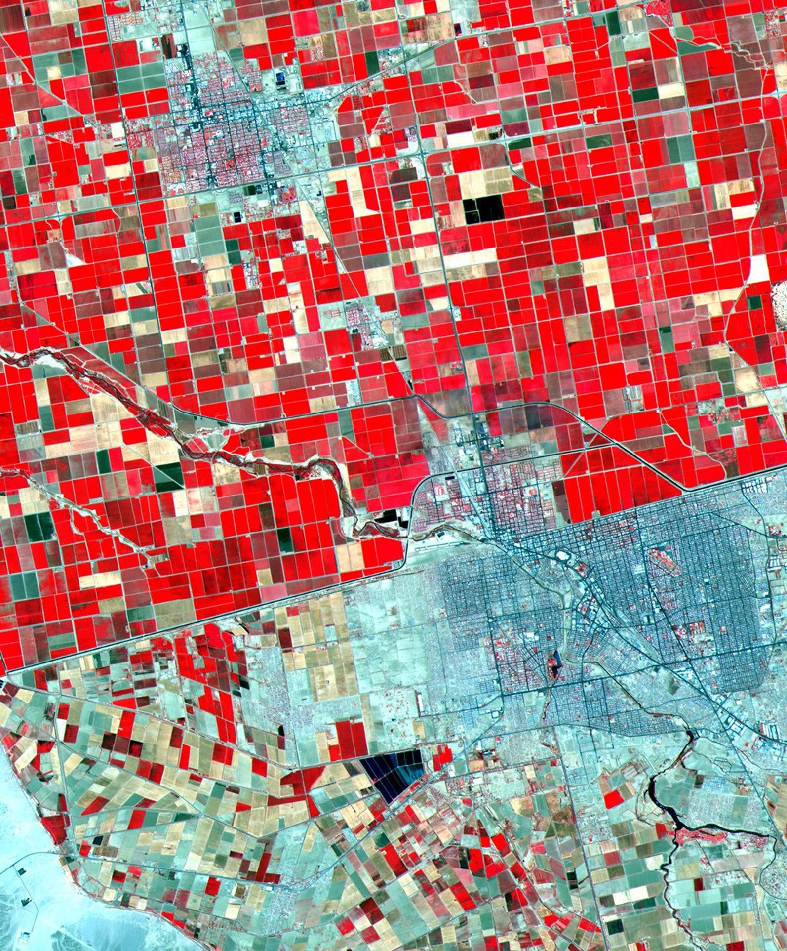
This image of the U.S.-Mexico border in California was taken bythe Advanced Spaceborne Thermal Emission and Reflection Radiometer (ASTER)on June 12, 2000. It covers an area of 24 by 30 km, with a resolution of 15meters per pixel (in the full resolution image). The combination of visible and near-infrared bands displays vegetation in red. The border town ofMexicali-Calexico spans the border in the middle of the image; ElCentro, California is in the upper left. The dramatic difference in landuse patterns between the U.S. and Mexico is highlighted by the lush, gridded agricultural fields of the U.S., and the more barren fields of Mexico. The Imperial Valley of California is one of the majorfruit and vegetable producers for the U.S., watered by canals fed from theColorado River.
ASTER is an imaging instrument that is flying on Terra, usedto obtain detailed maps of land surface temperature,emissivity, reflectance, and elevation. ASTER's ability to view the Earth's surface at highresolution is important for change detection, land surface studies,and calibration/validation of the other instruments aboard Terra.
References & Resources
Image courtesy NASA/GSFC/MITI/ERSDAC/JAROS, and the U.S./Japan ASTER Science Team


