


![Request for Information – Potential [Placeholder for Prize]](https://assets.science.nasa.gov/dynamicimage/assets/science/psd/solar/2023/09/s/solarsystem_0.jpg?w=1024)


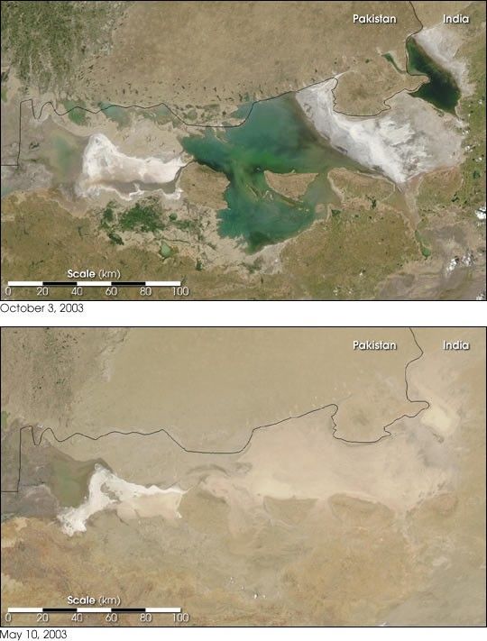
- October 3, 2003 (1.4 MB JPEG)
- May 10, 2003 (990 kB JPEG)
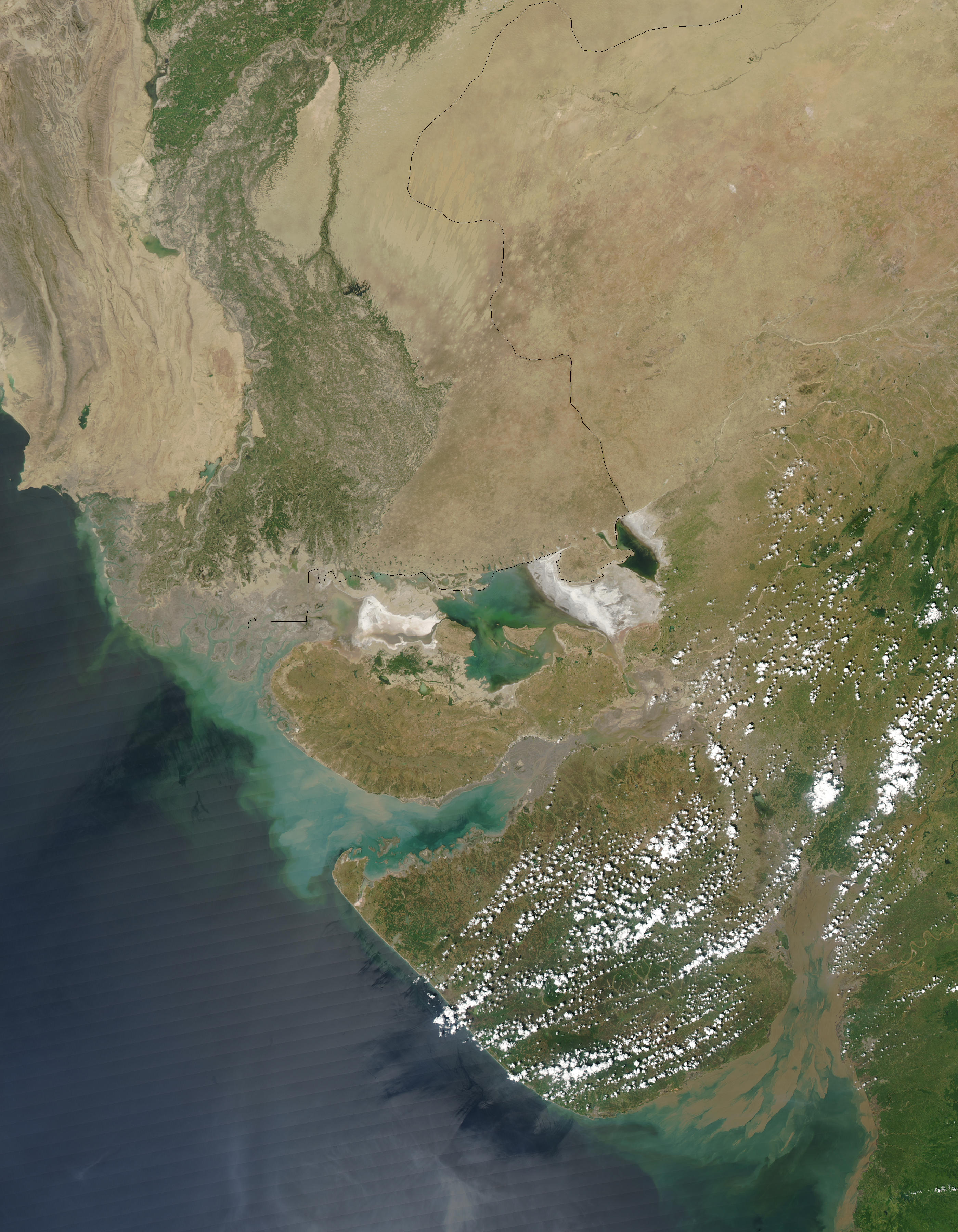
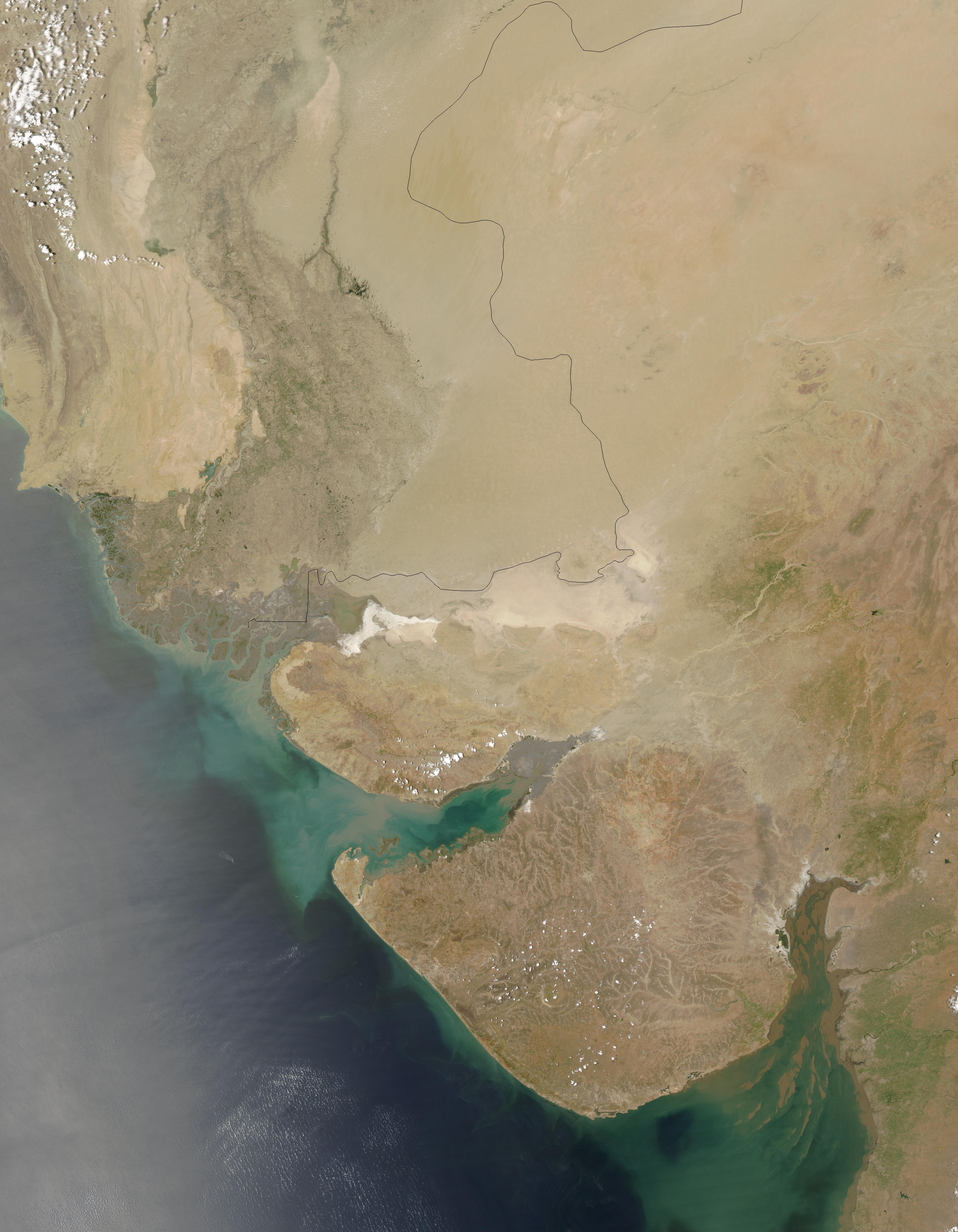
The heavy rains of India’s summer monsoon drenched the land, filling lakes and rivers. These Moderate Resolution Imaging Spectroradiometer (MODIS) images contrast the wet and the dry seasons in the Rann of Kutch in northwestern India. The top image, captured by NASA’s Aqua satellite on October 3, 2003, shows vast regions of standing water over what is otherwise desert land, as can be seen in the bottom image taken on May 10, 2003. September 30 marked the end of the monsoon season, which runs from July through September.
Normally a salt clay desert covering some 10,800 square miles, the Rann of Kutch becomes a salt marsh during the annual rains. Nestled between the Gulf of Kutch in India's northwestern state of Gujarat and the mouth of the Indus river in southern Pakistan, the region is home to Asia’s last herds of wild asses. Patches of high ground seen in the image become a refuge for wildlife during the wet season.
References & Resources
Images courtesy Jacques Descloitres, MODIS Land Rapid Response Team at NASA GSFC
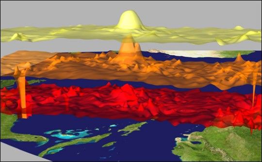
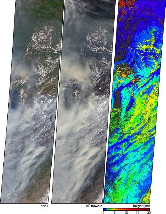
None


