Suggested Searches

1 min read

Tropical Cyclone Inigo

Instruments:
2024-04-08 12:00:00
April 8, 2003

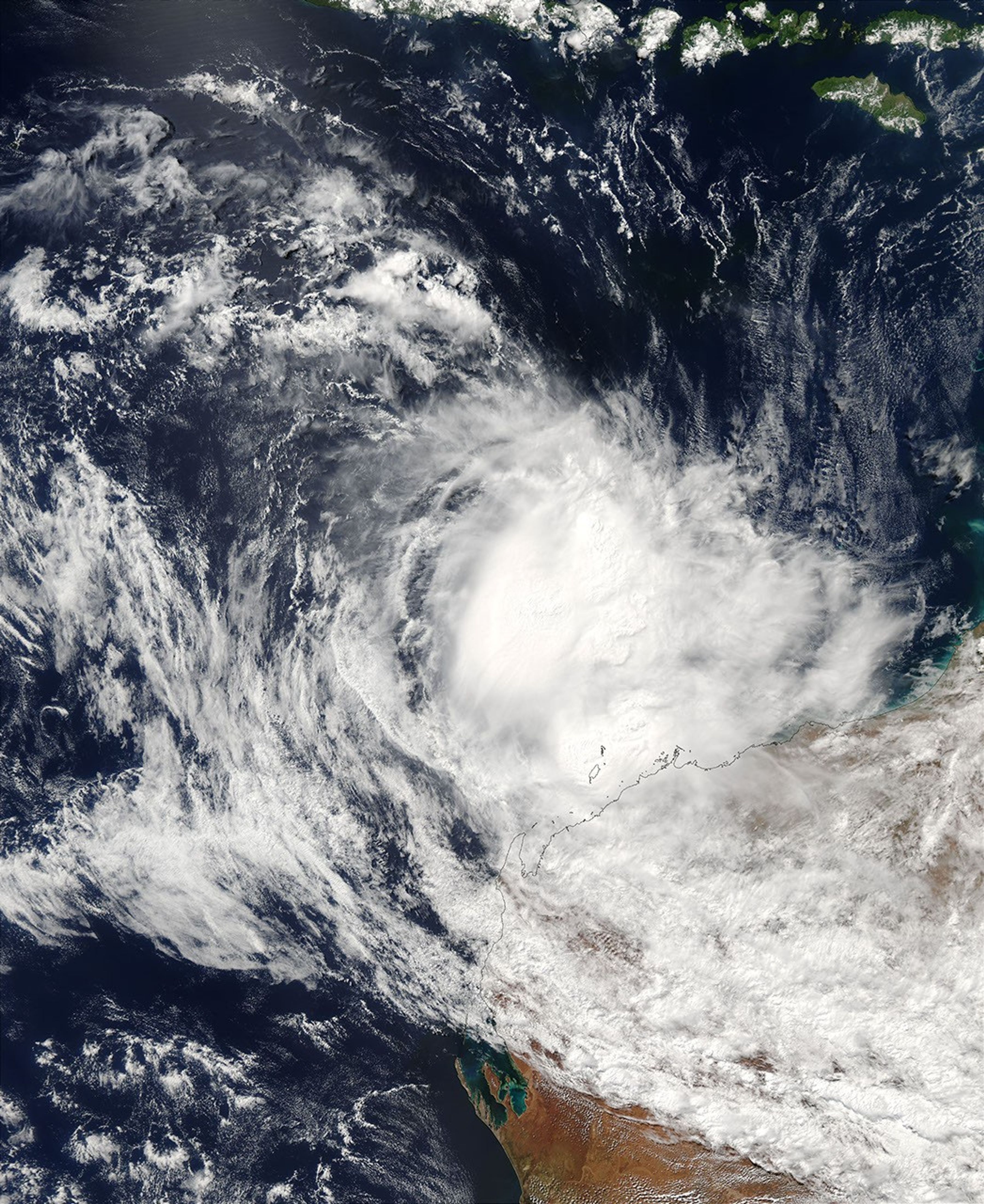
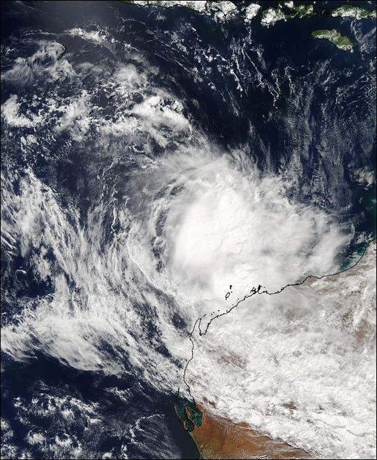
This image from the Moderate Resolution Imaging Spectroradiometer (MODIS) on the Aqua satellite shows Tropical Cyclone Inigo making landfall over the northern coast of Western Australia Territory. The storm is looking less organized than on previous days.

The high-resolution image provided above is 500 meters per pixel. The MODIS Rapid Response System provides this image at MODIS’ maximum spatial resolution of 250 meters.

References & Resources

Image courtesy Jeff Schmaltz, MODIS Rapid Response Team, NASA GSFC

You may also be interested in:

Stay up-to-date with the latest content from NASA as we explore the universe and discover more about our home planet.

Tropical Cyclone Narelle Crosses Australia
3 min read

The powerful storm lashed the northern edge of the continent with damaging winds and drenching rain as it made landfall…

Article
A Second Cyclone Slams Madagascar
3 min read

Widespread flooding affected tens of thousands of people after cyclones Fytia and Gezani drenched the island.

Article
Australia’s “Red Centre” Turns Green
3 min read

Abundant rainfall in February and March 2026 transformed the desert landscape of Central Australia.

Article