July 12, 2010
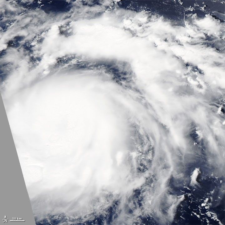
Tropical Storm Conson blew over the Pacific Ocean east of the Philippines on July 12, 2010. The U.S. Navy’s Joint Typhoon Warning Center (JTWC) reported that Tropical Storm Conson had maximum sustained winds of 60 knots (110 kilometers per hour) and gusts up to 75 knots (140 kilometers per hour). The storm was located roughly 400 nautical miles (740 kilometers) east of Manila, and was traveling westward.
The Moderate Resolution Imaging Spectroradiometer (MODIS) on NASA’s Aqua satellite captured this natural-color image on July 12, 2010. Because the storm occurs along the edge of the satellite swath, only part of the storm is pictured.
References & Resources
- Joint Typhoon Warning Center. (2010, July 12). Tropical Storm 03W (Conson) Warning. Accessed July 12, 2010.
NASA image courtesy MODIS Rapid Response Team at NASA GSFC. Caption by Michon Scott.