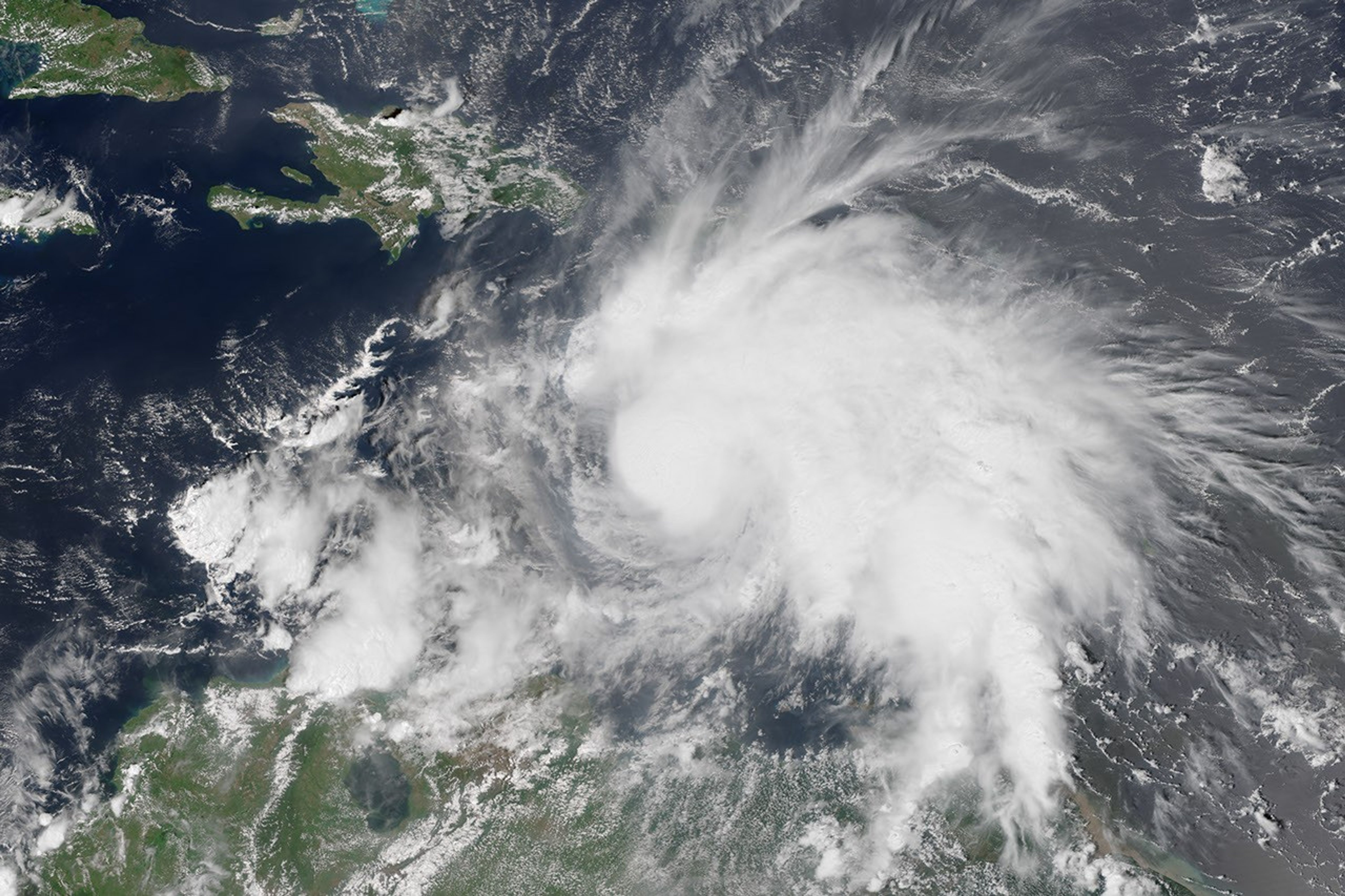
At 1 p.m. Atlantic Standard Time on September 29, 2016, the Visible Infrared Imaging Radiometer Suite (VIIRS) on the Suomi NPP satellite acquired this image of Tropical Storm Matthew as it was moving westward over the Caribbean Sea. By 2 p.m., the storm was upgraded to a hurricane, with maximum sustained winds measuring 120 kilometers (75 miles) per hour.
Forecasters are expecting the storm to eventually turn north, threatening Jamaica, Cuba, and the United States. The precise track of the storm remains uncertain.
References & Resources
- National Hurricane Center (2016, September 30) Hurricane MATTHEW Advisory Archive. Accessed September 6, 2016.
- Orlando Sentinel (2016, September 30) Hurricane Matthew gaining strength as Category 2 storm. Accessed September 30, 2016.
NASA Earth Observatory image by Jesse Allen, using VIIRS data from the Suomi National Polar-orbiting Partnership. Suomi NPP is the result of a partnership between NASA, the National Oceanic and Atmospheric Administration, and the Department of Defense. Caption by Kathryn Hansen.