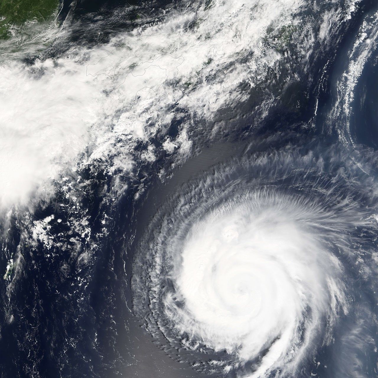
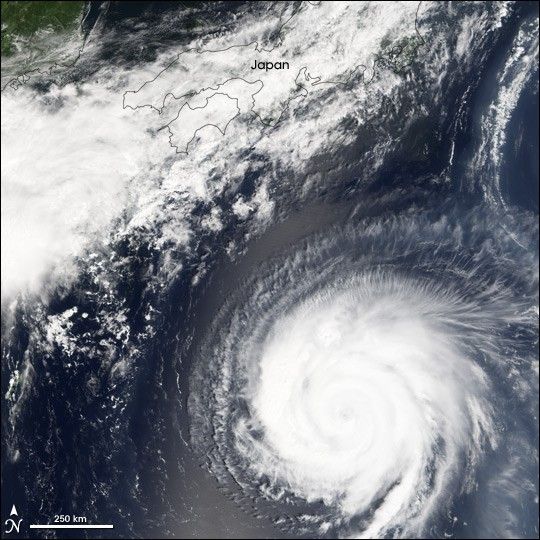
Typhoon Mawar is shown here as it approaches the coast of Japan in this satellite image. Mawar will come ashore in Japan on its projected course. The forecast for its strength has fluctuated in the past day (August 23), however. While Typhoon Mawar was not expected to weaken in the next few days, neither was it gaining strength as it approached Japan.
The Moderate Resolution Imaging Spectroradiometer (MODIS) on NASA’s Terra satellite captured this image at 10:50 a.m. local time, on August 23, 2005. At this time, Mawar had peak winds around 195 km/hr (120 mph). It is several hundred kilometres south of Tokyo and heading north-northeast at around 15 mph.
References & Resources
NASA image created by Jesse Allen, Earth Observatory, using data obtained from the MODIS Rapid Response team.