


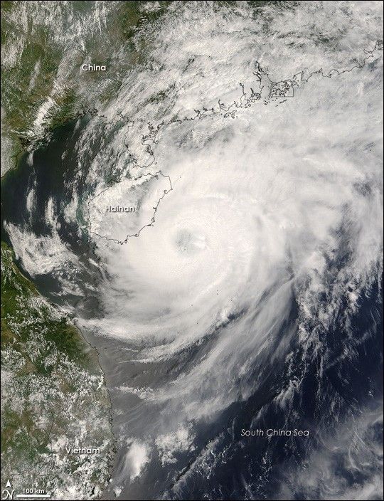
Typhoon Neoguri was beginning to move over the Chinese island of Hainan on April 18, 2008, when the Moderate Resolution Imaging Spectroradiometer (MODIS) on NASA’s Terra satellite captured this photo-like image. As the storm moved northeast throughout the day, only its outer bands passed over the island. The more powerful center stayed offshore over the warm waters of the South China Sea.
Terra MODIS captured the image at 11:30 a.m., local time (3:30 UTC) just as Neoguri was winding down from a Category 2 to a Category 1 storm. Three hours before the image was taken, the Joint Typhoon Warning Center estimated the storm’s winds to be 180 kilometers per hour (110 mph or 95 knots). When the center issued their next report three hours after the image was taken, the storm’s estimated winds speeds had dropped to 160 km/hr (100 mph or 85 knots). The Joint Typhoon Warning Center predicted that the storm would weaken into a tropical storm before striking mainland China on April 19.
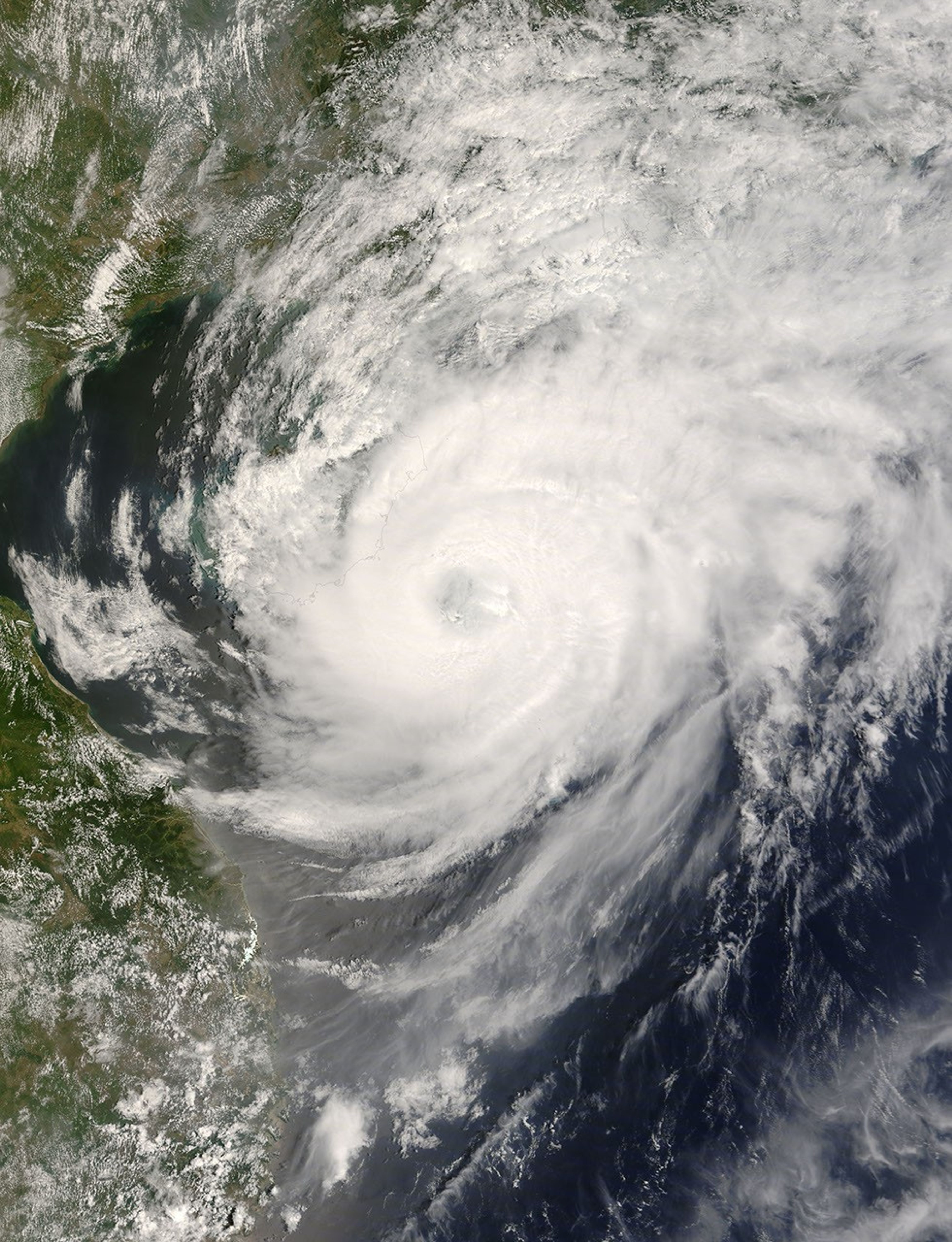
The large image is at MODIS’ maximum resolution of 250 meters per pixel. The image is available in additional resolutions from the MODIS Rapid Response System.
References & Resources
NASA image courtesy Jeff Schmaltz, MODIS Rapid Response Team at NASA GSFC. Caption by Holli Riebeek.


