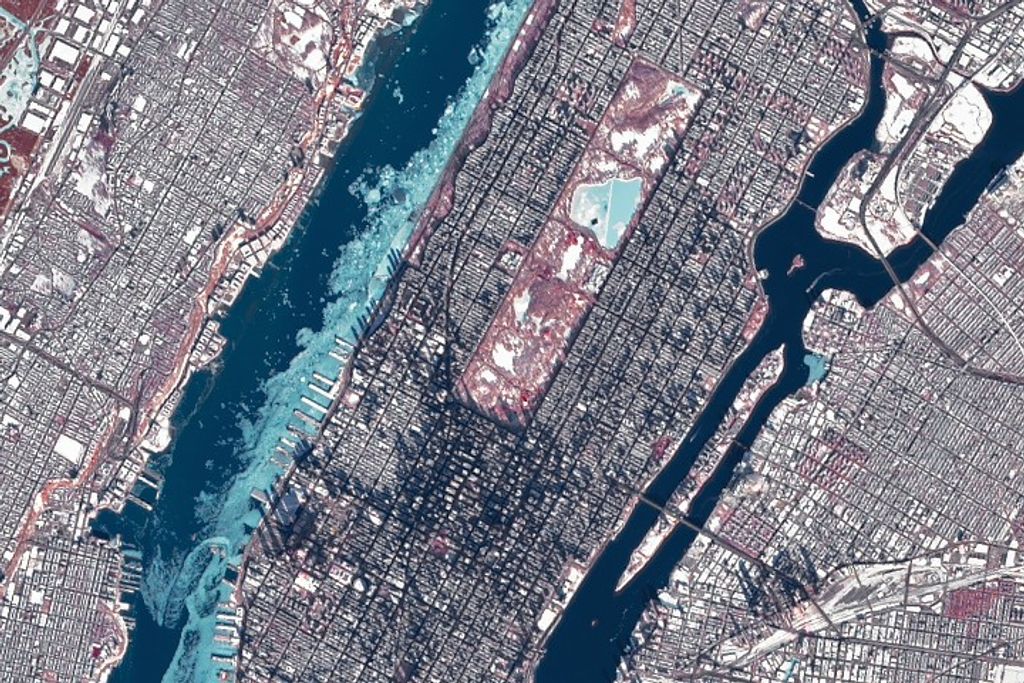
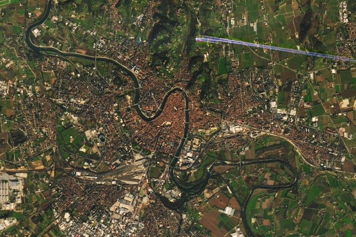
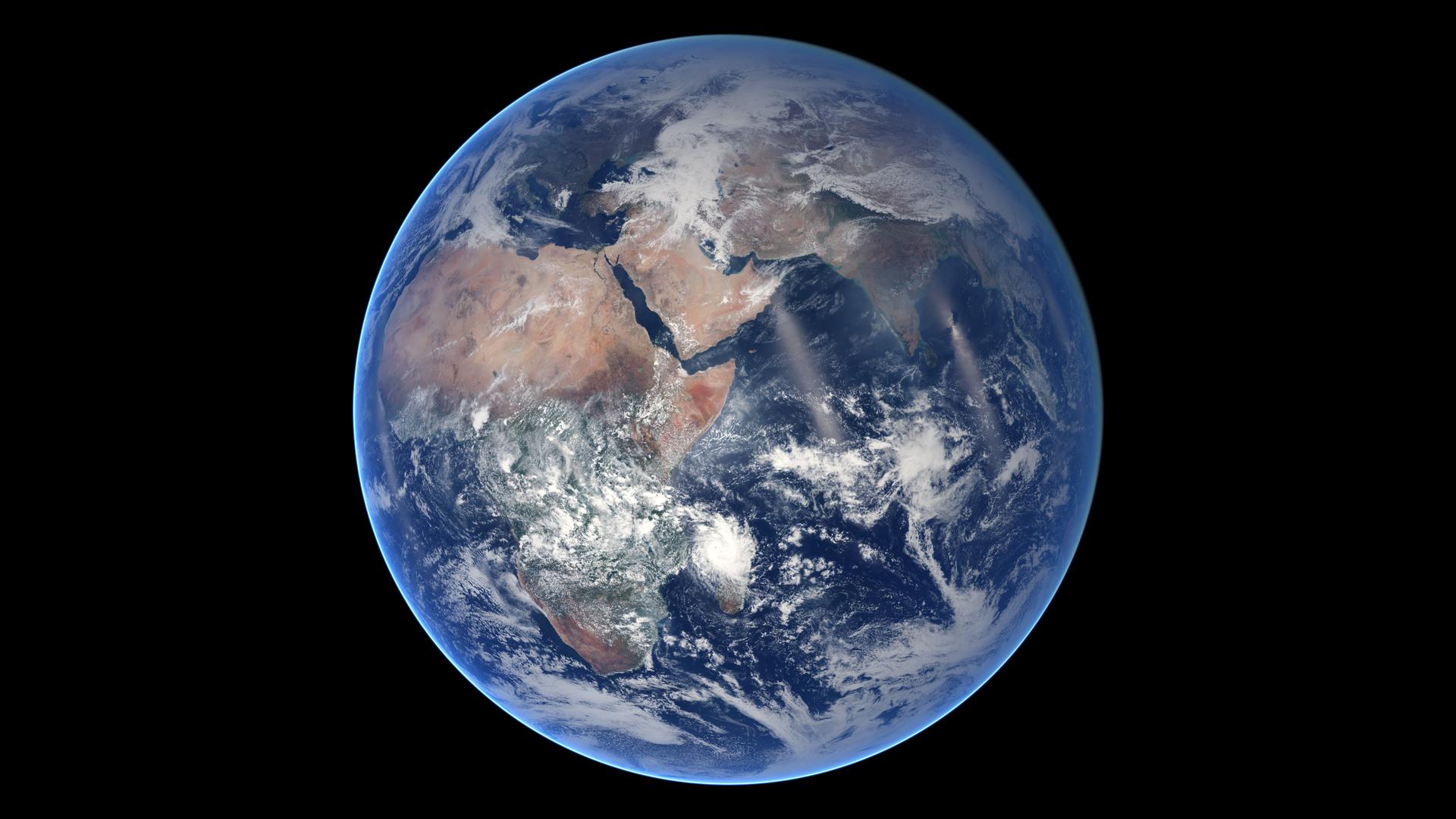
Wildfires are a powerful force, reshaping landscapes in hours. NASA and USGS Landsat satellites have been tracking these fires for decades, helping scientists understand and manage wildfire risk, map burned areas, and monitor ecosystem recovery—all from space.
Discover how Landsat data supports wildfire management, from spotting early fire risks to watching nature's recovery. With climate change intensifying fires, Landsat remains a critical tool for safeguarding our planet.


