


This image shows the robotic arm of NASA’s Mars rover Curiosity with the first rock touched by an instrument on…
This view of Curiosity’s deck shows a plaque bearing several signatures of US officials, including that of President Obama and…
Shuttle Endeavour was ferried to Los Angeles, briefly flying over the California state capitol, Sacramento, then demated from its NASA…
On Sept. 21, 2012, space shuttle Endeavour, mounted atop its 747 Shuttle Carrier Aircraft, flew over the Golden Gate Bridge…
NASA’s Shuttle Carrier Aircraft with space shuttle Endeavour mounted atop lifts off Runway 04L at Edwards Air Force Base Sept.…
Space shuttle Endeavour atop its modified 747 carrier aircraft overflies the former Alameda Naval Air Station adjoining San Francisco Bay…
NASA Deputy Administrator Lori Garver speaks at a welcoming ceremony for space shuttle Endeavour, on Friday, Sept. 21, 2012, at…
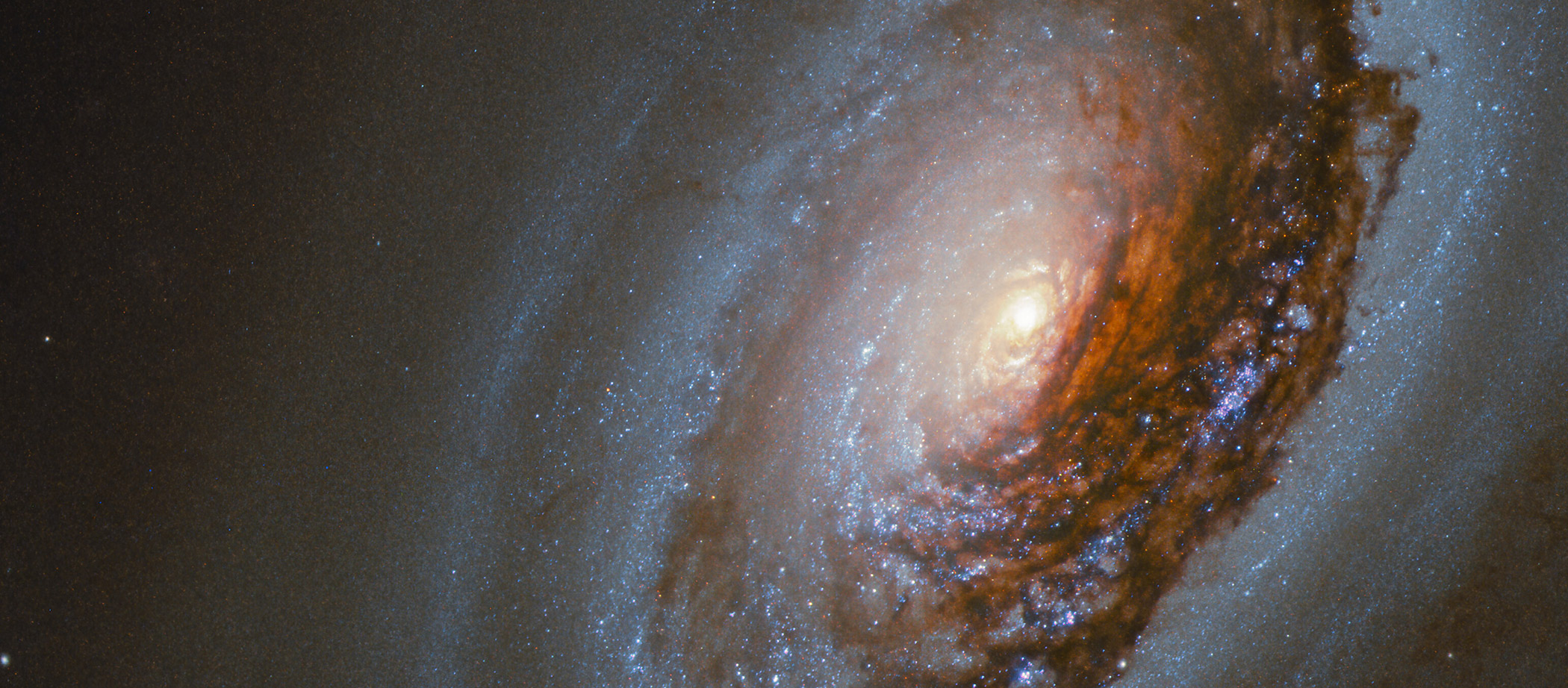
ISS033-E-005644 (19 Sept. 2012) — One of the Expedition 33 crew members aboard the International Space Station, flying at an…
The space shuttle Endeavour, atop the Shuttle Carrier Aircraft, or SCA, lands at Los Angeles International Airport on Tuesday, Sept.…

