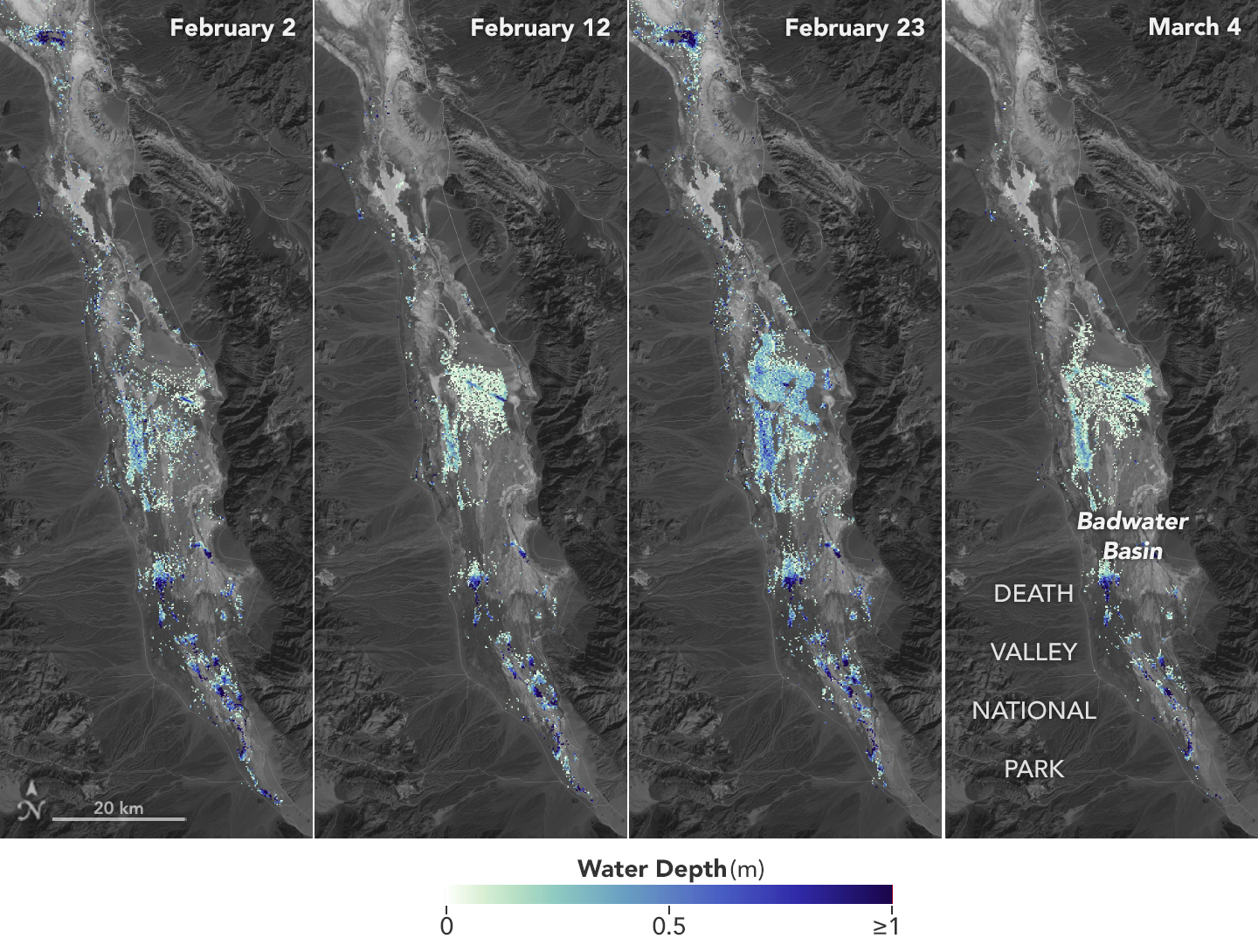
How Deep Was Death Valley’s Temporary Lake?
Researchers used satellite data to calculate the depth of water in this transient freshwater body. View the full story
Credits: NASA Earth Observatory / Lauren Dauphin
TakenMarch 4, 2024
Image CreditNASA Earth Observatory / Lauren Dauphin
Size640x484px
