

How Do We Measure Sea Level?
For over 30 years, NASA and its partners have measured sea level around the world using satellites. These satellites use an instrument called an altimeter, which measures the height of the ocean’s surface. Scientists then combine this data with information from tidal gauges, or instruments near the shore that track sea level in specific places. Using this data from land and from orbit, scientists can create a global view of sea level and how it is changing.
What causes sea level to change?
Scientists think about sea level in two different ways. The local sea level is what the sea level is at a specific place compared to the height of the land. The second is the global sea level, which is the average sea level across the entire planet.
Global sea level is linked to Earth’s temperature. When the planet warms, glaciers and ice sheets on land melt and flow into the ocean. This adds water to the ocean, making the sea level rise.

Also, water expands as it gets warmer. So warm water takes up more space in the ocean – also making the sea level rise.

These two things combined have raised sea level about 7 to 8 inches (about 16 to 21 centimeters) since 1900.
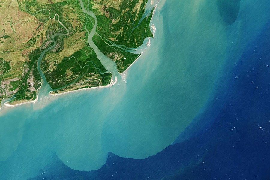
However, global sea level rise impacts each location differently. That’s because other factors change local sea level. These include things like, if the land is slowly moving up or down, or if there are changes in ocean currents. Another factor is how close the location is to melting glaciers and ice sheets. These changes can mean that local sea levels may be rising more or less than the global sea level.
How do we measure sea level?

There are two main ways that sea level is measured. Local sea levels are often measured by instruments called tide gauges. These measure changes in sea level compared to the land next to it. They are very accurate, but are limited to that specific location.
Another way to measure sea level is from space. These observations are used to measure the sea level across the entire planet, including in hard-to-reach places. NASA and its partners have been using satellites to measure sea level from space for over 30 years. They have done this through a series of satellites. The latest satellites taking measurements are Jason-3 and Sentinel-6 Michael Freilich.
These satellites carry an instrument called a radar altimeter. It uses microwaves to measure distances. These waves are similar to the ones used to heat food in a microwave oven. But they are at different frequencies. Frequency is how often the same wave repeats.
Here's how it works. The satellite sends down microwaves to the ocean surface. The waves bounce off the surface and then back to the satellite. The satellite then times how long it takes for the wave to return. This gives the distance between the satellite and the ocean. The satellite also measures how far it is from the middle of the Earth. Together, these measurements give the height of the ocean in that particular location.

The satellites constantly zip over new portions of the planet. In about 10 days, they each measure ocean height over the entire Earth. Finding an average of all those measurements gives us the global sea level.
Satellite measurements are also very accurate. They can measure sea surface height to within about an inch (3 centimeters). But a satellite isn’t always over a specific location. So for changes that happen temporarily, like during a storm or a tsunami, local tide gauges can measure changes that a satellite might not see.
Together these measurements help scientists know how sea levels are changing. This helps people decide how to help their communities when they need it.
Related Resources for Educators
- Project: How Melting Ice Causes Sea Level Rise
Stability and Change: Monitoring Sea Level Student Activity
Student Activity: Sea Level Rise By Decade
Data Jigsaw Student Activity: Exploring Sea Level Rise with Others
Related NASA Missions
Jason-3
Jason-3 is the fourth U.S.-European satellite mission that measures ocean-surface height.
Sentinel-6 Michael Freilich
These satellites will help us to understand ocean circulation. They will also help to measure and monitor global sea level rise. It will also capture measurements of the atmosphere that will help improve how we predict future weather and climate.