![Request for Information – Potential [Placeholder for Prize]](https://assets.science.nasa.gov/dynamicimage/assets/science/psd/solar/2023/09/s/solarsystem_0.jpg?w=1024)


GOES Satellite Network
Geostationary Operational Environmental Satellites (GOES) is a collaborative NOAA and NASA program providing continuous imagery and data on atmospheric conditions and solar activity ( space weather ). NASA builds and launches the GOES and NOAA operates them.
Overview
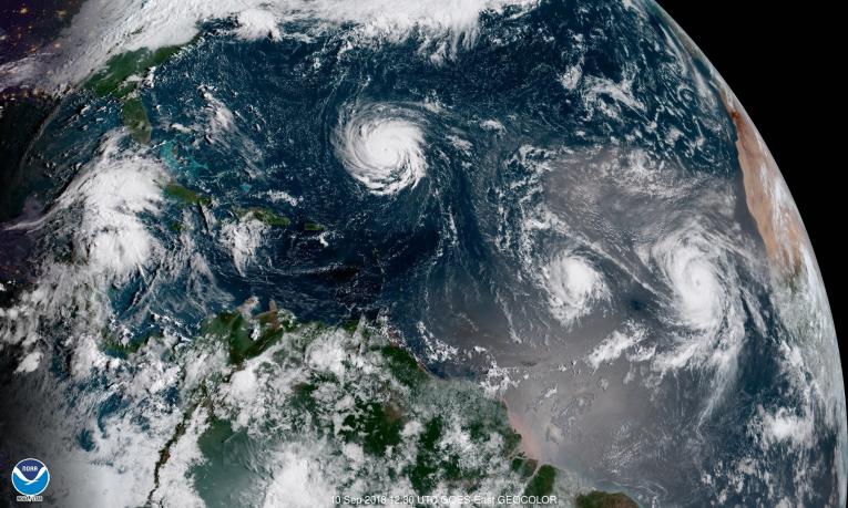
GOES provide advanced imagery and atmospheric measurements of Earth’s Western Hemisphere, real-time mapping of lightning activity, and monitoring of solar activity and space weather. GOES satellites orbit 22,236 miles above Earth’s equator, at speeds equal to the Earth's rotation. This allows them to maintain their positions over specific geographic regions so they can provide continuous coverage of that area over time.
ORBIT
Equatorial
Altitude
22,236 Miles
GOES West
137.0 West (GOES 18)
GOES East
75.2 West (GOES 16)
NOAA Celebrates 50 Years of GOES Satellites
In 2025, NOAA is celebrating 50 years of its heralded GOES satellite program. For five decades, NOAA and NASA have partnered to advance NOAA satellite observations from geostationary orbit.
Learn More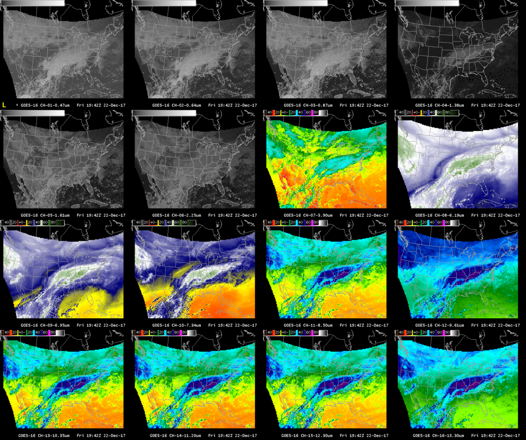


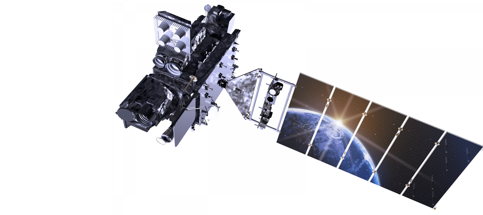
GOES-R Series
NOAA’s most sophisticated Geostationary Operational Environmental Satellites (GOES), is known as the GOES-R Series, The GOES-R Series provides critical atmospheric, hydrologic, oceanic, climatic, solar and space data, significantly improving detection and observation of environmental phenomena that directly affect public safety, protection of property, and our nation’s economic health and prosperity.
GOES-R
GOES-16 Nov 2016
GOES-S
GOES-17 Mar 2018
GOES-T
GOES-18 Mar 2022
GOES-U
GOES-19 June 2024
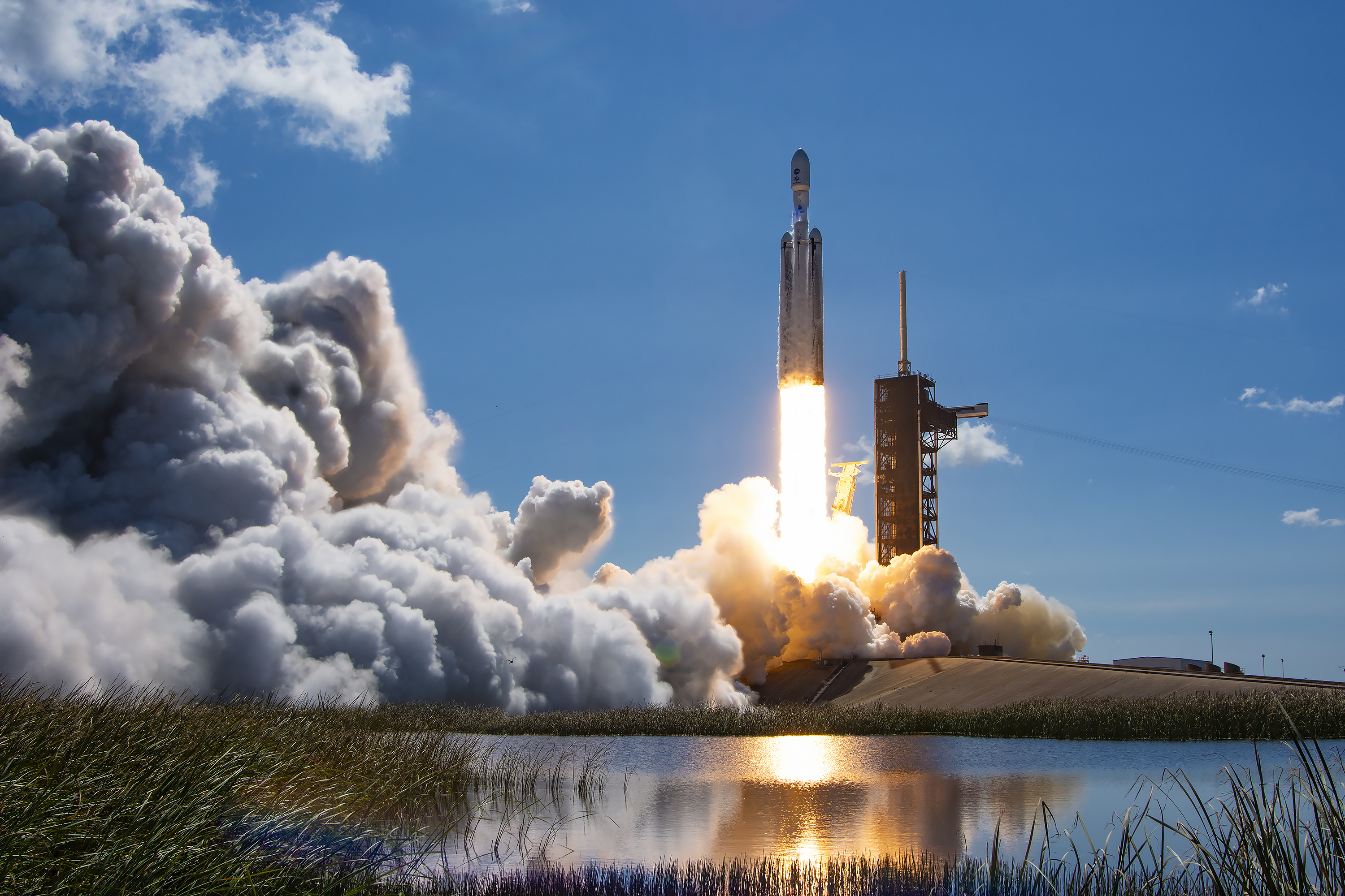
The first satellite in the series, GOES-R, now known as GOES-16, was launched in 2016 and is currently operational as NOAA’s GOES East satellite. GOES-S, now known as GOES-17, was launched in 2018 and now serves as an on-orbit backup. GOES-T, now GOES-18, launched in 2022 and now serves as NOAA’s operational GOES West satellite. GOES-U, the final satellite, launched in 2024 and is now known as GOES-19. GOES satellites are designated with a letter prior to launch. Once a GOES satellite has successfully reached geostationary orbit, it is renamed with a number.
Together, GOES East and GOES West watch over more than half the globe — from the west coast of Africa to New Zealand and from near the Arctic Circle to the Antarctic Circle.
Benefits Include:
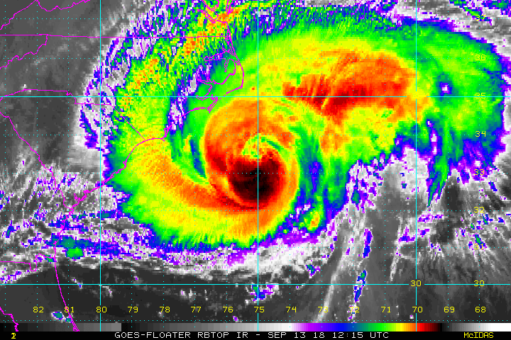
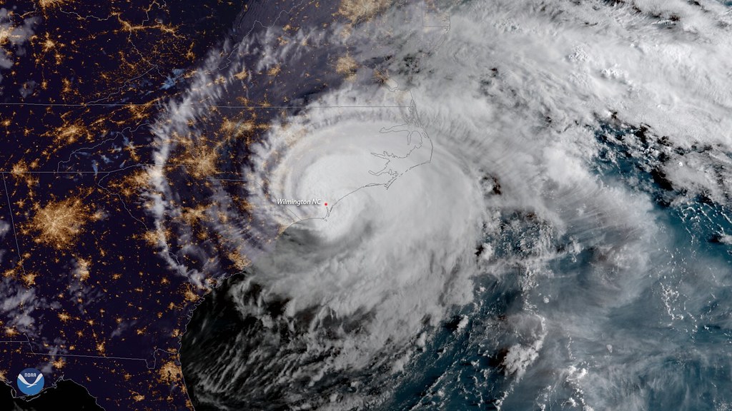
- Hurricane track and intensity forecasts
- Early warning of severe storms and tornadoes
- Fire detection, monitoring, and intensity estimation
- Identification of lightning strikes most likely to ignite fires
- Detection of low clouds and fog
- Monitoring of atmospheric river events that can cause flooding and mudslides
- Monitoring of smoke, dust and aerosols
- Data for air quality warnings and alerts
- Data for aviation route planning and reducing weather-related flight delays
- Detection of volcanic eruptions and monitoring of ash and sulfur dioxide
- Detection of heavy rainfall and flash flood risks.
- Sea surface temperature data for monitoring fisheries and marine life
- Monitoring of vegetative health
- Data for long-term climate variability studies
- Detection of meteors entering Earth’s atmosphere
- Detection of coronal holes, solar flares, and coronal mass ejection source regions
- Warning of space weather hazards responsible for communications and navigation disruptions and power blackouts
- Monitoring of energetic particles responsible for radiation hazards
GOES News Feed
GOES news features released on nasa.gov in reverse chronological order. For launch updates see the next section "GOES Launch Updates".


GOES-19 Updates
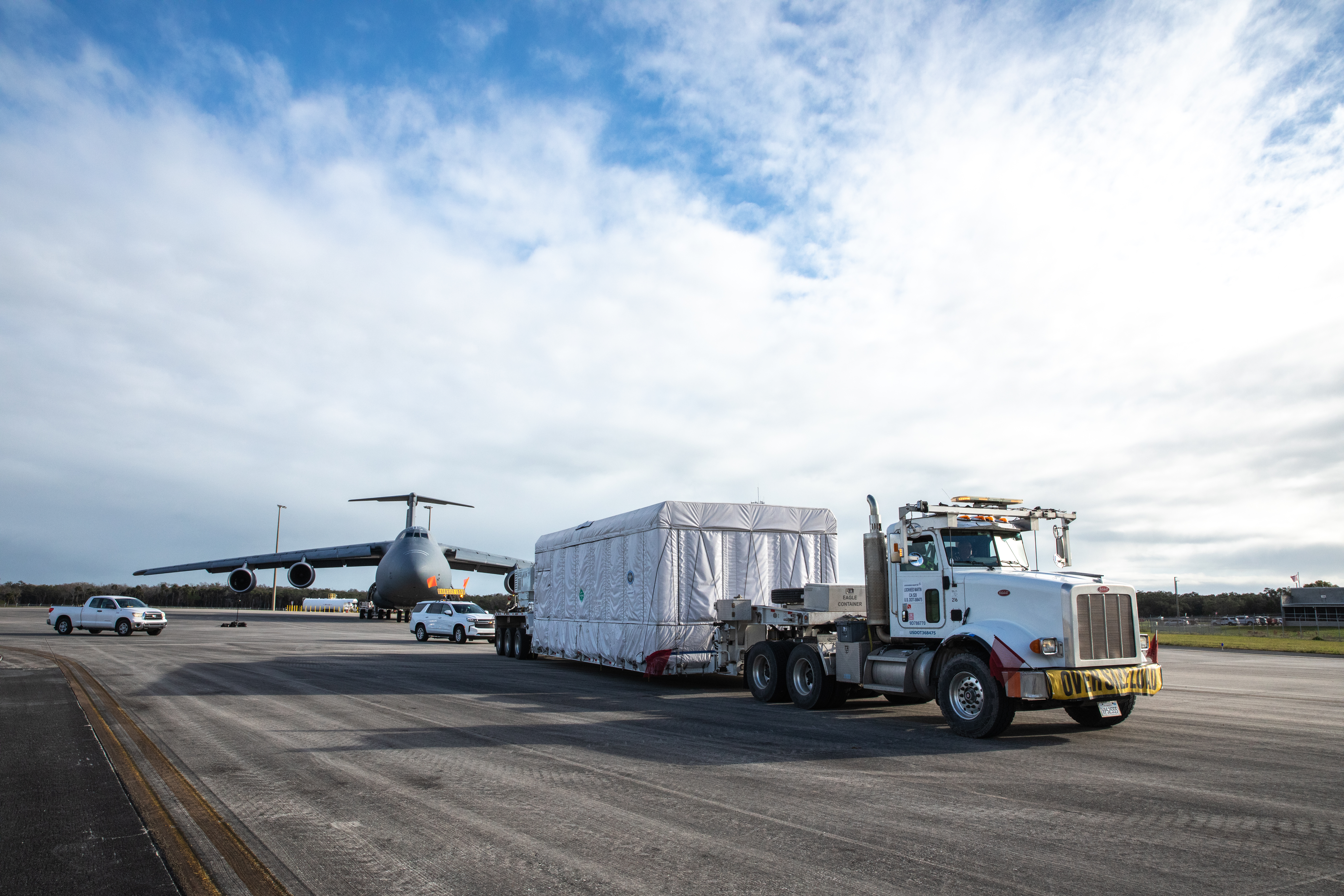
GOES-19 is the final GOES-R Series satellite. Known as GOES-U when it launched on June 25, 2024, once it reached geostationary orbit its name changed to GOES-19. This section contains highlights of key milestones in the form of launch blog updates, feature stories and news items that track the GOES-U launch and GOES-19 commissioning on the path to becoming operational.
See also the GOES Blog about GOES-19 Updates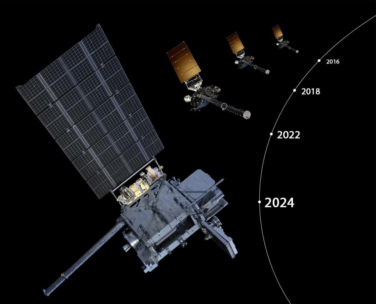
NOAA’s GOES-U Satellite: One Year Later
As NOAA marks the first anniversary of sending GOES-U into space, we check in with the newest satellite in NOAA’s fleet.
Learn More