HS3 Stories
![](/_ipx/animated_true&w_4096&f_jpeg/images/default-thumbnail.jpg)
New Video Highlights 3 Years of NASA Hurricane Research
NASA’s Hurricane and Severe Storms Sentinel, or HS3, mission investigated tropical cyclones in the 2012, 2013 and 2014 Atlantic Basin hurricane seasons. Highlights of the mission can be seen in a new video. The six minute and 51 second video…
![](https://www.nasa.gov/wp-content/uploads/2015/03/uavcpl-global-hawk-0.jpg?w=4096&format=jpeg)
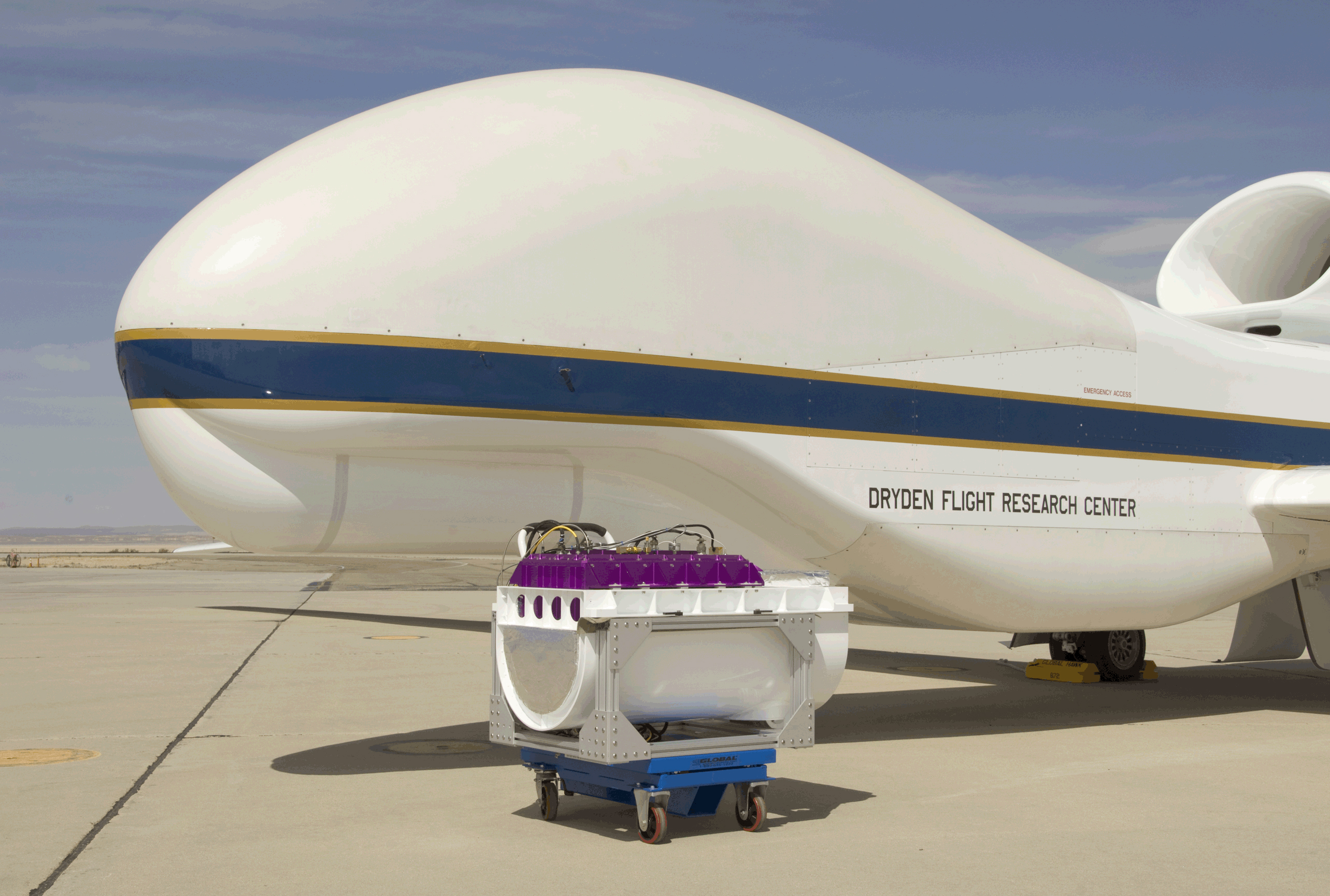
NASA HS3 Instrument Views 2 Dimensions of Clouds
Looking out the window of a commercial plane during takeoff is like taking the nickel tour of the profile of the atmosphere. As the plane ascends, what may start as a gloomy day on the ground, can turn into rain…
![](https://www.nasa.gov/wp-content/uploads/2015/04/14869475720_c231e2e0a0_k.jpg?w=4096&format=jpeg)
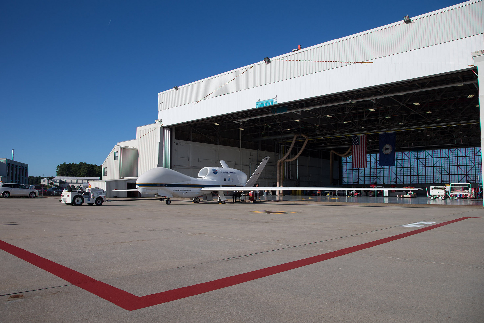
Update and Q&A on NASA’s 2014 HS3 Hurricane Mission
NASA’s Hurricane and Severe Storms Sentinel or HS3 mission is taking flight, and Principal Investigator Scott Braun answered some behind-the-scenes questions about the 2014 mission. This is the final year of the HS3 mission which uses NASA instrumented, remotely piloted…
![](https://www.nasa.gov/wp-content/uploads/2015/03/heliotail-fastslow-winds.jpg?w=4096&format=jpeg)
NASA HS3 Hurricane Animation Paints Colors of the Wind
A new animation from NASA paints the colors of the wind in a tropical low pressure area that was investigated during NASA’s 2013 Hurricane and Severe Storms Sentinel or HS3 mission. The visualization shows wind streams from a tropical depression…
![](https://www.nasa.gov/wp-content/uploads/2014/06/kakar-003.jpg?w=4096&format=jpeg)
HS3 People: Ramesh Kakar, Weather Focus Area Leader
Ramesh Kakar, the Weather Focus Area leader for the Science Mission Directorate at NASA Headquarters in Washington, makes opening remarks at NASA’s airborne Hurricane and Severe Storm Sentinel (HS3) mission science and deployment preparation meeting at NASA’s Ames Research Center…
![](https://www.nasa.gov/wp-content/uploads/2015/04/image1hirad_7ghz.jpg?w=4096&format=jpeg)
HS3 Mission Identifies Area of Strong Winds, Rain in Hurricane Ingrid
One of the instruments that flew aboard one of two unmanned Global Hawk aircraft during NASA’s HS3 mission was the Hurricane Imaging Radiometer known as HIRAD. HIRAD identified an area of heavy rains and and likely strong winds in Hurricane…
![](https://www.nasa.gov/wp-content/uploads/2015/04/airs.jpeg?w=4096&format=jpeg)
Mission Update: Southwestern Gulf System 95L Targeted by NASA’s Global Hawk
NASA’s Aqua satellite passed over a developing low pressure area in the southwestern Gulf of Mexico and captured infrared data on what is now the latest destination for NASA’s Hurricane and Severe Storms Sentinel mission. On Sept. 19, NASA’s HS3…