![Request for Information – Potential [Placeholder for Prize]](https://assets.science.nasa.gov/dynamicimage/assets/science/missions/a-step/FFR_Earth_Background_20251120%20.png?w=1024)


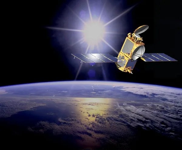
OSTM / Jason-2
Ocean Surface Topography Mission
Type
Orbiter
Launch
June 20, 2008
Partners
French Space Agency (CNES), the European Organization for the Exploitation of Meteorological Satellites (EUMETSAT), NOAA, and NASA
Objective
Mapping ocean height