


Landsat Stories
Filters

Ireland is best known for its many greens, but the striking grays of the island's Burren region also stand out in satellite images.

During the 2022 summer melt season, sediment plumes and fractured sea ice traced swirling eddies in a branch of the Nansen Sound fjord system in the Canadian Arctic.

Activity at the volcano in the Philippines sent lava and pyroclastic flows down the volcano’s flanks and prompted evacuations in nearby communities.

Lake Unter-See in Antarctica, sealed beneath thick ice, contains unusually high levels of dissolved oxygen and cone-shaped microbial reefs resembling some of Earth’s oldest fossils.

The William T. Pecora Award is presented annually to individuals or teams using satellite or aerial remote sensing that make outstanding contributions toward understanding the Earth (land, oceans, and air), educating the next generation of scientists, informing decision-makers, or supporting…

A NASA luminary from the Apollo era grew up in Wales near Llanfairpwllgwyngyllgogerychwyrndrobwllllantysiliogogogoch.

Oklahoma’s Salt Plains National Wildlife Refuge attracts rare and diverse species—and enthusiasts looking for a distinct type of crystallized gypsum.

The hill-shaped features are a sign of explosive volcanic activity—a rarity on the Red Planet.

Nearly 50 years ago, the first Landsat satellite captured the rare sight of Mid-Atlantic waterways frozen over.
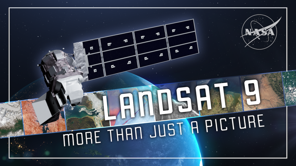
For over 50 years, the Landsat program has provided the longest continuous satellite record of Earth's land surface from space. Landsat 9, launched in 2021, is the latest mission in this remarkable legacy.