Earth planning date: Wednesday, March 27, 2024
As someone who studies planetary atmospheres, the geology of Curiosity's mission often flies straight over my head. I like to think that I've picked up some of the basics just through exposure, but sitting in with the geology team at the start of planning each day can sometimes still leave me feeling like I've forgotten how to swim seconds before being dropped into the deep end of a pool. One thing that I'm definitely able to do though is appreciate the stunning photos that Curiosity has been taking as we drive up along the side of the upper Gediz Vallis Ridge. Today, the pile of phenomenal images we have of this area will continue to grow.
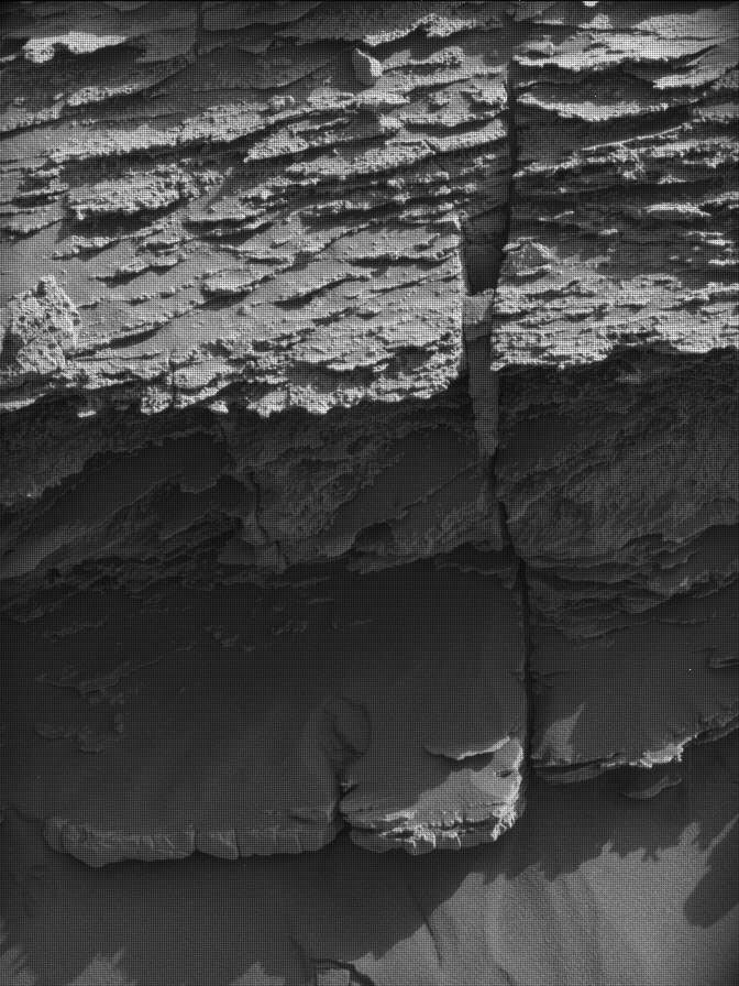
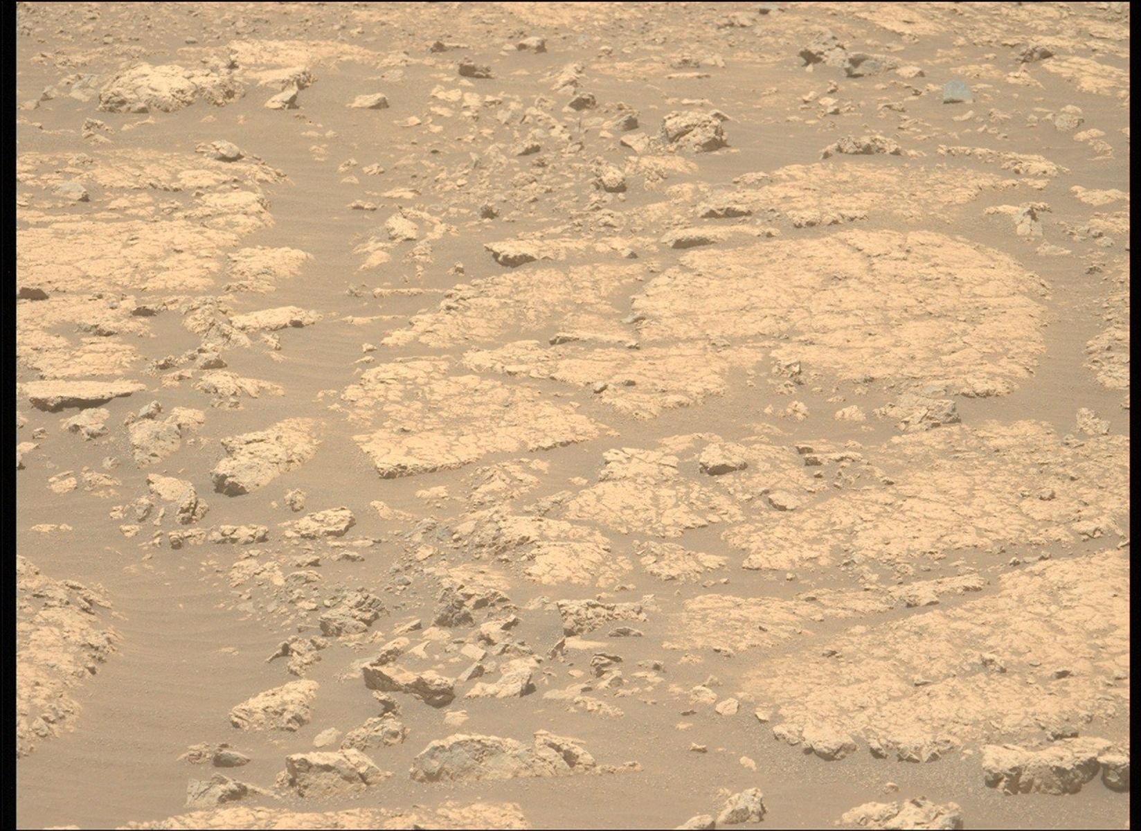
Curiosity's day begins with some observations of the bedrock in our workspace, first getting APXS observations of "Rainbow Falls" and then five LIBS shots at "Crystal Turret." ChemCam will then turn its eye to Fascination Turret, which we have imaged from other angles in previous plans, taking two long-distance RMI mosaics. (As an aside, "long-distance" is definitely a relative term here. The part of Fascination Turret we're imaging is about 25–30 m away, which feels like nothing compared to the RMI mosaics of the northern rim of Gale that we've taken in the past, which is over 30 km away!)
Once ChemCam is done, it will be Mastcam's time to shine with documentation images of Cristal Turret post-LIBS, a mosaic of our eventual drive target "Hinman Col," as well as context imaging of the upper Gediz Vallis Ridge to help us choose targets in the future and two colour images of the areas captured in the RMI mosaics earlier. After we're finished taking a look around us, we'll turn back to our workspace for one last time, taking MAHLI images of Rainbow Falls and "Rancheria Falls." Finally, we drive away towards Hinman Col, taking some Mastcam images once we arrive to help us build our next few plans.
Overnight, we take a nice long rest to help recharge our batteries before waking up in the early morning to take another Mastcam mosaic of Fascination Turret (it's definitely living up to its name!), this time under different illumination conditions than we get in the midsol or afternoon. After a quick one hour power nap, we'll wake up again for some more remote sensing science. As is typical after a drive, we let ChemCam choose its own post-drive target with AEGIS before moving into some environmental science.
We're rapidly nearing the peak of the dusty season, so the environmental science team's observations are very dust-focused. We begin by using Navcam to take some images of the northern crater rim to observe the amount of dust between the rover and the rim. As can be seen in the above image, we've got quite a bit of dust in the air at the moment. You really have to squint to just barely make out the crater rim! We'll then take some "deck monitoring" image to see how the wind and the rover's motion as it drives affects the sand that has gathered on top of the rover deck since landing. After that, we'll survey the area around us for dust devils and take a "Suprahorizon Movie." The Suprahorizon Movie is usually used to look for clouds over Gale, but we've adjusted the direction that it points to look over a large sand patch that we drove past about 260 sols ago so that it can pull double-duty to hunt for wind-driven sand lifting or dust devils in addition to clouds.
Thoroughly exhausted, Curiosity will sleep the rest of the plan away, briefly waking up several times to send data back to Earth. Of course, I would be remiss if I didn't mention the ongoing efforts of REMS, RAD, and DAN throughout this plan to monitor the weather and radiation environment and look for hydrated minerals in the subsurface.
Written by Conor Hayes, Graduate Student at York University


