


![Request for Information – Potential [Placeholder for Prize]](https://assets.science.nasa.gov/dynamicimage/assets/science/psd/solar/2023/09/s/solarsystem_0.jpg?w=1024)


Description
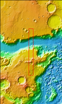
Context image
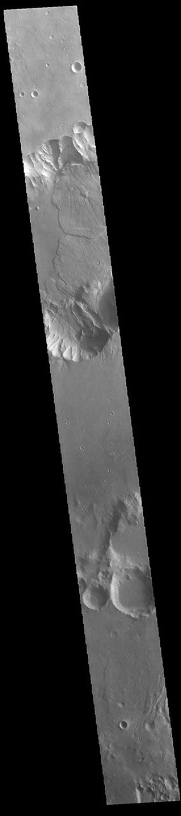
Today's VIS image shows a small section of Capri Chasma. Landslide deposits dominate this part of Capri Chasma. The downslope movement of materials flowed all the way to the center of the chasm, with the one from the northern cliff overlapping one from the southern cliff. Radial grooves and lobate margins are common on martian landslides.
Orbit Number: 88212 Latitude: -8.70795 Longitude: 318.685 Instrument: VIS Captured: 2021-11-02 16:16
Please see the THEMIS Data Citation Note for details on crediting THEMIS images.
NASA's Jet Propulsion Laboratory manages the 2001 Mars Odyssey mission for NASA's Science Mission Directorate, Washington, D.C. The Thermal Emission Imaging System (THEMIS) was developed by Arizona State University, Tempe, in collaboration with Raytheon Santa Barbara Remote Sensing. The THEMIS investigation is led by Dr. Philip Christensen at Arizona State University. Lockheed Martin Astronautics, Denver, is the prime contractor for the Odyssey project, and developed and built the orbiter. Mission operations are conducted jointly from Lockheed Martin and from JPL, a division of the California Institute of Technology in Pasadena.


