


Description
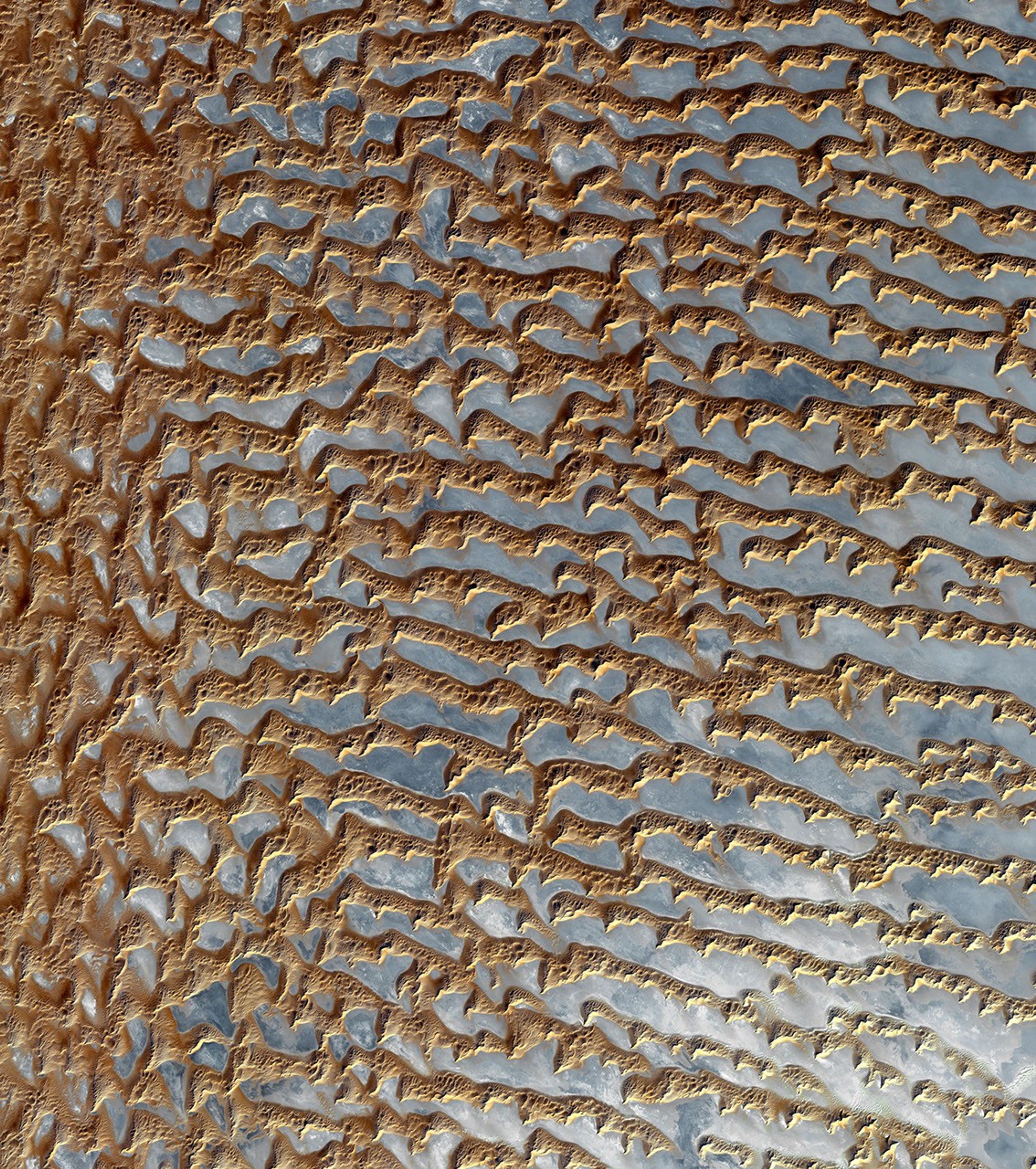
The Rub' al Khali is one of the largest sand deserts in the world, encompassing most of the southern third of the Arabian Peninsula. It includes parts of Oman, United Arab Emirates, and Yemen. The desert covers 650,000 square kilometers, more than the area of France. Largely unexplored until recently, the desert is 1000 km long and 500 km wide. The first documented journeys made by Westerners were those of Bertram Thomas in 1931 and St. John Philby in 1932. With daytime temperatures reaching 55 degrees Celsius, and dunes taller than 330 meters, the desert may be one of the most forbidding places on Earth.
The image was acquired December 2, 2005, covers an area of 54.8 x 61.9 km, and is located near 20.7 degrees north latitude, 53.6 degrees east longitude.
The U.S. science team is located at NASA's Jet Propulsion Laboratory, Pasadena, Calif. The Terra mission is part of NASA's Science Mission Directorate.


