Sentinel-1B
Filters

Critical infrastructure is threatened as sinking land amplifies global sea level rise.

A shallow quake struck in the middle of the night and hit an area where people live in homes that…

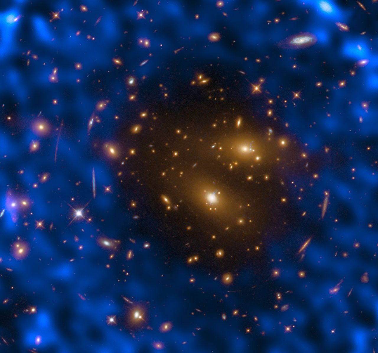
Scientists recently chronicled the death throes of A-68A, one of the world’s largest-known icebergs.

Flows of superheated ash and tephra mixed with rain to create destructive rivers of debris on the Indonesian volcano.
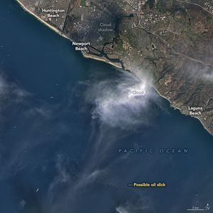
Satellite imagers can make oil spills easier to detect in open water.

Researchers have created a satellite-based tool to help officials identify new activity.

Earth’s surface may seem motionless most of the time, but an array of measurements show that natural and human-caused processes…

Millions of people in the state live in low-lying coastal areas where land subsidence is exacerbating the risks of sea…
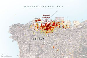
Radar imagery of ground surface changes could help with efforts at disaster relief and recovery after the explosion.