




























Remote Sensing Technology
Filters
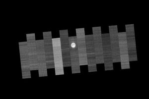
Once a month during the full Moon, Landsat 9 turns from Earth to image the lunar surface, helping keep the…
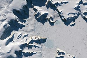
Scientists relied on satellite data to understand how the Antarctic glacier lost so much ice so rapidly.
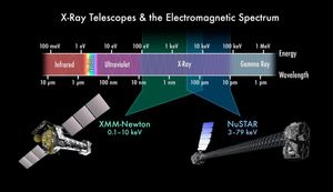
| Video | Grades 9-12+ | Big Idea 2.3 | This 5-minute-long video provides an introduction to electromagnetic spectrum.
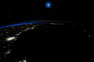
An astronaut captured a moonrise—and much more—in a series of photos taken from the International Space Station.
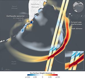
Data provided by the water satellite are helping to improve tsunami forecast models.
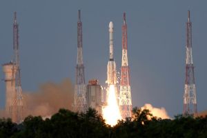
The NISAR satellite will detect the movement of land and ice surfaces with centimeter precision, aiding in a range of…
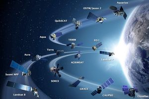
Sixteen operating satellites monitored Earth in July 2013; ten years later, the fleet has grown substantially.
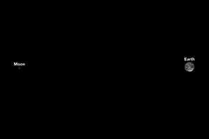
A spacecraft designed to explore asteroids near Jupiter also looked back at Earth, acquiring distant views of our Moon and…
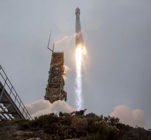
The joint effort extends a five-decade record of observing Earth’s landscapes, icescapes, and coastal waters.
